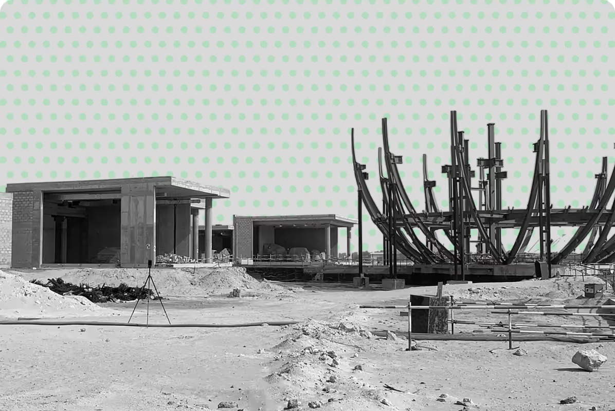
Bathymetric & Marine Survey Services
Bathymetric and marine surveys provide accurate mapping of underwater terrain, supporting coastal, marine, and infrastructure projects.
From ports and dredging to environmental studies, reliable bathymetric data and hydrographic surveying ensure safe planning, design, and decision-making.
What is a Bathymetric Survey?
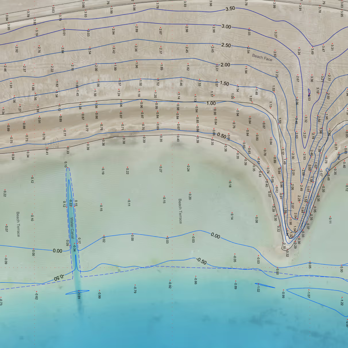
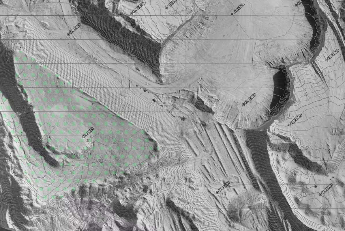
Bathymetric surveys capture the depth, shape, and characteristics of underwater terrain, providing a clear understanding of subsurface conditions for marine and coastal projects.
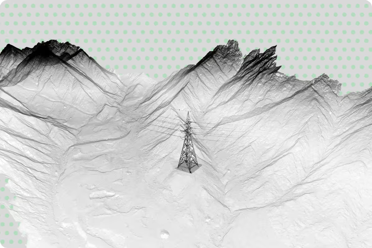
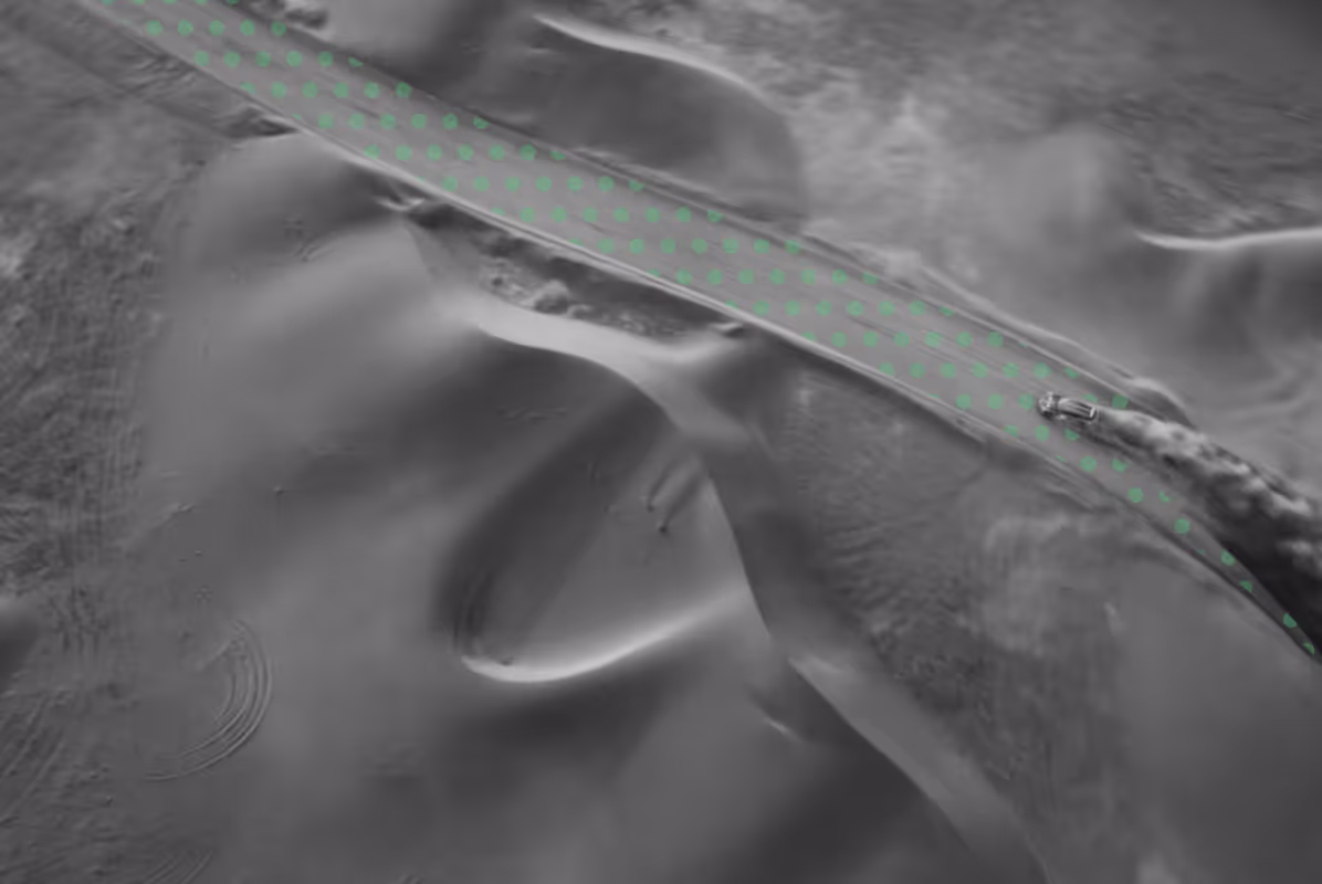
Similar to topographic surveys on land, bathymetric mapping produces detailed models of seabeds, riverbeds, and reservoirs, allowing project teams to assess areas that are not visible from the surface.
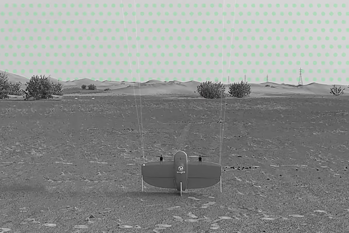
Using technologies such as single-beam and multi-beam sonar, GNSS positioning, and specialised marine equipment, survey data is collected and processed into accurate representations of underwater environments for engineering and environmental applications.
Bathymetric surveys can support a wide range of marine, coastal, environmental, and infrastructure projects, including:
High-resolution seabed mapping to support harbour design, coastal engineering, and infrastructure planning.
Targeted depth and profile data to verify dredging progress and confirm design levels.
Quantitative analysis of dredged or deposited material volumes for compliance and project verification.
Mapping of shorelines, intertidal zones, and nearshore areas for erosion studies, flood risk, and development planning.
High-resolution monitoring of mangrove habitats and coastal ecosystems for conservation and environmental management.
When is a Bathymetric Survey Required?
Bathymetric and marine surveys are essential for hydrographic surveying and underwater mapping, particularly when working in or around water environments:
- Coastal and marine construction projects
- Port, harbour, and marina development
- Dredging and sediment monitoring
- Bridge, pipeline, and offshore infrastructure planning
- Environmental and marine habitat studies
- Flood risk and water management assessments
These surveys help identify depth variations, underwater hazards, and sediment build-up, providing critical insight for safe navigation, engineering design, and project planning.
Our Approach to Bathymetric & Marine Surveys
We combine modern hydrographic survey techniques with precise positioning systems to deliver consistent and reliable results, through a structured workflow that includes:
- Survey planning aligned with site conditions and project requirements
- Data capture using sonar and marine positioning systems
- Integration with topographic and GIS datasets
- Processing into accurate seabed models and maps
- Delivery in formats ready for engineering and analysis

Why Choose UPG Surveying for Bathymetric & Marine Surveys
Integrated land and marine survey expertise
Seamless connection between topographic, GIS, and bathymetric data, providing a complete understanding of site conditions.
Reliable underwater data for decision-making
Clear, structured outputs that support engineering design, dredging operations, and marine planning.
Scalable solutions for complex environments
From small water bodies to large coastal developments across Abu Dhabi and the UAE.
Accurate data aligned with project requirements
Survey data delivered in formats ready for engineering, analysis, and coordination across project teams.
Deliverables for Your Workflow
UPGS takes your scope, with the level of detail and desired outputs, does the fieldwork in accordance with industry standards and processes your data, analysing, cleaning and converting it into the deliverables you need:
.png)


Understand your waterways with accurate mapping