Built on Experience. Focused on Every Project.

Supporting Surveying Projects Across the Region
Our work is closely connected to the region’s development, supporting projects that shape infrastructure, communities, and heritage across Abu Dhabi, the UAE and the Middle East.
We have experience across a wide range of environments, from archaeological and heritage sites to urban developments, infrastructure corridors, and natural landscapes.
Each project requires a different approach, and we adapt our methods to suit the site and its conditions.
Our services include topographic surveys, 3D laser scanning, GIS mapping, utilities mapping, and marine surveys, supporting projects at different stages from planning to delivery.
We focus on providing clear, reliable data that helps teams understand their sites, reduce uncertainty, and move projects forward with confidence.

How We Work
Technology
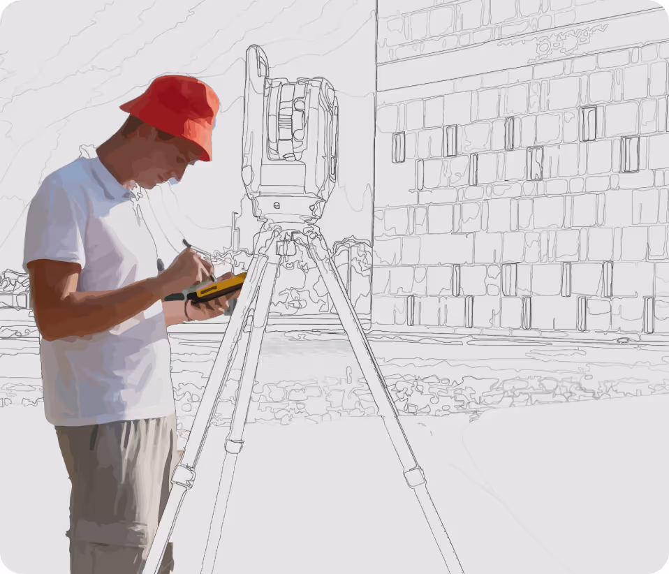
We use the right surveying tools for each project, including 3D laser scanning, GIS mapping and mobile data capture, to deliver accurate and reliable site information.
Experience
With over 15 years of experience in Abu Dhabi and the UAE, we have worked across infrastructure, heritage and environmental projects, adapting to different site conditions and requirements.
Partnerships
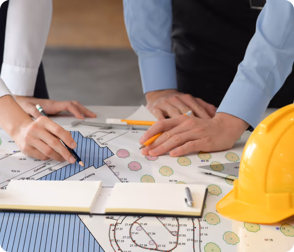
We work closely with project teams to understand requirements, respond to site conditions and deliver data that supports clear and confident decision-making.
Power your project with reliable spatial data