Heritage & Archaeology Survey Services
Heritage and archaeology projects require accurate documentation to preserve existing conditions, support conservation efforts, and provide reliable spatial data for future planning and analysis.
From archaeological excavations and historic buildings to museums and cultural landscapes, digital survey documentation helps project teams record sites with precision while minimising disruption to sensitive environments.
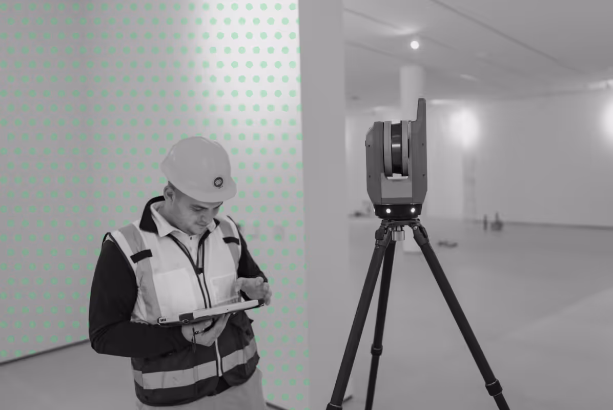
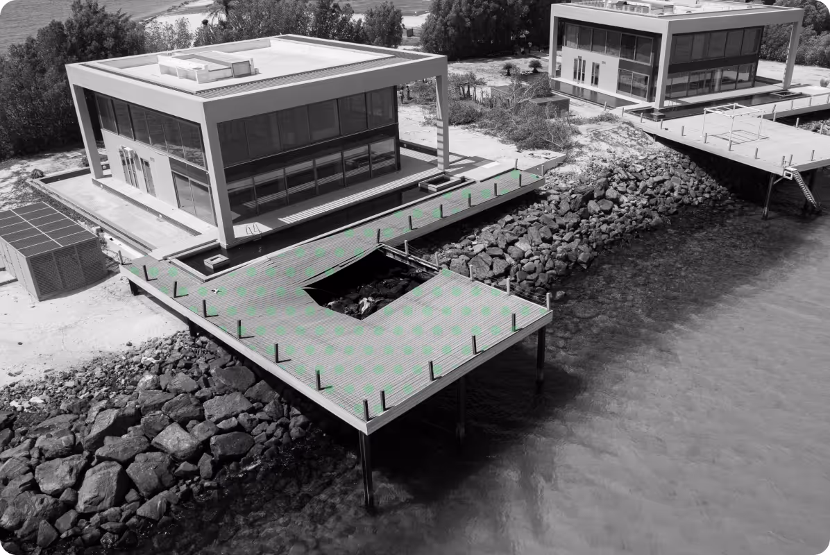
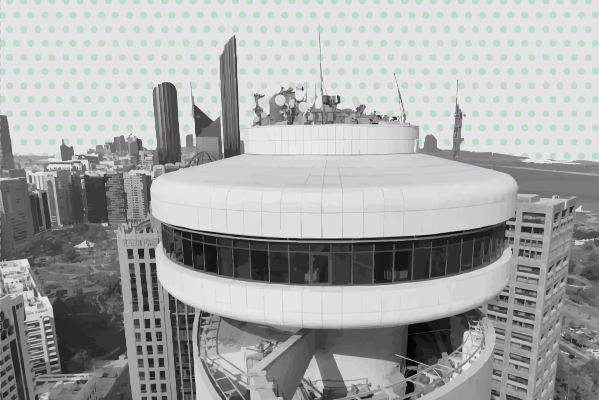
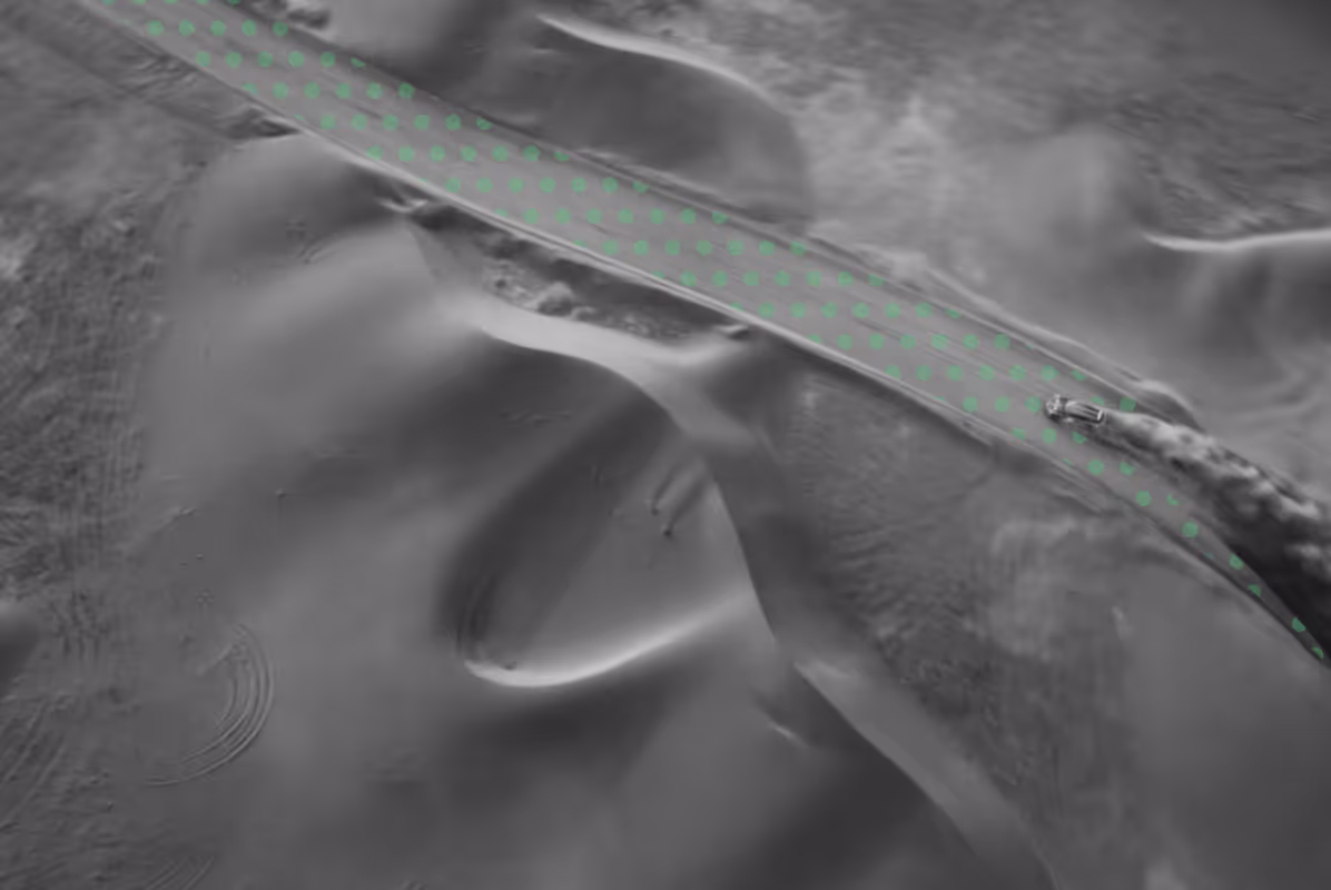
At UPG Surveying, we provide heritage and archaeology survey services across Abu Dhabi and the UAE using 3D laser scanning, photogrammetry, topographic surveying, GIS mapping, and measured surveys. Our deliverables support conservation specialists, architects, archaeologists, planners, and cultural institutions with accurate datasets for restoration, design coordination, research, and long term heritage management.
What is Heritage & Archaeology Survey Documentation?
Heritage and archaeology survey documentation is the process of digitally recording historic sites, structures, artefacts, and landscapes using surveying and geospatial technologies.
The aim is to capture accurate geometry, spatial relationships, textures, and existing site conditions to create reliable records for conservation, restoration, planning, and archival purposes.
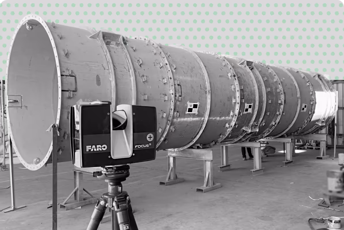
These surveys may include topographic mapping, 3D laser scanning, photogrammetry, measured drawings, GIS analysis, and photographic documentation depending on the scope and level of detail required. The resulting datasets can be integrated into CAD, BIM, GIS, and digital archive systems for ongoing project use and long term preservation.
Our Heritage & Archaeology Survey Services include:
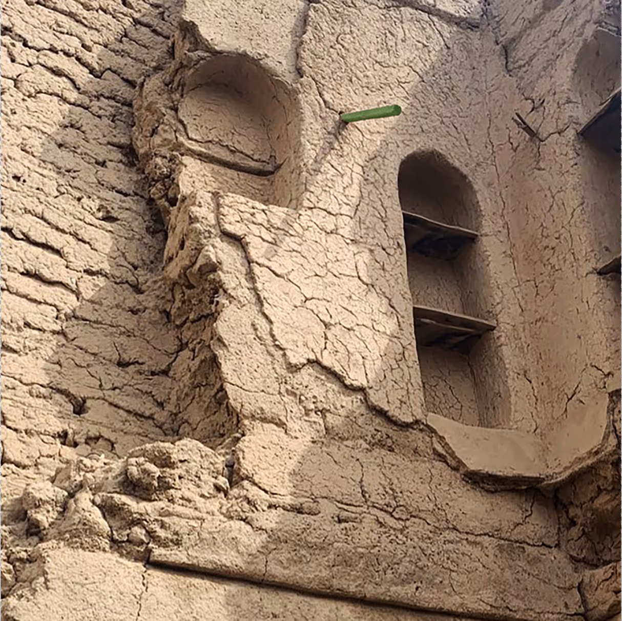
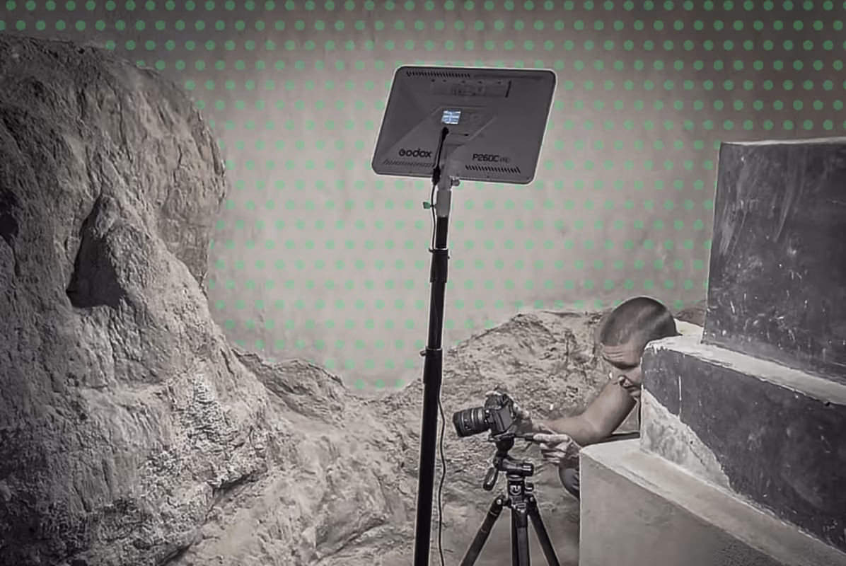
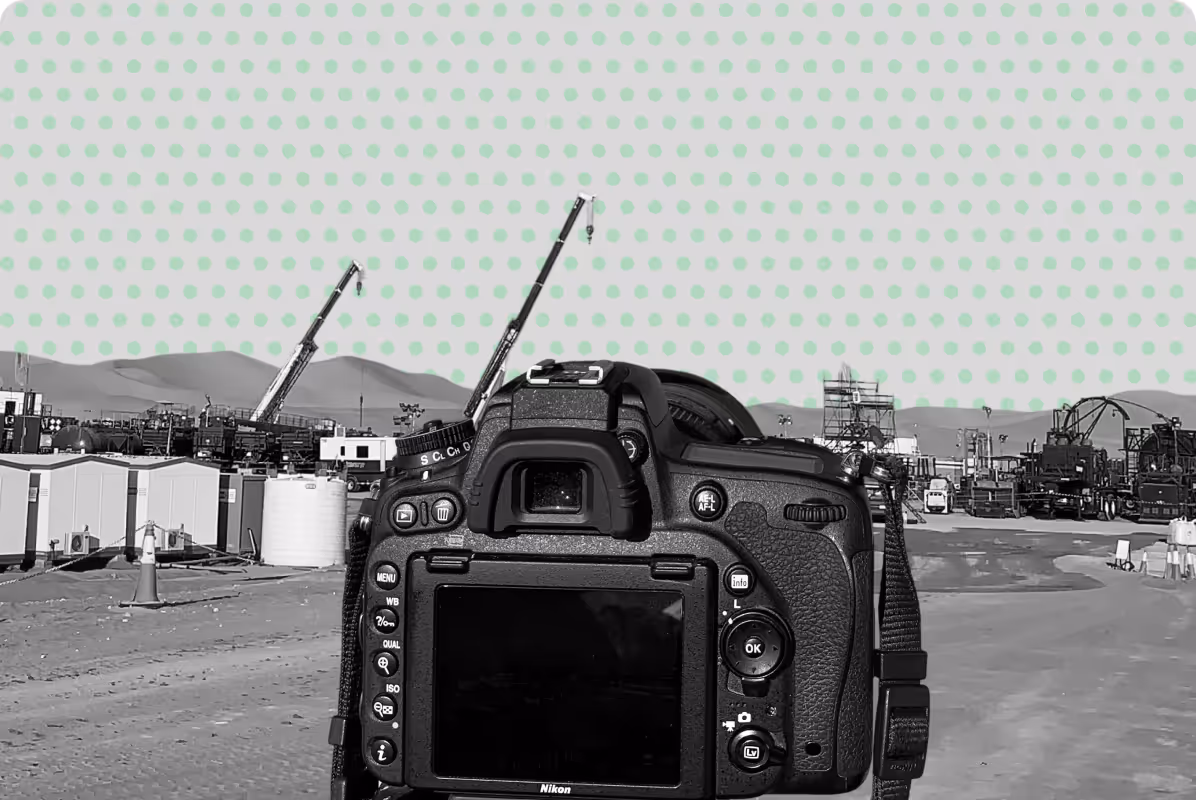
High-resolution image capture for façades, interiors, and decorative details.
Measured plans, elevations, and sections in CAD or Revit format for conservation and design at the level of detail requested.
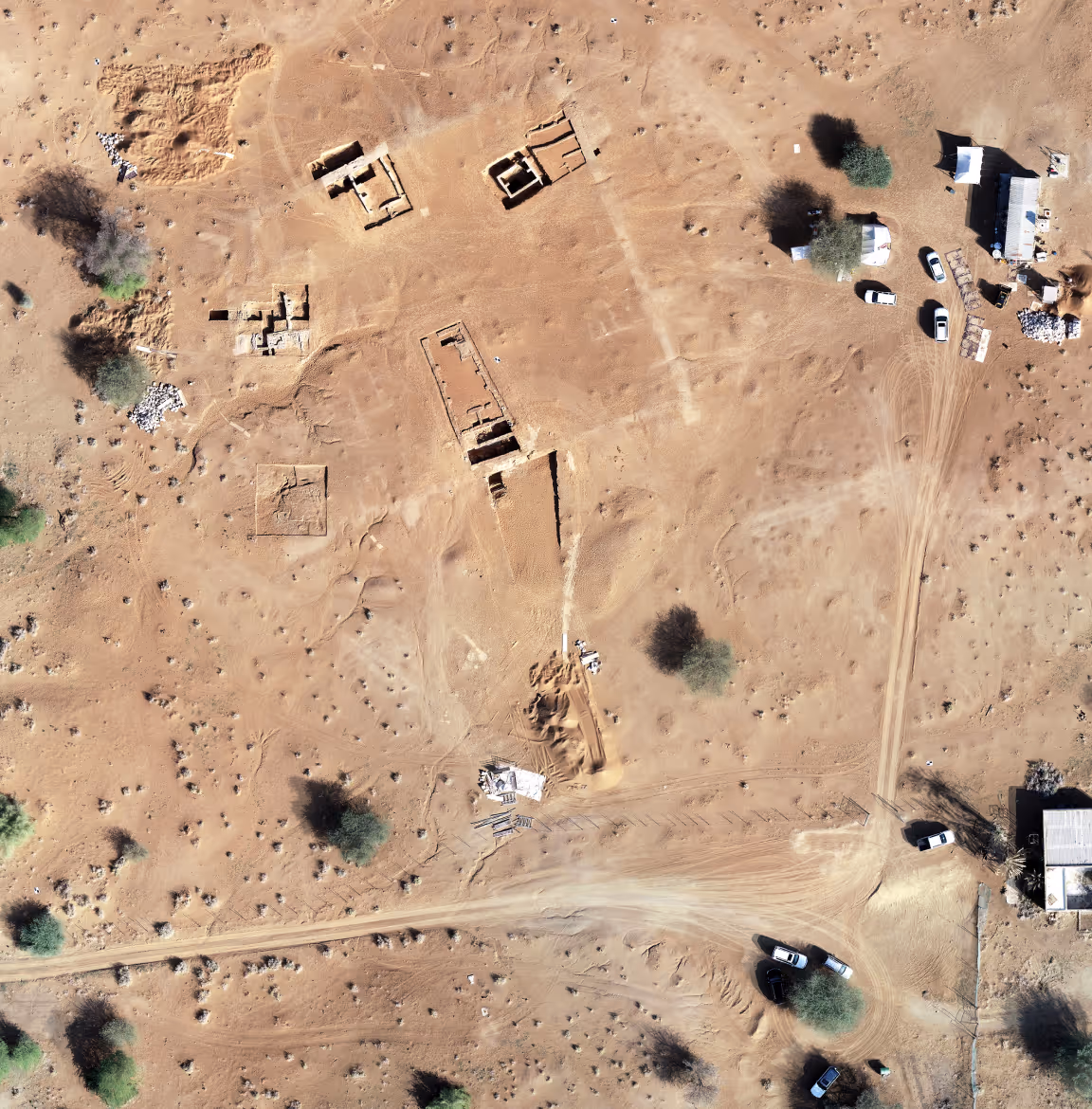
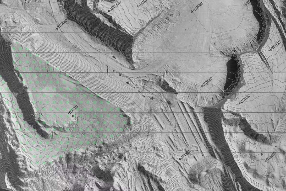
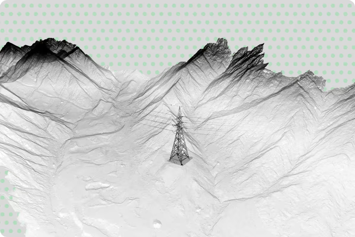
Topographical maps, 3D terrain Models (DTM /DSM),
Georeferenced Points clouds, Contour Lines & Elevation data, CAD & GIS files.
Systematic documentation for archives, museums, and restoration reference.
• Archival photos
• Context photos
• Perspective and Panoramic photos
• Site Photos
• Elevation photos
• Detailed Photos
Integration of heritage data into planning studies for site development and long-term management.
When Are Heritage & Archaeology Surveys Required?
Heritage and archaeology surveys are carried out to accurately record existing conditions and create reliable spatial documentation of culturally significant sites and structures. These datasets support conservation planning, restoration works, research, design coordination, and long term heritage management.
You may require heritage and archaeology survey services when:
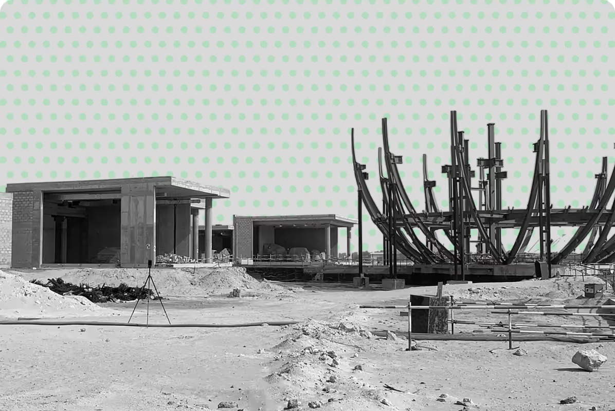
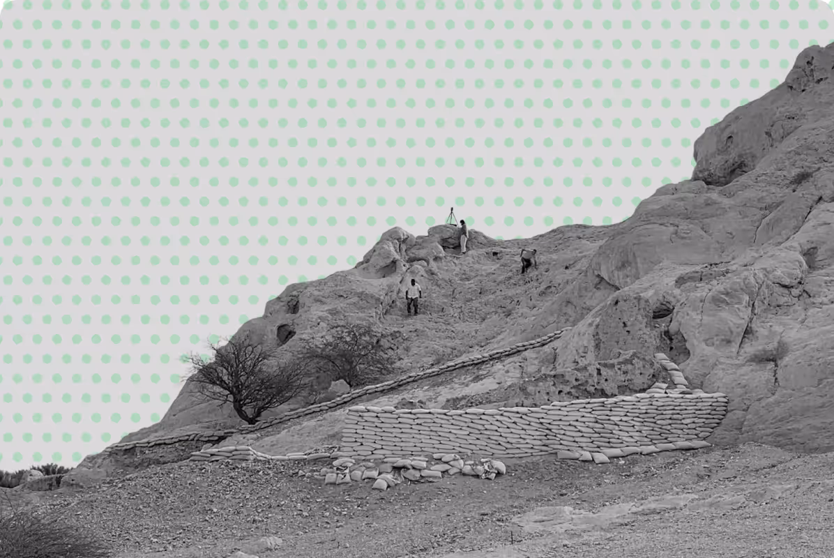
- Documenting archaeological excavations or heritage assets
- Preparing restoration or conservation works
- Recording existing conditions before development or rehabilitation
- Producing measured drawings for architects and consultants
- Creating digital archives for museums or cultural institutions
- Supporting master planning and heritage management strategies
- Capturing historic districts, monuments, or culturally significant landscapes
Our Approach to
Heritage & Archaeology Surveys
At UPG Surveying, we combine accurate field documentation with structured data processing to produce reliable spatial datasets for heritage and archaeology projects.
Our approach is designed to support conservation, restoration, planning, and long term heritage management workflows.
Our workflow may include:
- Accurate on site spatial data capture using advanced survey technologies
- Processing and validation of survey and geospatial data
- Preparation of maps, drawings, 3D models, and spatial datasetsIntegration of deliverables into CAD, BIM, and GIS workflows
- Delivery of structured datasets suitable for analysis, planning, and archival purposes
Why Choose UPG Surveying for Heritage & Archaeology Projects?
Accurate Spatial Documentation
We capture reliable spatial data using 3D laser scanning, photogrammetry, topographic surveying, and GIS workflows to support conservation, restoration, and planning.
Non Intrusive Survey Methods
Our documentation approaches are designed to minimise disruption to sensitive archaeological sites, historic structures, and culturally significant environments.
CAD, BIM & GIS Ready Deliverables
Survey outputs are prepared for integration into architectural, engineering, conservation, and heritage management workflows.
Experience Across Complex Heritage Sites
We support heritage, museum, archaeological, and conservation projects across Abu Dhabi and the UAE with tailored survey methodologies and scalable deliverables.
Deliverables for Your Workflow
UPG Surveying takes your scope, with the level of detail and desired outputs, does the fieldwork in accordance with industry standards and processes your data, analysing, cleaning and converting it into the deliverables you need:
.png)


Ready to Document Your Heritage Site?