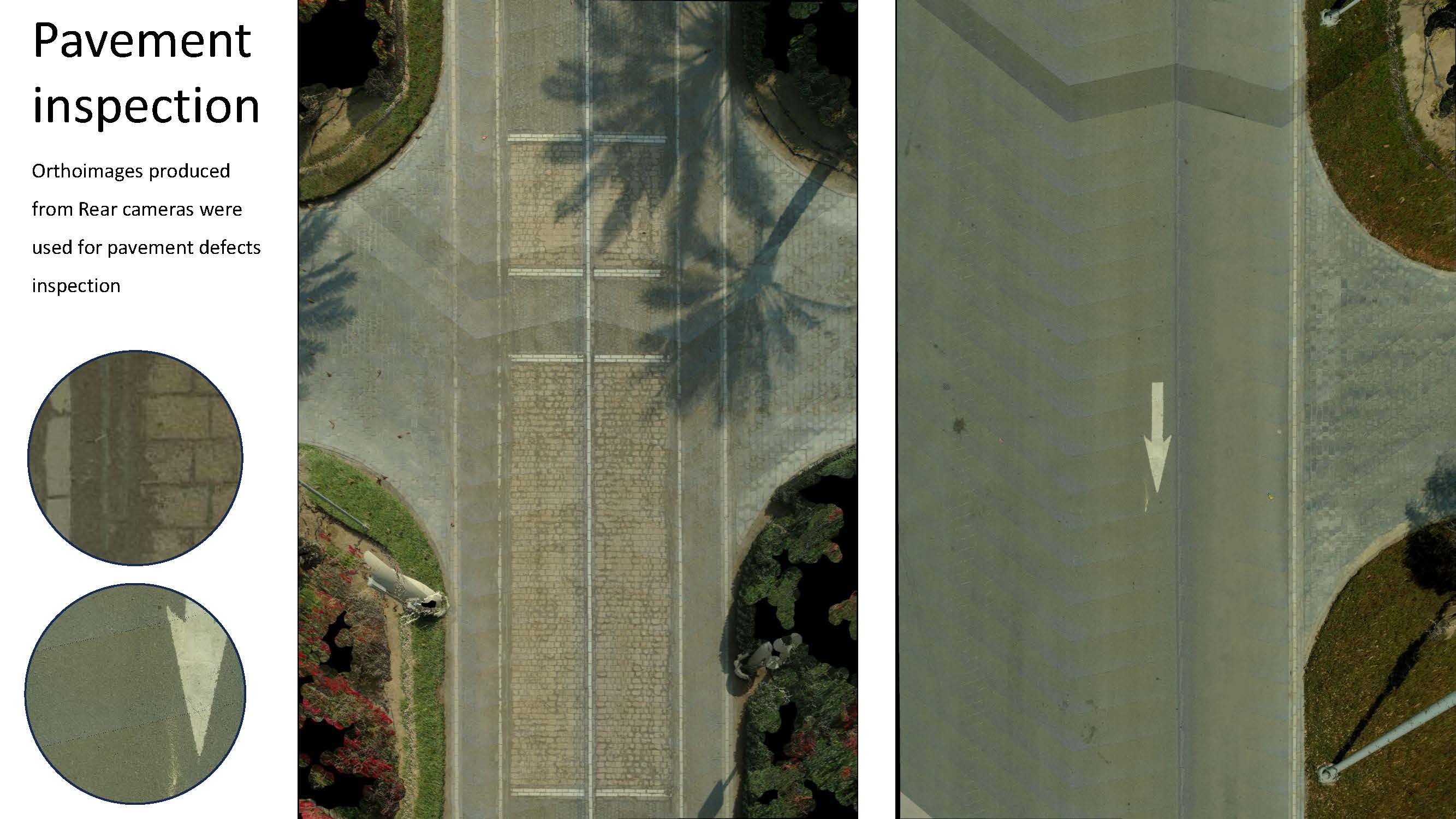
Roads Project

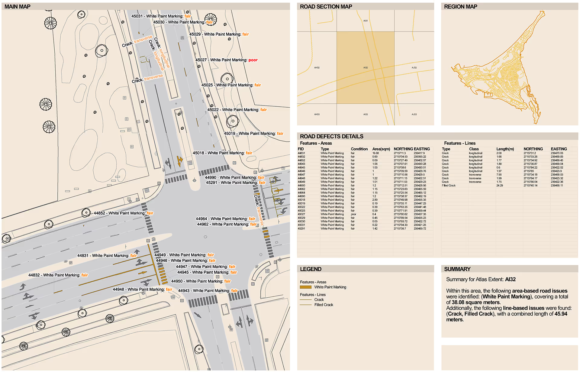
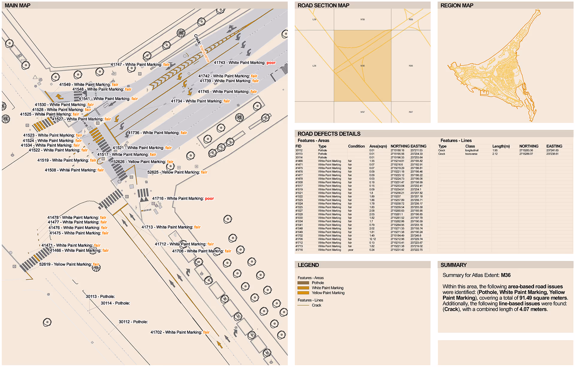
We were engaged by the city’s largest real estate developer in response to a clear and urgent requirement: to gain a comprehensive understanding of the current condition of their extensive road network. The client sought a full assessment of approximately 550 km of linear roads distributed across six major zones and residential communities within the city. Their objective was to identify, categorise, and map all existing asphalt defects and pavement damage, including their size, type, and precise location.
The deliverables had to support multiple levels of decision-making. Senior management needed high-level insights to understand the scale of potential issues and to plan future investment and maintenance strategies. The management team required detailed datasets and reports that would enable them to initiate and structure tender processes for road repair works. Additionally, the facility management and engineering teams needed accurate, field-verified information to supervise the tendering, execution, and quality control of subsequent maintenance activities.
Scope of Work
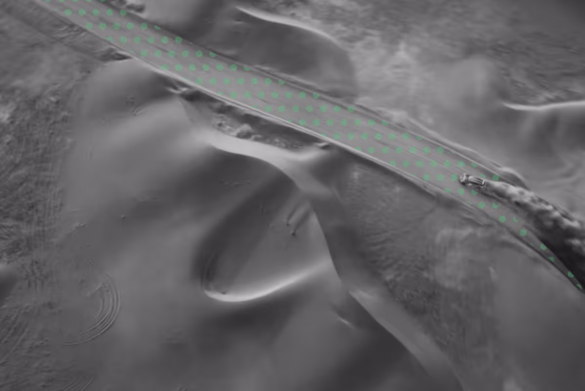
Our scope was to design and deploy a fast, high-efficiency survey system capable of capturing large areas within a very short timeframe—30 days—while ensuring accurate and rich data collection along road corridors of up to 80 metres in width in some zones.
Given the diversity of the road network, with widths ranging from one to two lanes per direction in smaller roads up to five lanes per direction in major thoroughfares, careful planning was required to establish survey lines and ensure sufficient overlap between passes. This was critical to guarantee data quality suitable for 1:500 scale topographical mapping and defect extraction.
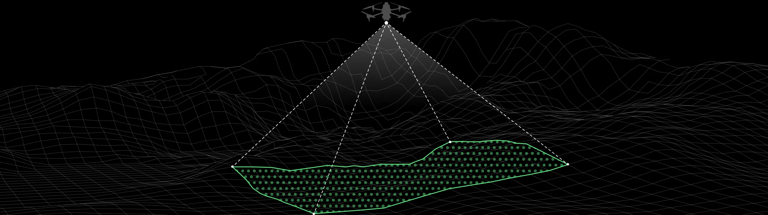
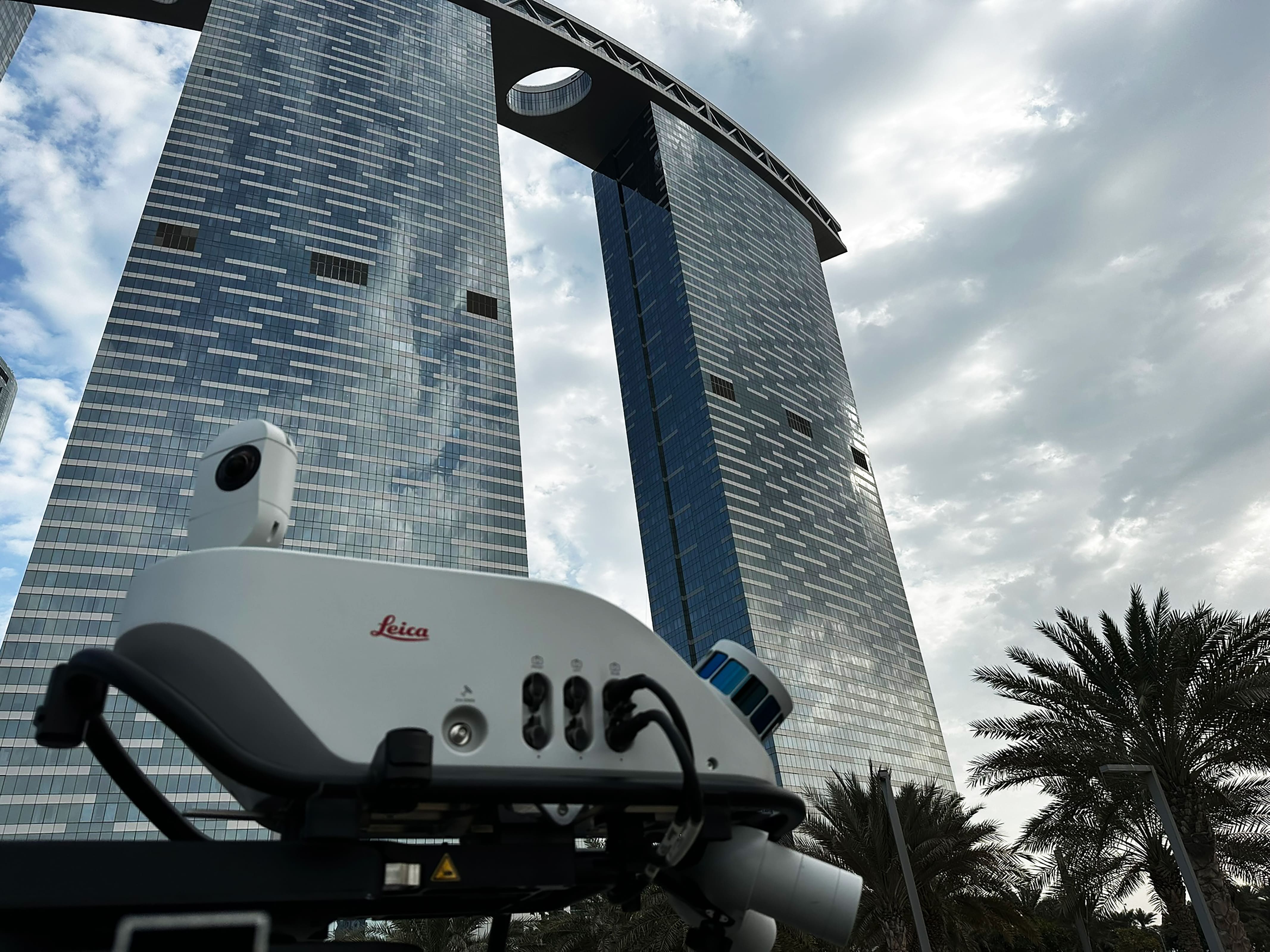
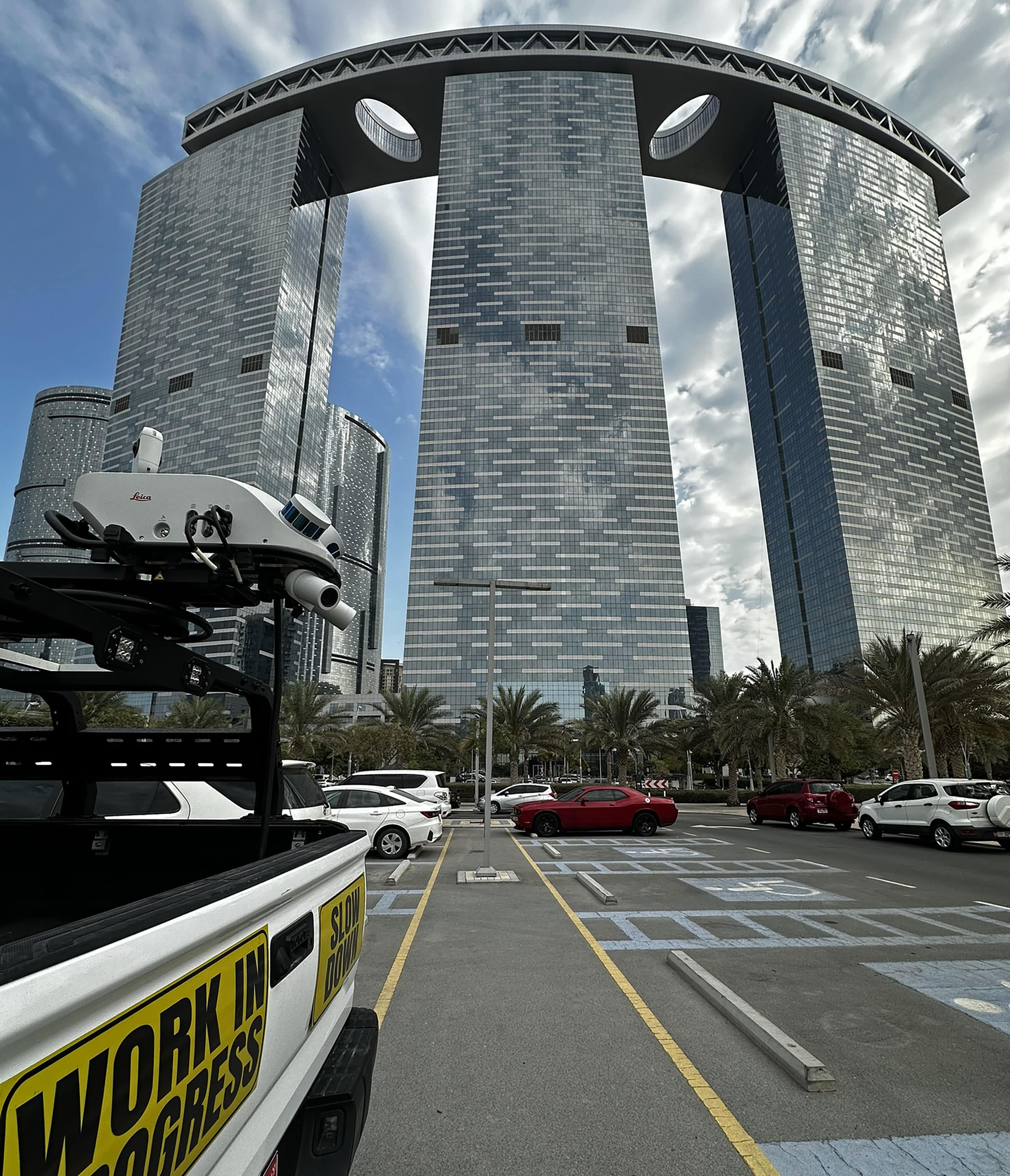
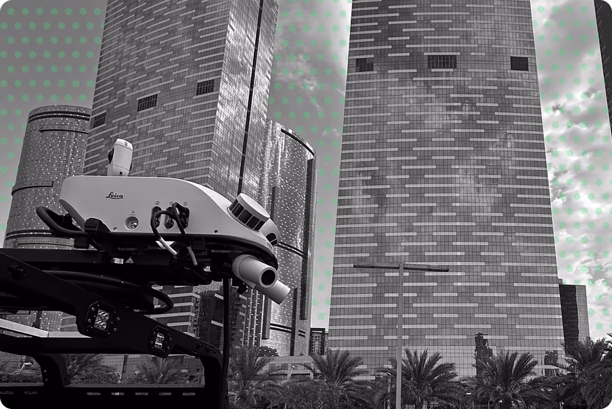
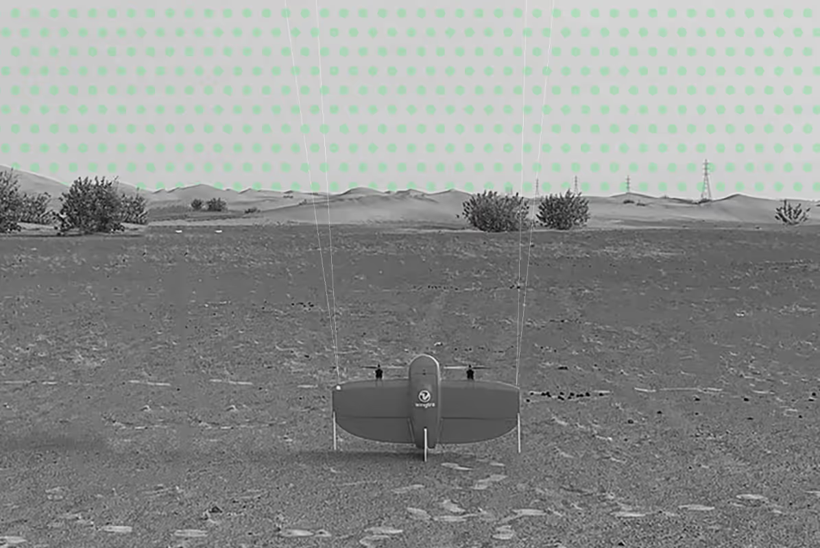
The use of UAVs or helicopters equipped with LiDAR was not feasible due to the proximity of airports and helipads, as well as the dense vegetation bordering most roads. Therefore, the solution had to rely on ground-based mobile mapping systems equipped with advanced sensors and cameras, optimised for speed, accuracy, and comprehensive coverage.
.jpg)
for Themselves
.png)


Discover next-level solutions with UPG Surveying