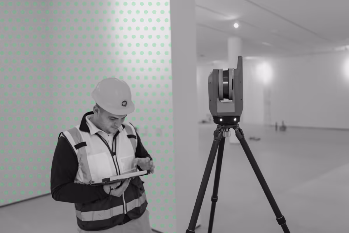
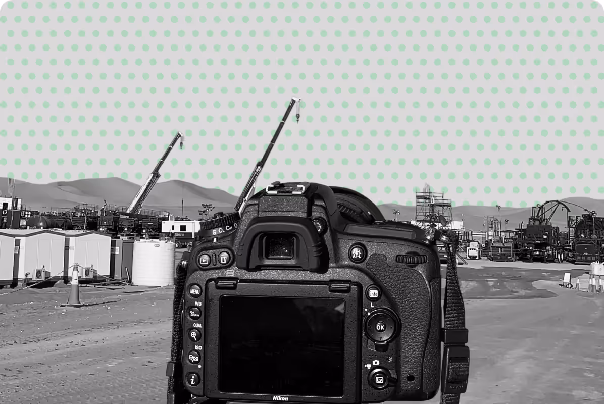
3D Laser Scanning Services
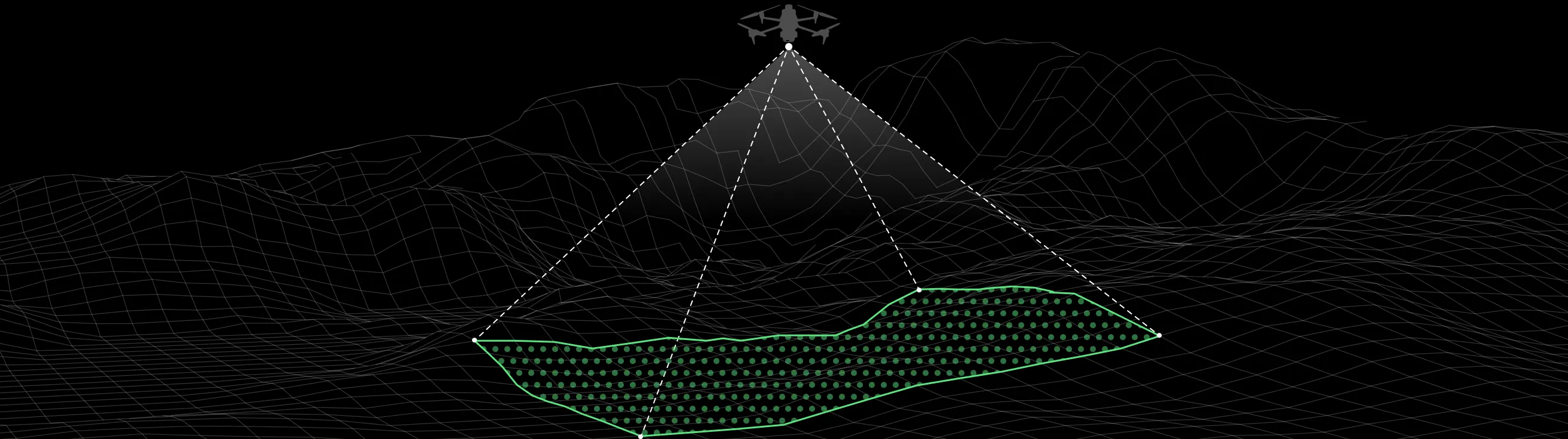
3D laser scanning provides a fast and reliable way to capture existing conditions by recording millions of measurements across a site.
The result is a detailed digital representation that allows project teams to understand structures, spaces, and environments with clarity before design or construction work begins.
What is 3D Laser Scanning?
3D laser scanning is a method of collecting spatial data by measuring surfaces and objects to create a dense set of points, often referred to as a point cloud.
This data describes the shape, position, and relationships of elements within a space, allowing it to be used for drawings, models, and detailed analysis.
3D laser scanning supports a wide range of applications across different industries and project types, including:
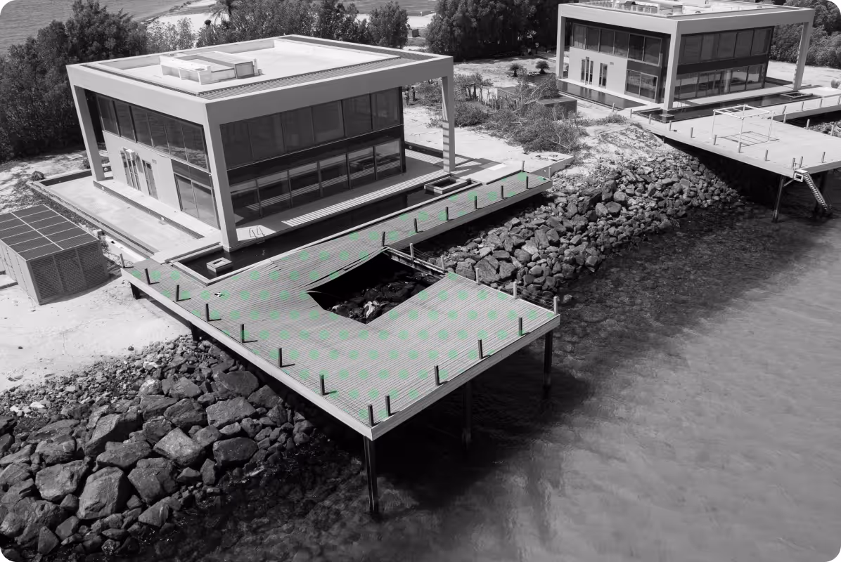
Detailed 2D & 3D models for planning, design coordination, and asset management.
Accurate capture of existing conditions using point cloud data for renovation, restoration, and compliance.
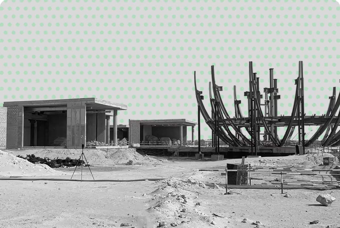
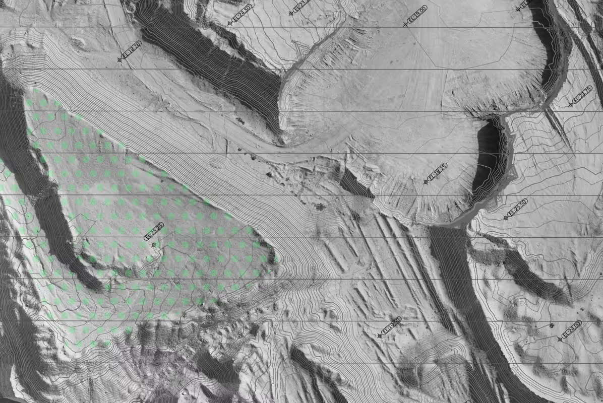
Compare actual site progress with design models to detect deviations early.
Detect and resolve spatial conflicts between structural, architectural, and MEP systems using coordinated 3D data.
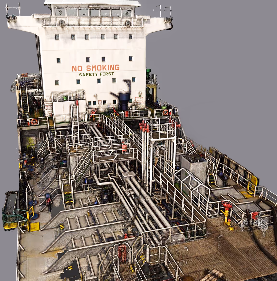
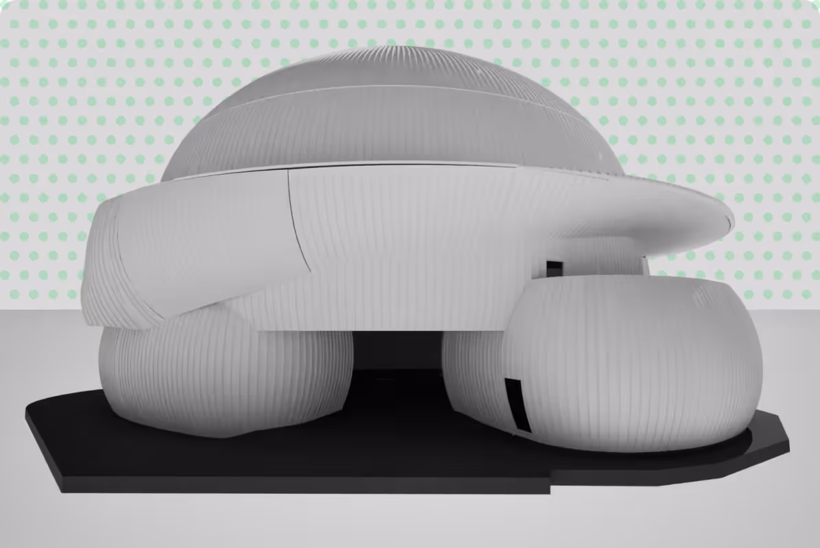
Convert point cloud data into intelligent BIM models for streamlined coordination and project workflows..
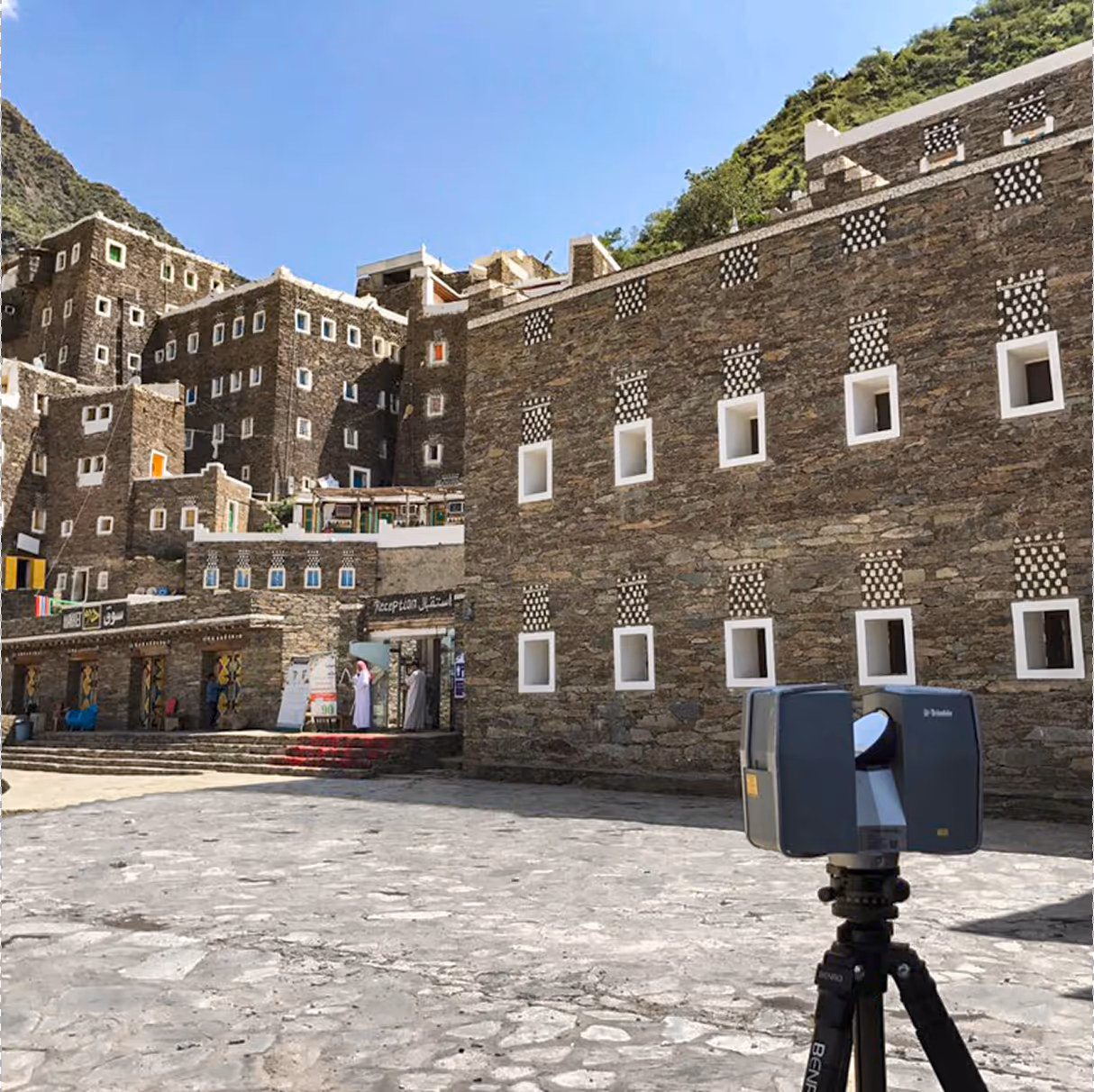
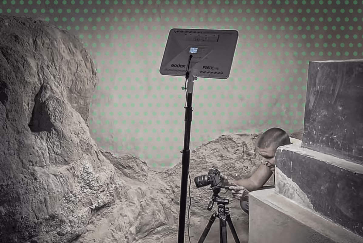
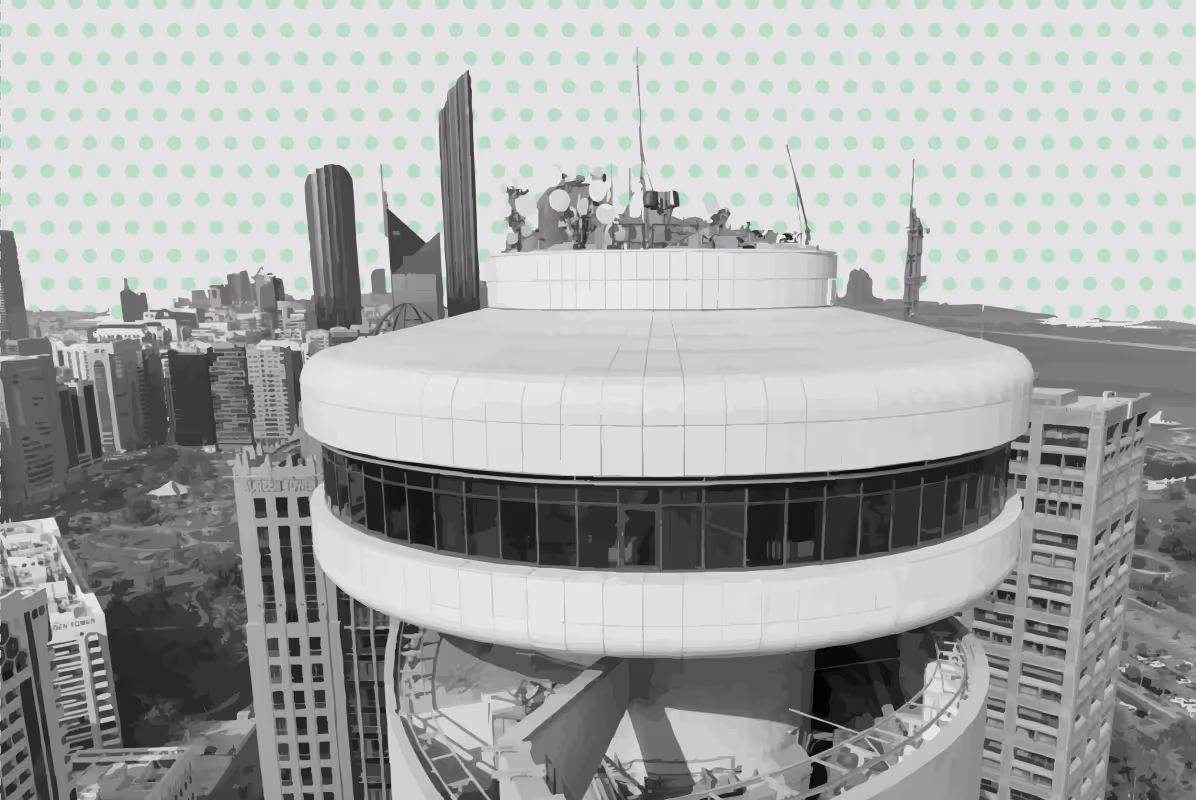
High-resolution 3D laser scanning for precise documentation and preservation of historic sites and artefacts.
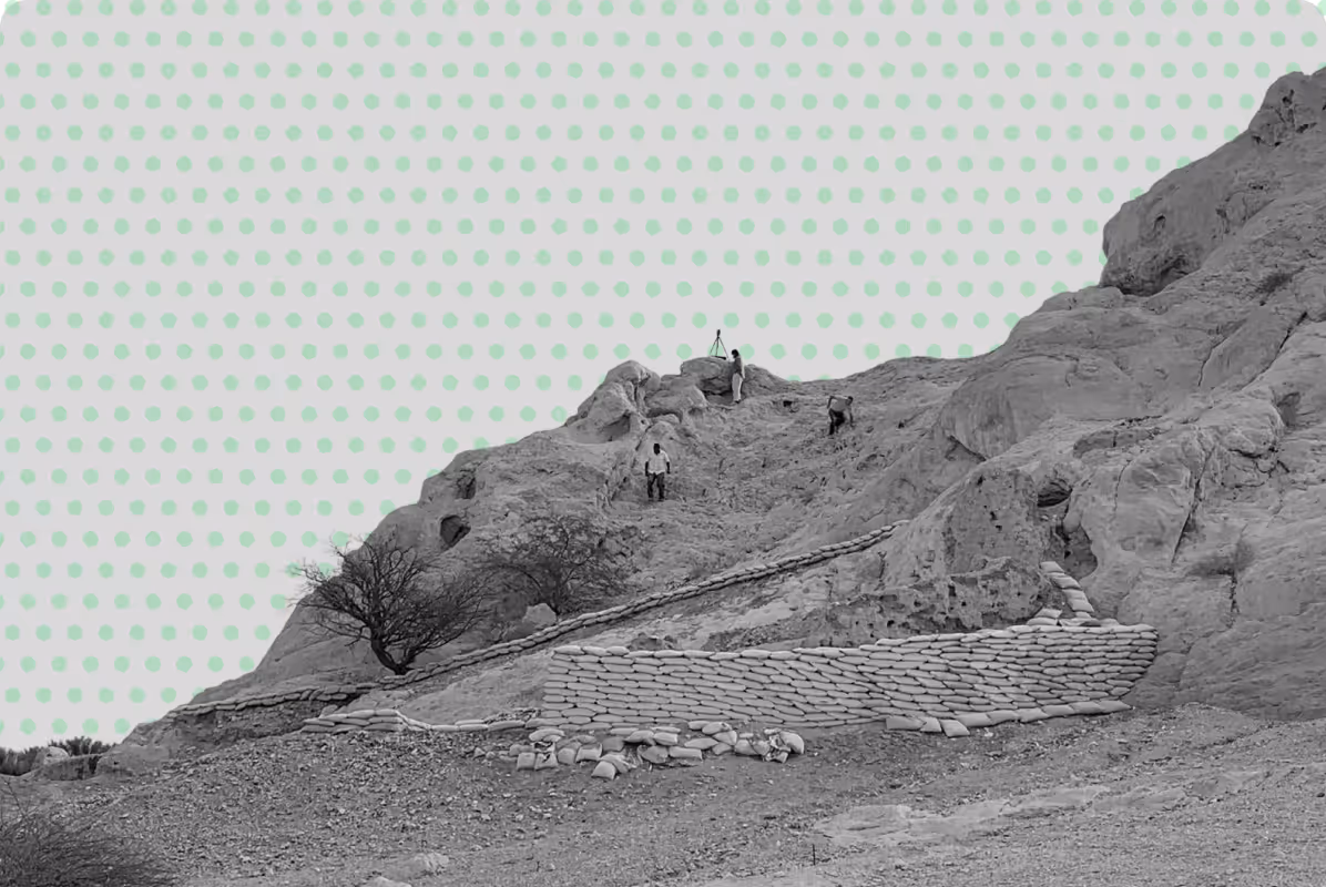
Regular scans to track movement or settlement in structures, bridges, or earthworks.
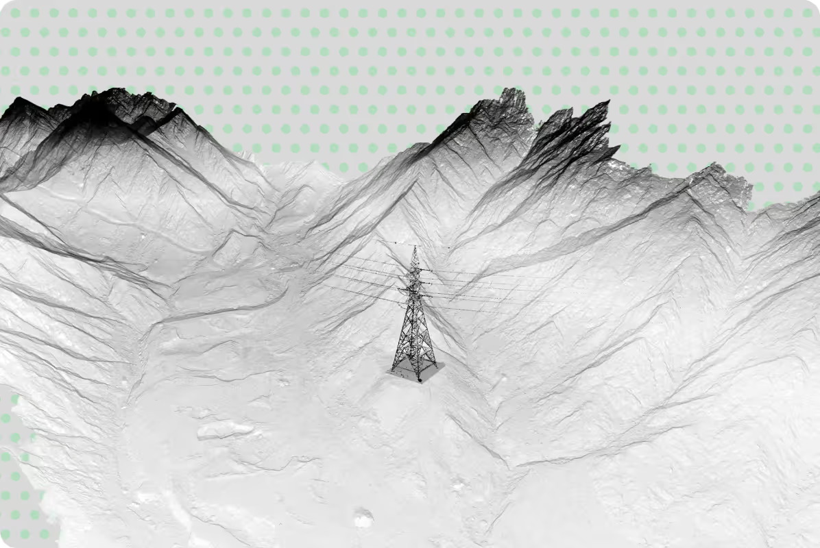
Capture comprehensive geometric data for structural assessment, clearance analysis, and maintenance planning.
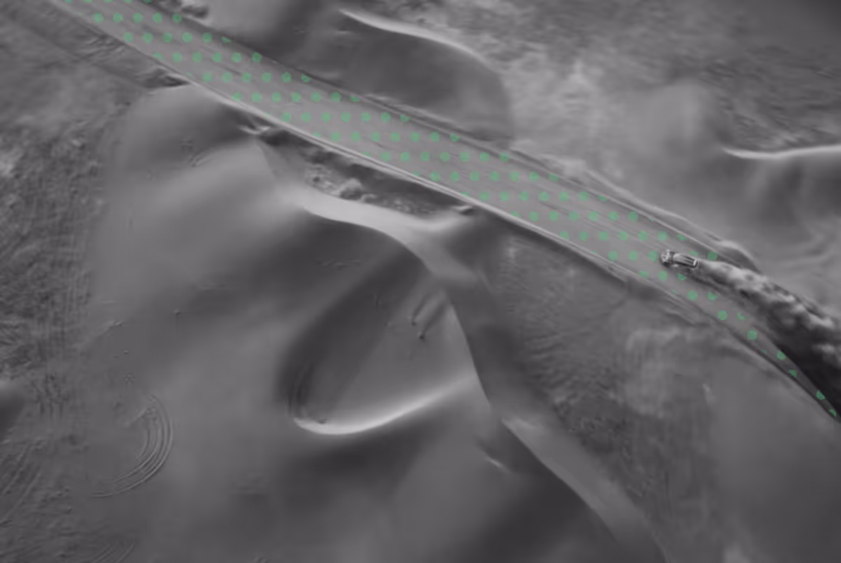
Detailed surveys for alignment verification, clearance analysis, and infrastructure design.
3D scanning of pavements and operational and terminal facilities to support design and maintenance.
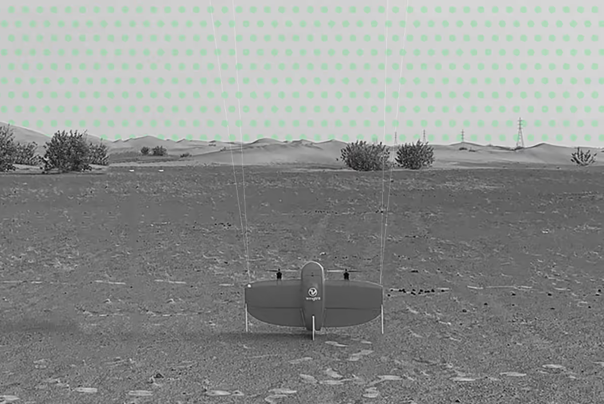
Scanning of tree canopies and forest structures to measure biomass and support environmental studies.
When is
3D Laser Scanning Required?
3D laser scanning is most valuable when projects require reliable data on existing conditions before design, construction, or modification begins.
It is typically used when:
- Accuracy is critical for design, measurement, or verification
- Existing documentation is missing or outdated
- Sites are complex or difficult to measure manually
- Coordination between multiple disciplines is required
- Changes, renovations, or upgrades are planned
- Delays or rework need to be minimised through better data
Our Approach to
3D Laser Scanning
At UPG Surveying, 3D laser scanning is integrated into a structured workflow that ensures data is not only captured efficiently but also delivered in a usable format.
Our process includes:
- We define the required level of detail, accuracy, and outputs based on your project requirements and intended use of the data
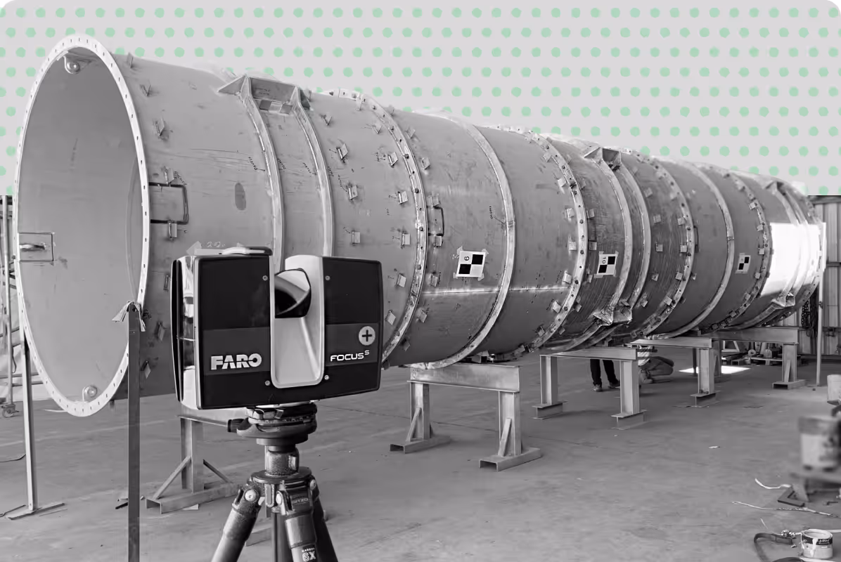
- High-resolution 3D laser scanning is carried out to capture complete site geometry, including buildings and complex environments
- Point cloud survey data is cleaned, aligned, and verified to ensure accuracy and consistency
- We generate 2D drawings, BIM models, and 3D documentation from laser scanning and LiDAR data
- Final deliverables are checked and provided in formats ready for immediate use by project teams
Important note:
Depending on project requirements, 3D laser scanning can be combined with topographic surveys, GIS mapping, and photogrammetry to provide a more complete understanding of a site.
Why Choose UPG Surveys for 3D Laser Scanning?
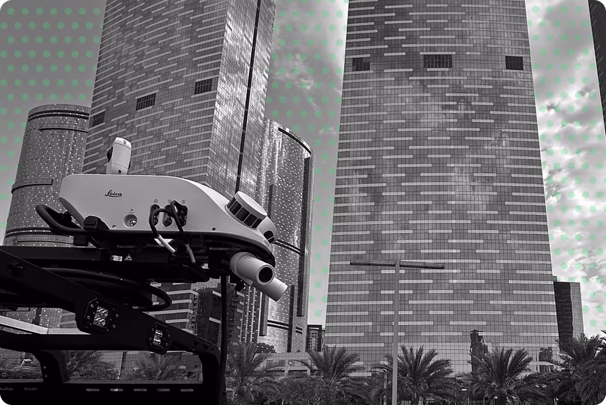
Advanced Terrestrial & LiDAR Scanning
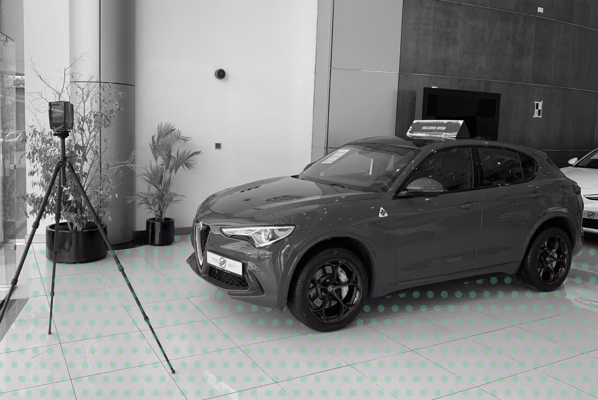
We provide terrestrial laser scanning and LiDAR scanning services to capture accurate data for buildings, infrastructure, and complex environments.
Efficient Building Scanning & Data Capture
Our 3D laser scanning and building scanning approach enables fast, non-intrusive data collection, even in active or restricted project areas.
Accurate Point Clouds & 3D Documentation
We deliver high-quality point cloud surveys and clear 3D documentation, supporting design, coordination, and project decision-making.
Deliverables for Your Workflow
We deliver accurate outputs from our 3D laser scanning and LiDAR scanning services, tailored to your project requirements. From raw data capture to fully processed models, our team ensures clean, structured, and usable deliverables for design, construction, and analysis:
.png)
Ready to Digitally Capture Your Site?