Topographic Survey Services
Topographic surveys provide a clear understanding of how a site actually exists on the ground, capturing terrain, levels, and all visible features.
This information gives project teams a reliable base for planning, design, and construction, helping reduce uncertainty early in the project.

What is a Topographic
Survey?
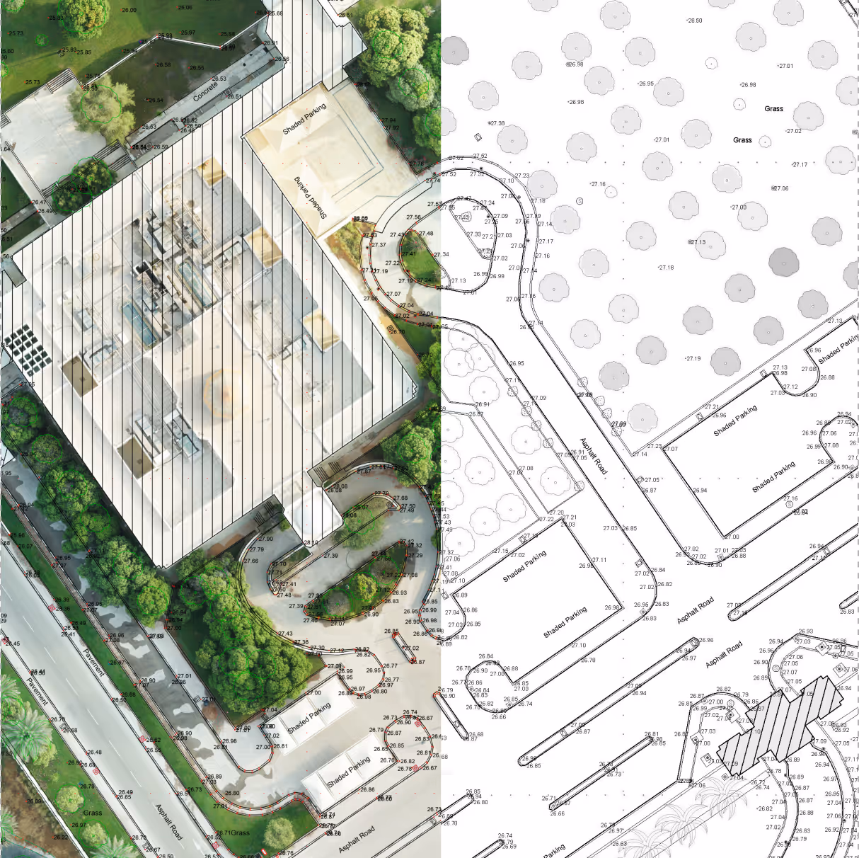
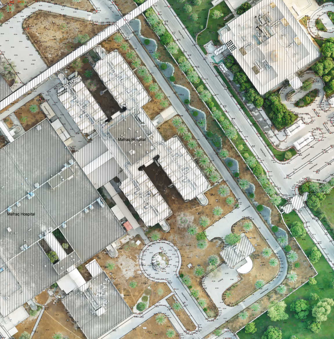
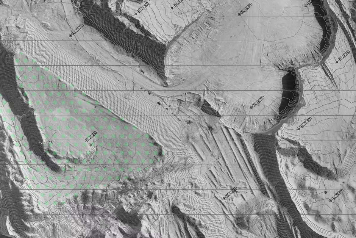
A topographic survey records the physical characteristics of a site, including ground levels, surface features, and key elements that influence design and construction.
It combines measurements of elevation and position to describe how the land changes across an area, creating a structured dataset that can be used for drawings, models, and analysis.
Topographic surveys support a wide range of applications across different industries and project types, including:
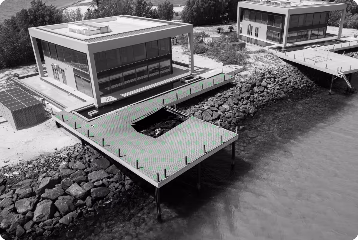
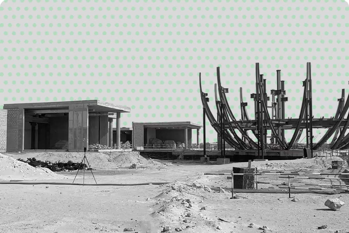
Accurate topographic survey data to support foundations, drainage design, and structural layout planning.
Elevation models and site mapping to support landform design, grading, and irrigation planning.
Precise site mapping for roads, utilities, drainage systems, and civil engineering projects.
Topographic and land survey data to support large-scale developments and long-term planning.
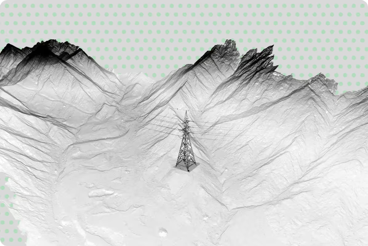
Topographic survey profiles to support route alignment, pylon positioning, and corridor analysis.
Terrain analysis and site mapping to support pipeline routing, facility siting, and environmental compliance.
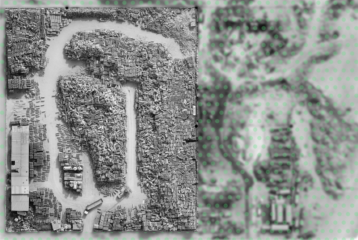
Topographic surveys and volume calculations for fill management, capacity tracking, and reporting.
Precision site mapping for fairway contouring, drainage planning, and course management.
Terrain and vegetation mapping to support irrigation design, land management, and precision farming.
When is a
Topographic Survey Required?
Topographic surveys are typically carried out at the early stages of a project, when understanding site conditions is essential for informed decision-making.
They are commonly required for:
- Site planning and feasibility studies
- Engineering design and infrastructure projects
- Construction planning and coordination
- Redevelopment and refurbishment works
- Environmental and land assessment
Our Approach to
Site Mapping
At UPG Surveying, we combine field data capture with structured processing to ensure the information delivered is clear, reliable, and ready for use.
Our workflow includes:
- Accurate on-site data collection using modern survey equipment
- Processing and validation of survey data
- Preparation of drawings and digital models
- Delivery in formats suitable for design, analysis, and reporting
Why Choose UPG for Topographic Survey Services
Project-Specific Survey Approach
We tailor each topographic survey to the project scope, ensuring accurate site mapping that reflects real site conditions and supports design and construction requirements.
Flexible Support Across Project Stages
From early planning to construction, our land survey services adapt to project timelines, site constraints, and evolving requirements.
Reliable Data for Design and Construction
We deliver accurate topographic survey data in formats ready for CAD, BIM, and GIS, enabling efficient coordination across project teams.
Deliverables for Your Workflow
Our topographic survey deliverables are tailored to your project scope, required level of detail and intended use. We carry out fieldwork in accordance with industry standards and process the collected data into accurate, project-ready outputs.


.png)


Power your project with reliable spatial data