Environmental Studies & Surveys
Geospatial insight for environmental studies, supporting habitat mapping, biodiversity assessment, ecosystem health analysis, and sustainable environmental management in Abu Dhabi and across the UAE.

What Are Environmental Surveys?
Environmental surveys combine geospatial data, field data collection, and analytical modelling to understand and assess natural environments.
They are used to map habitats, evaluate biodiversity, monitor ecosystem health, and support environmental impact assessments (EIA) for projects across Abu Dhabi and the UAE.
At UPG Surveying, environmental surveys provide the baseline and ongoing data needed for conservation, restoration, and sustainable development.
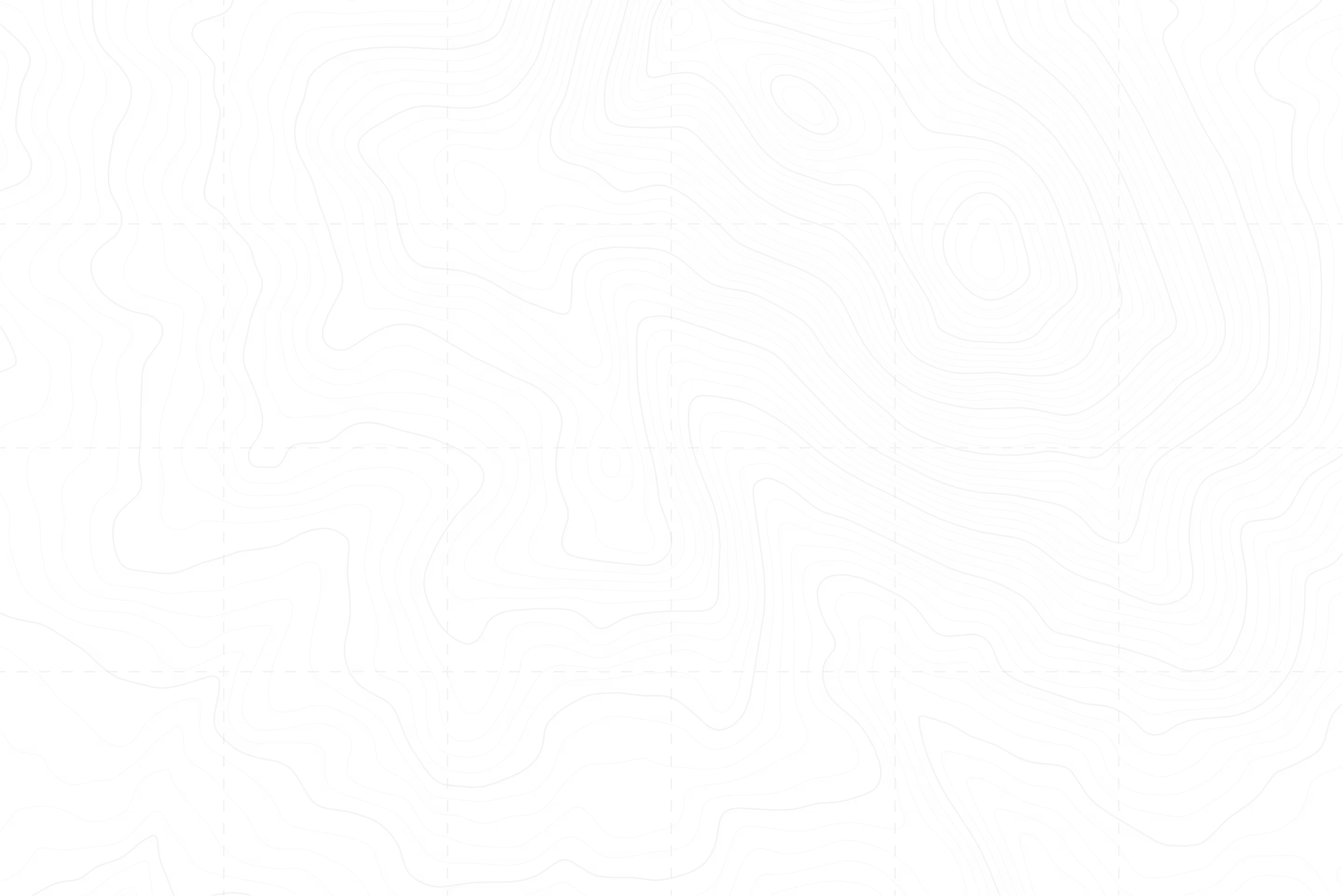
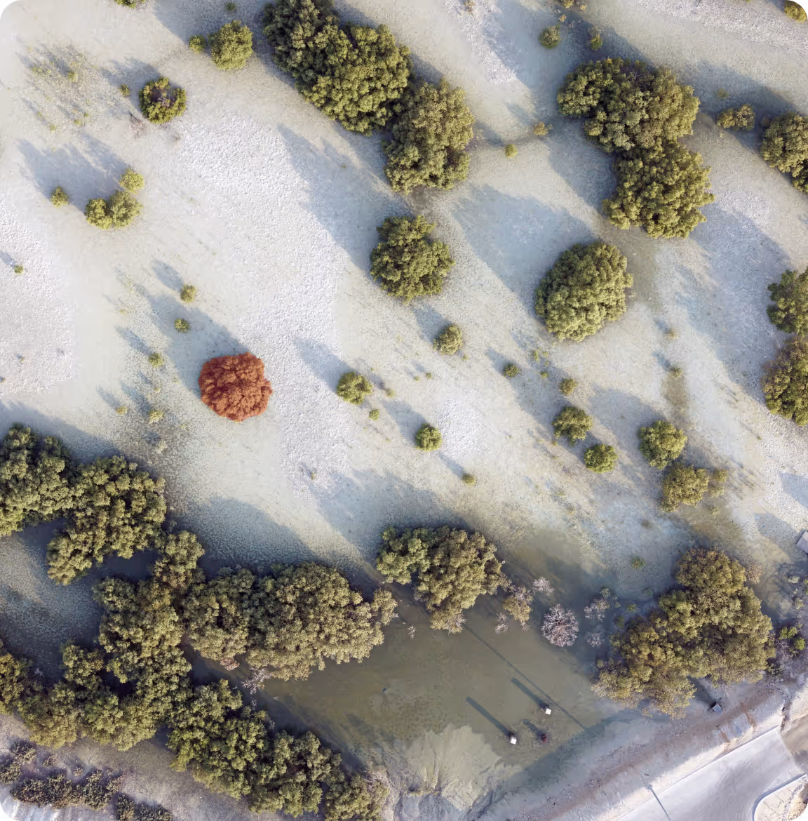
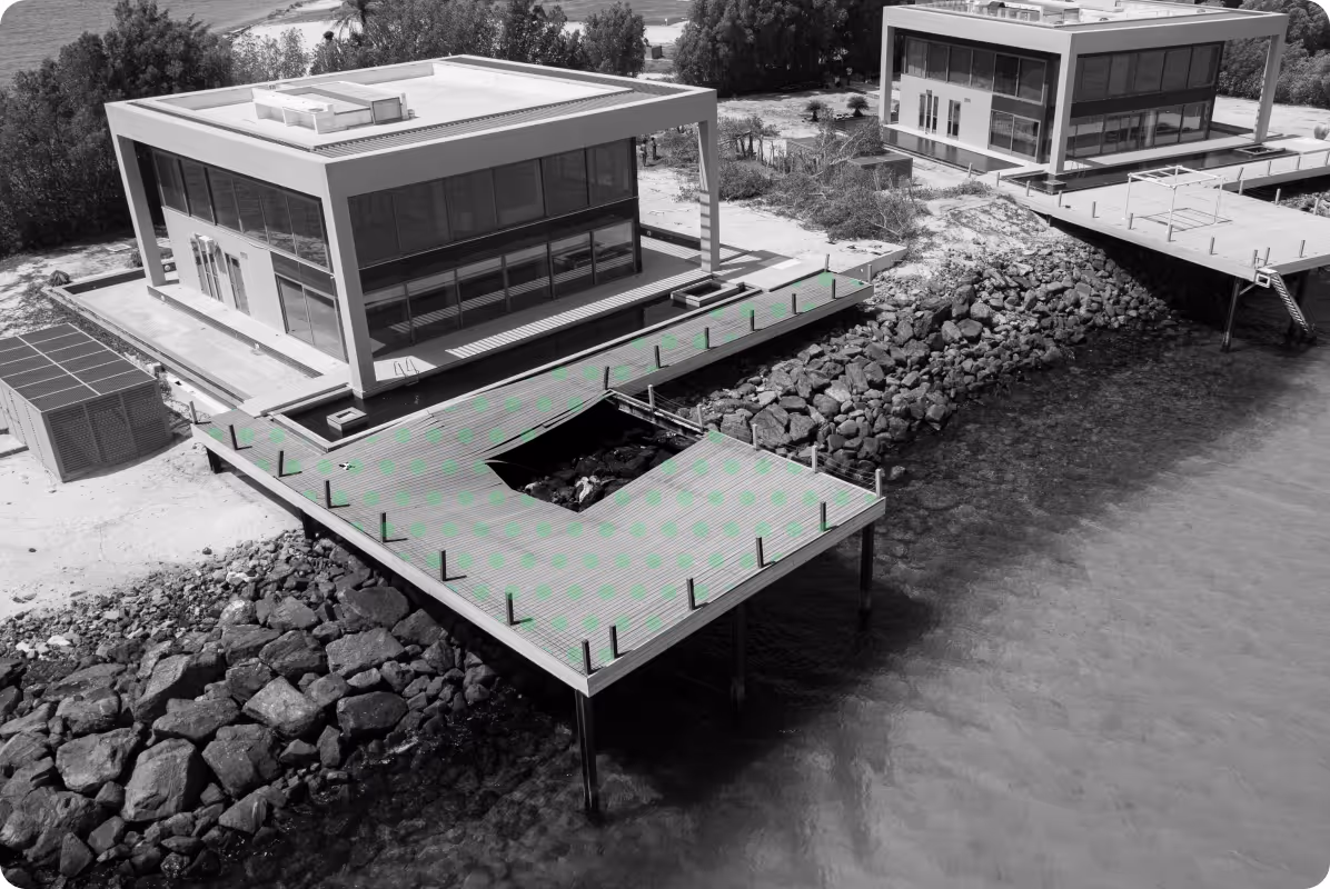
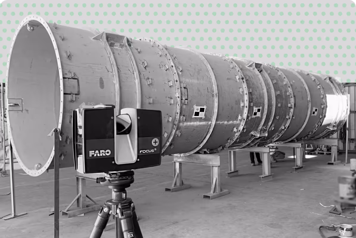
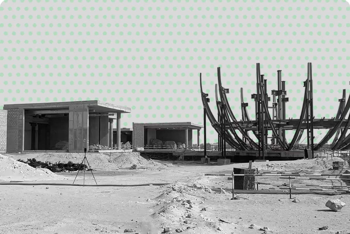
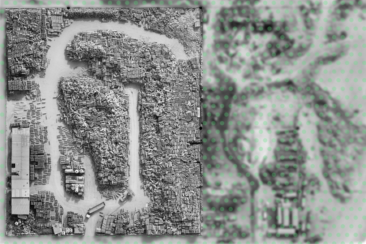
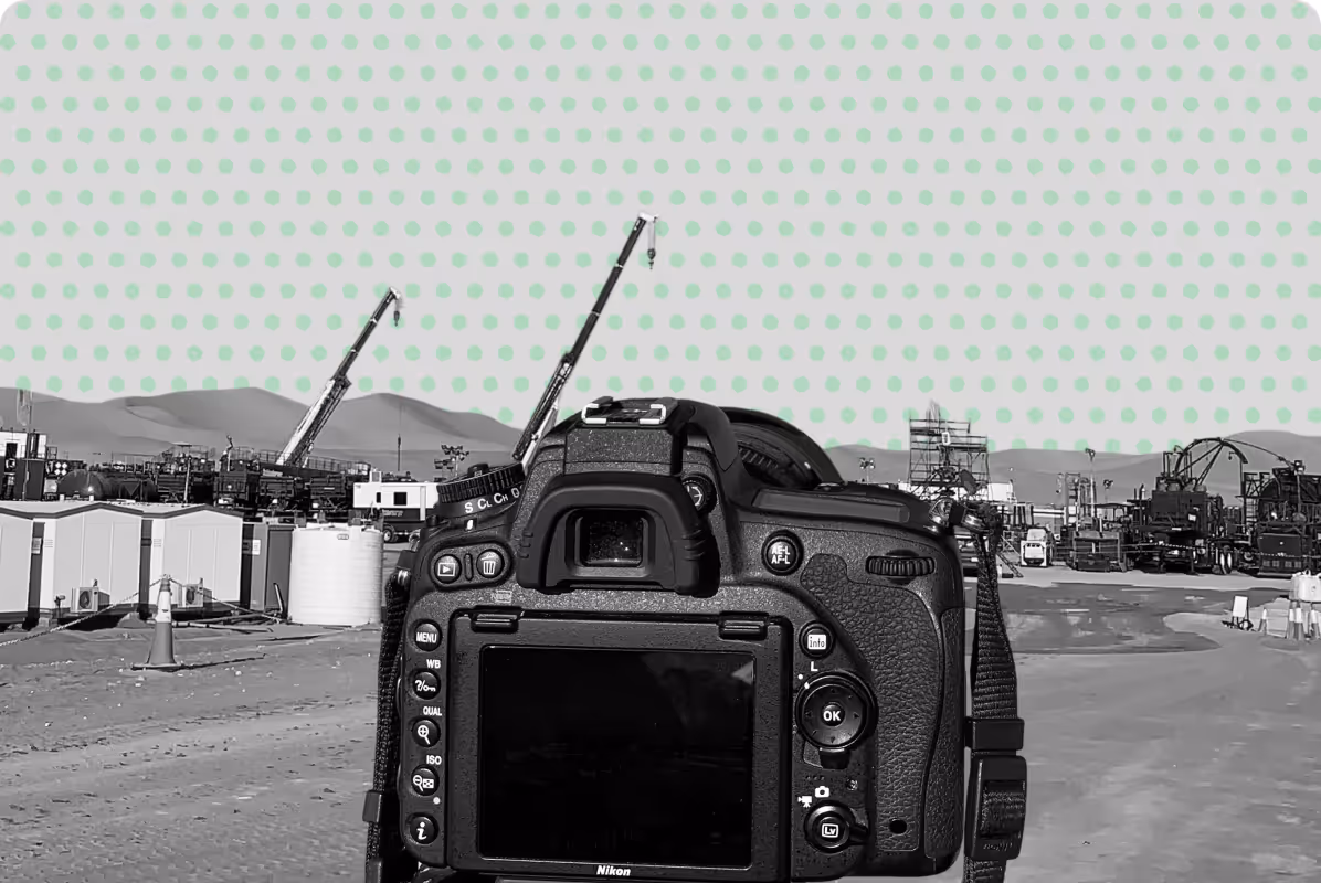
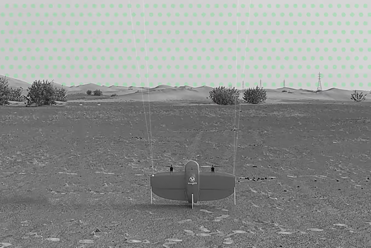
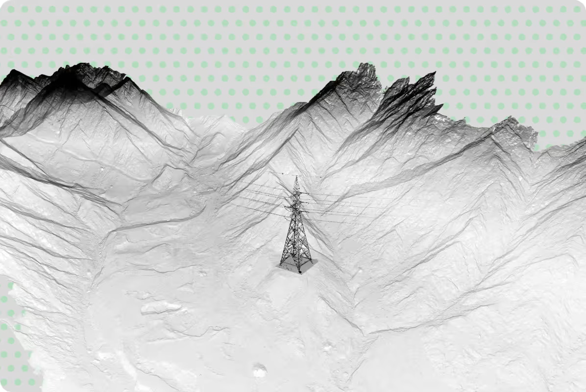
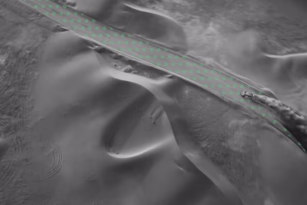
Using tools such as photogrammetry, LiDAR, and multispectral imaging, we capture high-resolution environmental data across large and often inaccessible areas.
Where required, we apply AI-based analysis to identify key features such as vegetation health, saplings, and land cover, and integrate them into GIS platforms for further analysis.
Whether mapping sensitive habitats, modelling flood risk, or tracking environmental change, environmental surveys provide reliable data to support informed project decisions.
Depending on project objectives, environmental surveys may be applied across the following areas:
Identify, classify, and map vegetation types and ecological zones for conservation and planning.
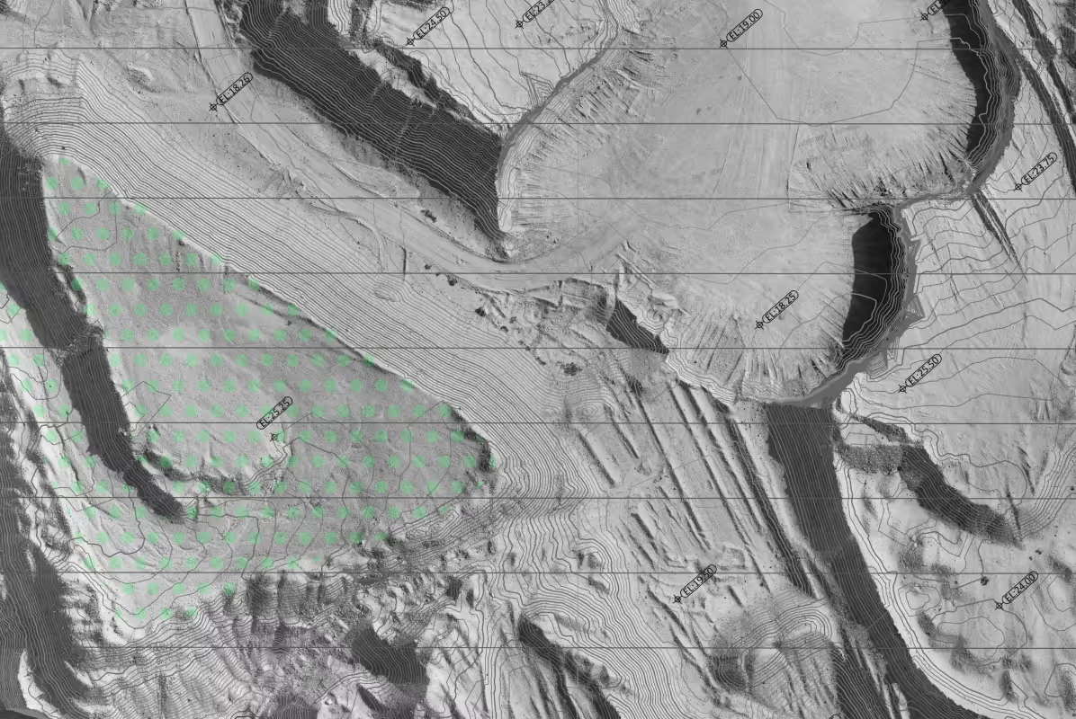
Model surface water flow and flood risk to support mitigation and infrastructure design.
Assess terrain changes and soil stability over time to guide land management.
Quantify potential effects of development projects on ecosystems and natural resources.
Monitor ecosystem recovery and evaluate restoration outcomes over time.
When Is an Environmental Survey Required?
Environmental surveys are typically required at different stages of a project to understand site conditions, assess potential environmental impact, and support planning and approvals.
They are commonly needed when:
- Planning new developments. To understand existing environmental conditions
before design begins.
- Supporting Environmental Impact Assessments (EIA). To provide baseline data for regulatory approvals and environmental studies.
- Working in environmentally sensitive areas. Such as coastal zones, protected habitats, or areas with ecological value.
- Designing infrastructure and managing flood risk. To analyse terrain, drainage, and watershed behaviour.
- Monitoring environmental changes over time. To track vegetation, land use, and ecosystem health during or after project execution.
- Supporting rehabilitation and conservation projects. To assess site conditions and measure progress over time.
Environmental surveys provide the data needed to make informed decisions, reduce risk, and support responsible project development.
Our Approach to Environmental Surveys
At UPG Surveying, we combine environmental data capture with structured analysis to deliver clear, reliable data ready for planning, assessment, and reporting.
Our workflow includes:
- Environmental data capture using drone surveys, LiDAR, photogrammetry, and field surveys
- Processing and analysis within GIS platforms
- Environmental mapping and feature identification (vegetation, land cover, terrain)
- Delivery in formats suitable for environmental impact assessments (EIA), mapping, and reporting
Why Choose UPG Surveying for Environmental Studies
Clear Environmental Data for Planning and Assessment
We deliver structured geospatial and environmental survey data that helps teams understand site conditions, assess impact, and plan with confidence.
Efficient Data Capture Across Large and Complex Areas
From open landscapes to restricted or sensitive environments, we capture high-resolution data quickly and consistently using advanced survey technologies.
Data Ready for GIS, EIA and Reporting
Our outputs are prepared for direct use in GIS platforms, environmental impact assessments (EIA), and project reporting workflows.
Experience Across Diverse Environments in the UAE
With over 15 years in Abu Dhabi, we support projects across coastal, desert, and urban environments, adapting our approach to site conditions and project requirements.
Deliverables for Your Workflow
UPG Surveying takes your scope, with the level of detail and desired outputs, does the fieldwork in accordance with industry standards and processes your data, analysing, cleaning and converting it into the deliverables you need:
.png)


Monitor Environmental Change with Spatial Data