Drone Aerial Mapping Services
Fast, reliable aerial data capture that helps teams understand site conditions, monitor progress, and work with confidence from the start.
What is Drone Aerial Mapping?
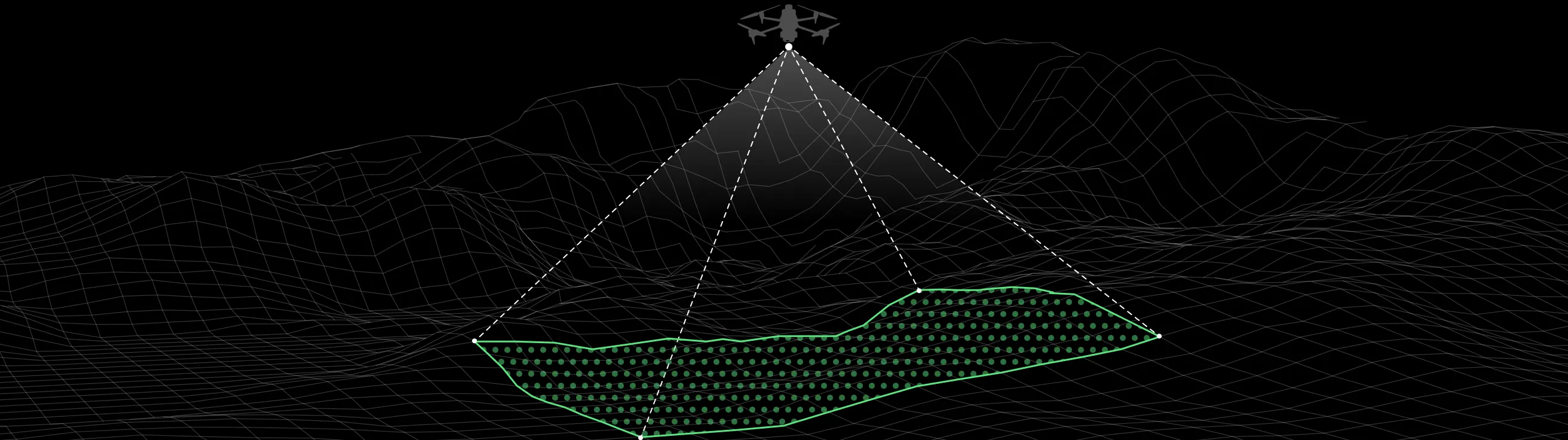
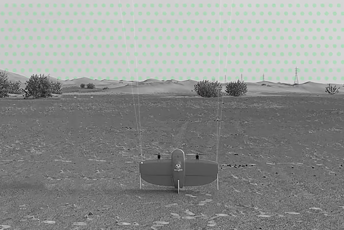
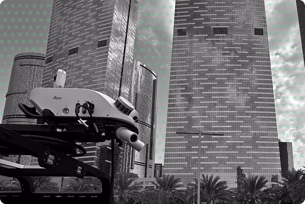
Drone aerial mapping is a surveying method that captures high-resolution imagery and spatial data from above using UAVs (unmanned aerial vehicles).
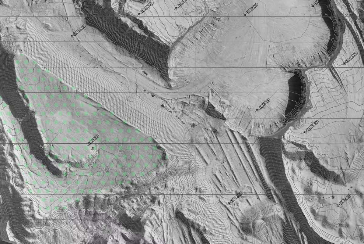
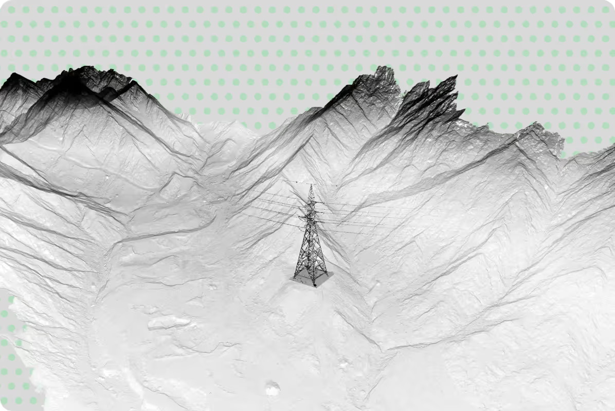
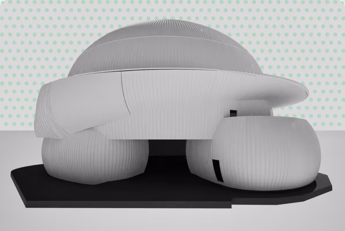
Using photogrammetry and advanced sensors, this data is processed into accurate, geo-referenced outputs such as orthomosaic maps, digital surface models, and 3D site models.
It allows project teams to quickly understand large or complex areas with reliable, measurable data that can be integrated into CAD, GIS, and BIM workflows.
Compared to traditional methods, aerial mapping provides faster coverage, consistent accuracy, and a clear visual record of site conditions at a specific point in time.
Drone aerial mapping can support a wide range of industries and project types, including:
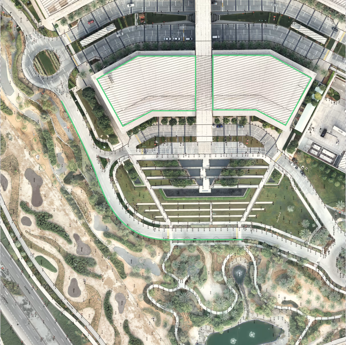
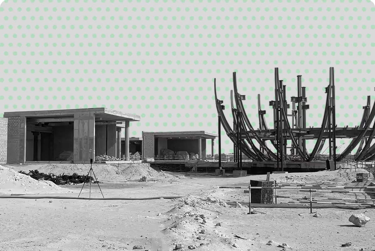
Detailed aerial mapping to support site planning, progress monitoring, and volume measurement.
City-scale mapping and 3D modelling for infrastructure design, zoning, and development control.
Managing land classification, assessing land cover, and evaluating environmental change and sustainability across diverse landscapes — including wetlands, coastlines, and other ecologically sensitive areas.
Multispectral imaging for monitoring plant health and vigour, identifying sapling and mature growth, designing irrigation systems, and assessing resource needs.
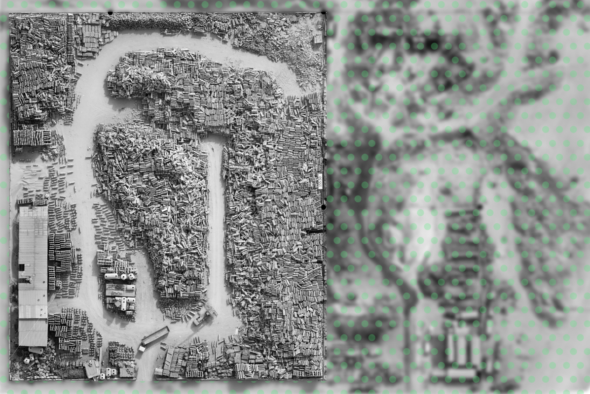
Accurate volumetric surveys for extraction tracking, safety monitoring, and regulatory reporting.
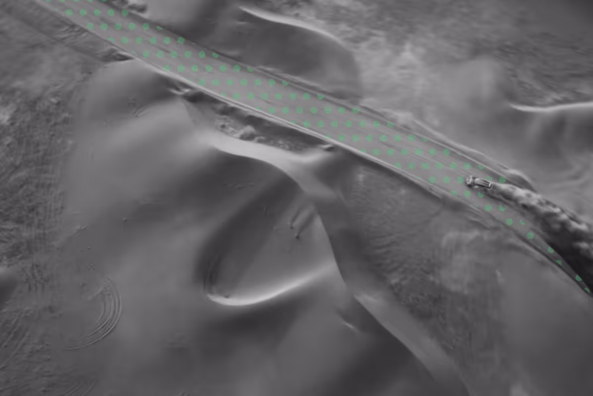
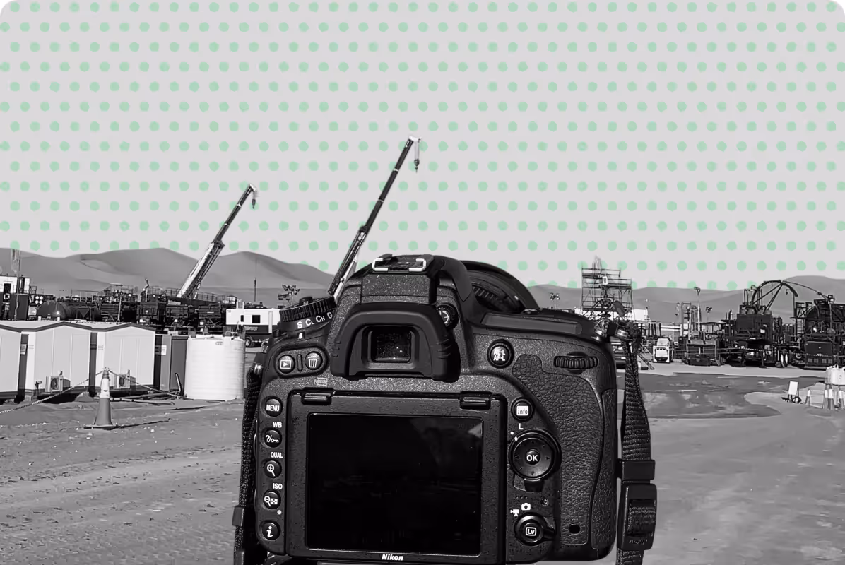
Aerial inspection and mapping of transmission corridors, pipelines, and renewable energy sites for maintenance and planning.
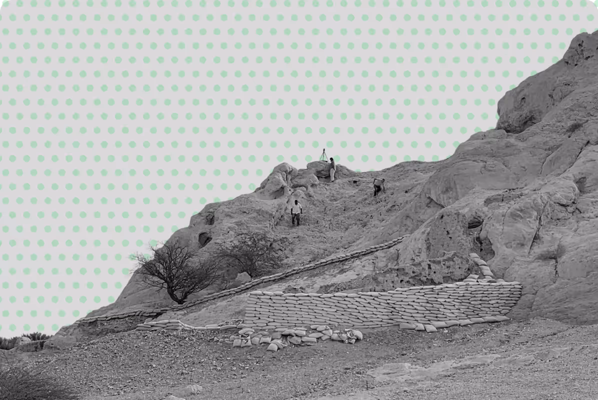
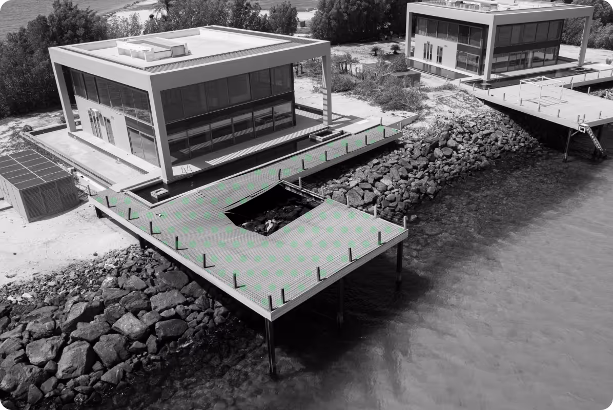
High-resolution mapping and photogrammetry for site documentation and features with minimal disturbance.
Seamless integration of aerial data into GIS platforms for spatial analysis, asset management, and planning support.
When Do You Need Drone Aerial Mapping?
Drone surveys are most effective when speed, coverage, and accessibility are critical.
It is commonly used when:
- You need to map large areas efficiently (infrastructure corridors, developments, coastal zones)
- The site is difficult or unsafe to access on foot
- You require up-to-date site data for planning or design
- You want to track construction progress over time
- You need accurate terrain models for analysis and earthworks
- You require visual documentation for reporting or stakeholdersYou are working on environmental, coastal, or land-use studies
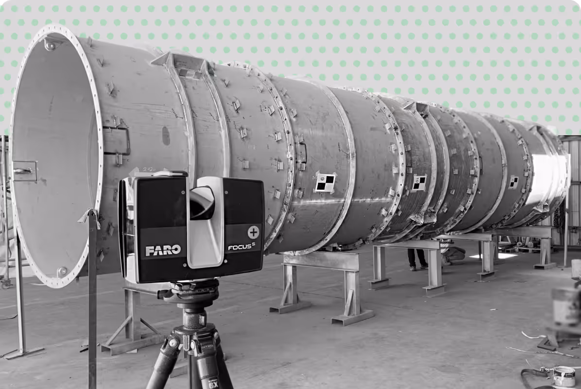
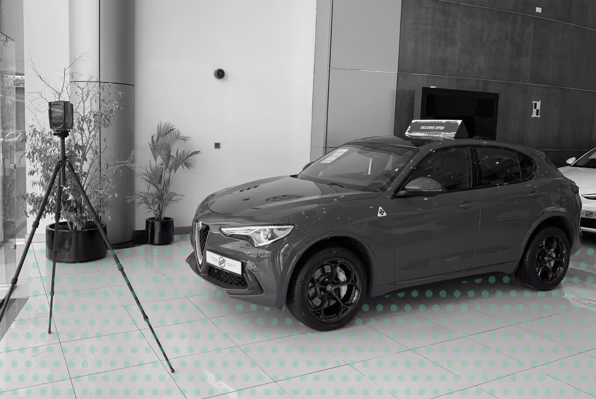
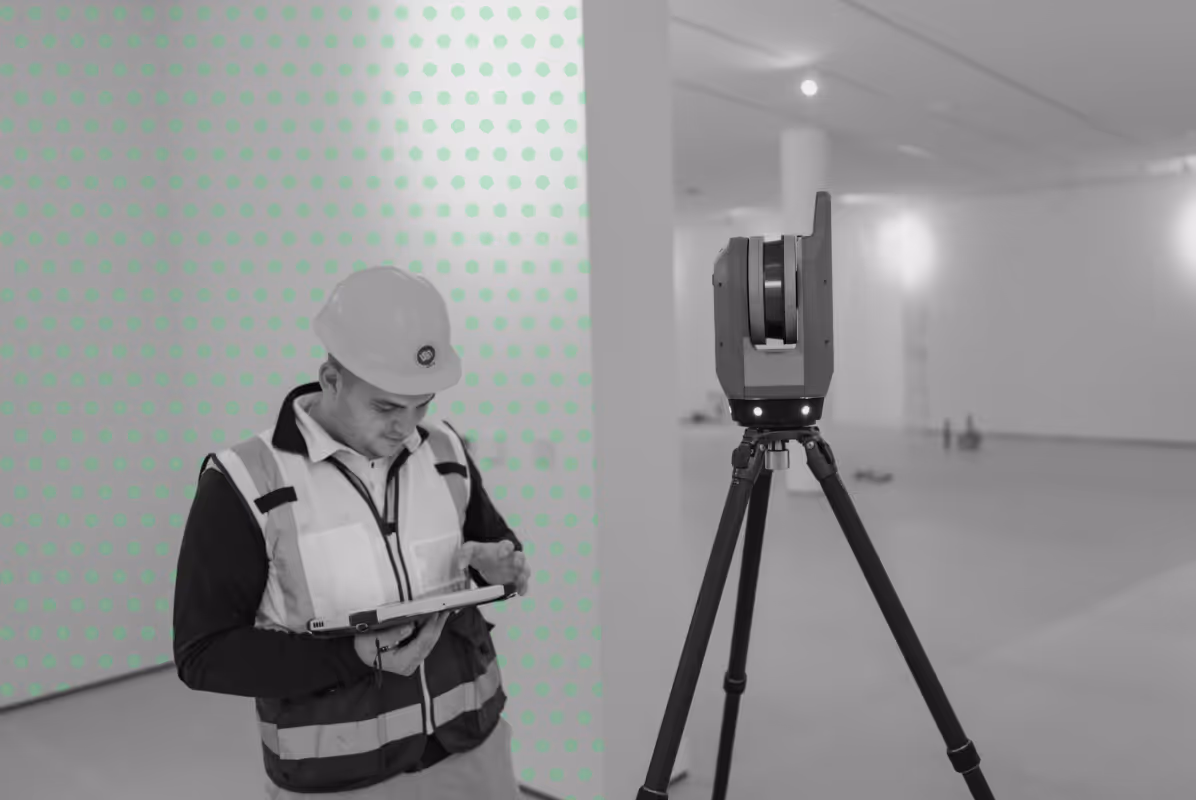
- Drone mapping is often used alongside topographic surveys and laser scanning to provide a complete understanding of the site.
Our Approach to Drone Aerial Mapping
At UPG Surveying, aerial mapping is carried out through a defined workflow that ensures reliable data capture, consistent processing, and outputs that can be used directly by project teams.
Our workflow includes:
- Planned aerial data capture based on site conditions and required level of detail
- Integration of ground control where required to ensure accurate geo-referencing
- Processing of imagery using photogrammetry to generate maps and 3D models
- Validation and quality checks of all spatial data outputs
- Delivery in formats suitable for CAD, GIS, and project workflows
Why Choose UPG Surveying for Aerial Mapping
Survey Accuracy You Can Rely On
We combine aerial data capture with ground control and survey-grade workflows to ensure reliable, geo-referenced results suitable for engineering and design.
Efficient Coverage of Large and Complex Sites
Aerial surveys allow rapid data capture across extensive areas, reducing time on site while maintaining consistent quality — even in difficult or hard-to-access locations.
Data Ready for Your Workflow
All deliverables are structured for direct use in CAD, GIS, and BIM environments, helping your team move from data capture to design and analysis without delays.
Deliverables for Your Workflow
UPG Surveying takes your scope, with the level of detail and desired outputs, does the fieldwork in accordance with industry standards and processes your data, analysing, cleaning and converting it into the deliverables you need:
.png)

Experience your location through aerial insights