Underground Utility Mapping Services
Subsurface utility surveys for safer planning, accurate design, and controlled construction.
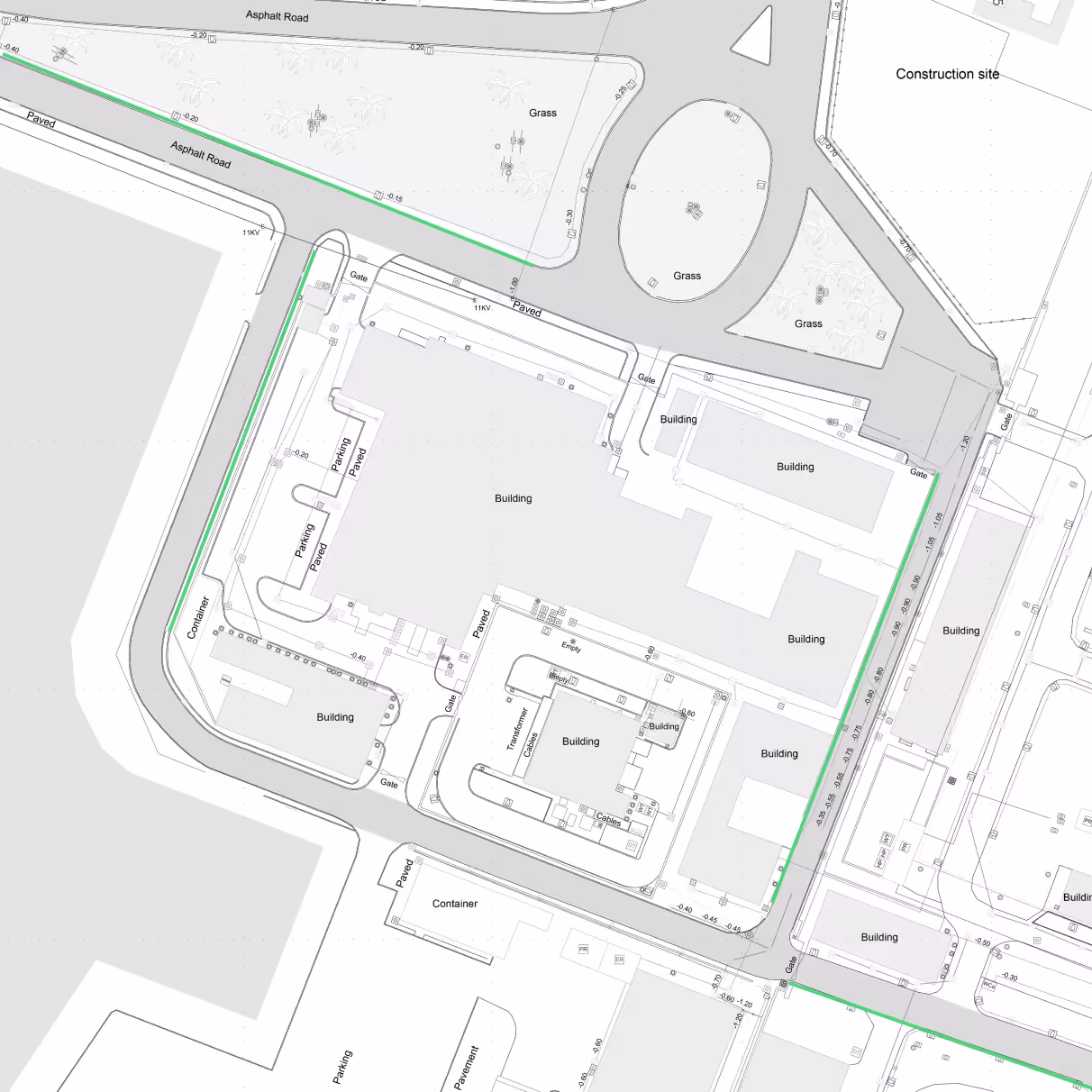
Underground utility mapping identifies and records buried services such as water pipelines, electrical cables, drainage systems, and telecommunications networks.
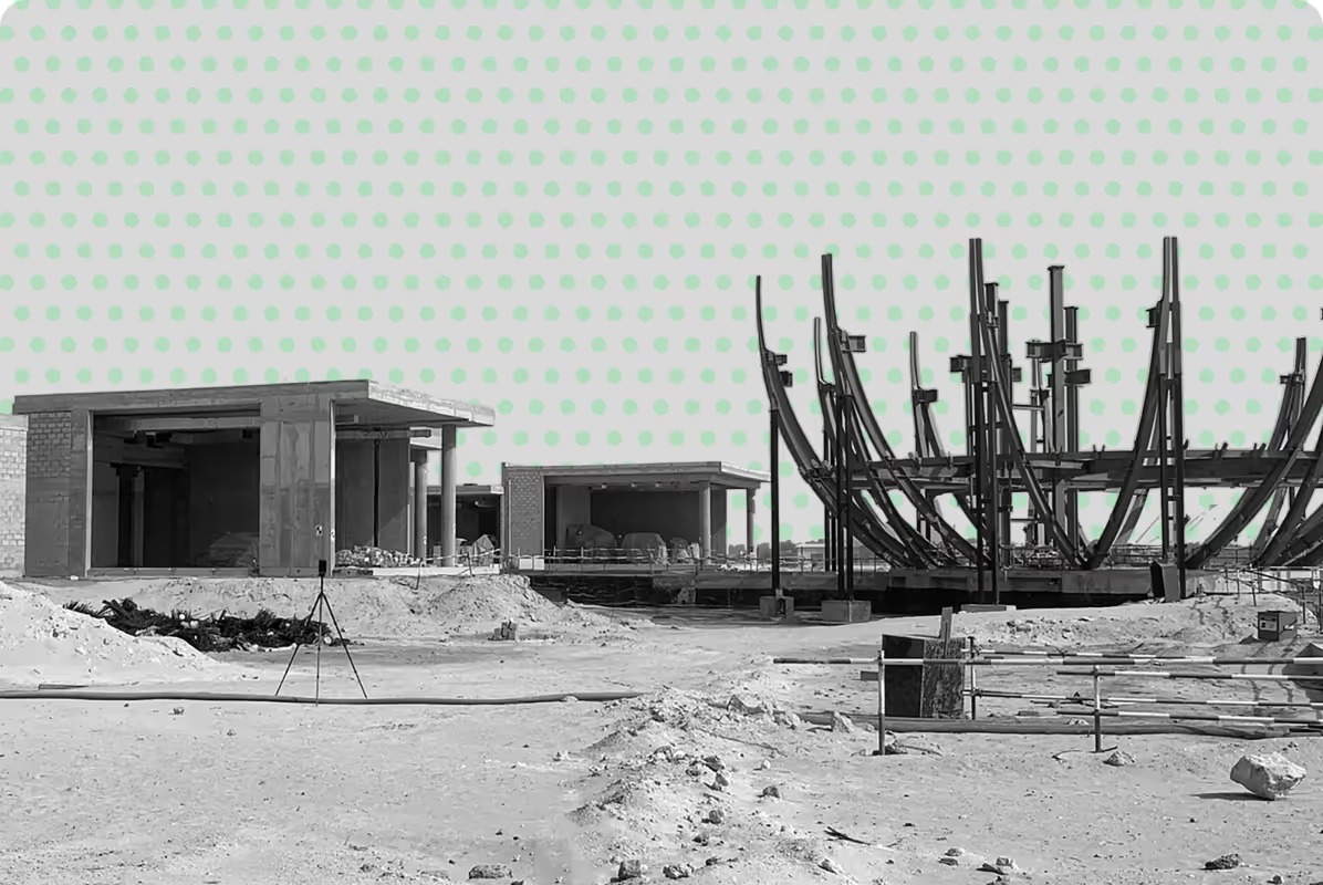
Accurate knowledge of these utilities is essential before excavation or construction begins, helping teams avoid risks, delays, and costly damage.
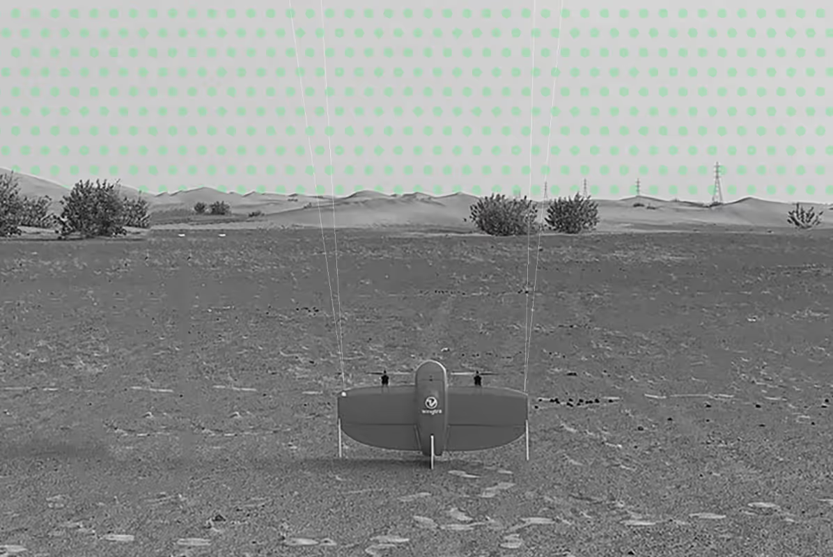
At UPG Surveying, we provide reliable underground utility mapping services across Abu Dhabi and the UAE, delivering clear, structured spatial data to support engineering, infrastructure, and development projects.
What is Underground Utility Mapping?
Underground utility mapping is the process of detecting, locating, and documenting subsurface infrastructure using specialised equipment and survey methods.
This includes identifying:
- Water mains and pipelines
- Electrical and communication cables
- Sewer and drainage systems
- Gas lines and utility corridors
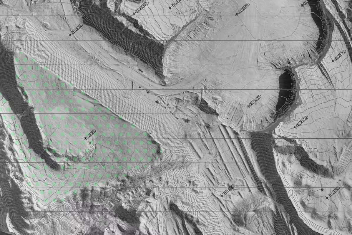
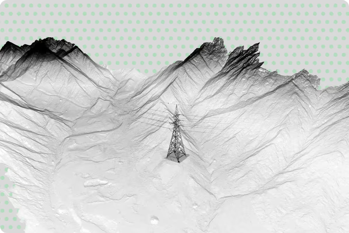
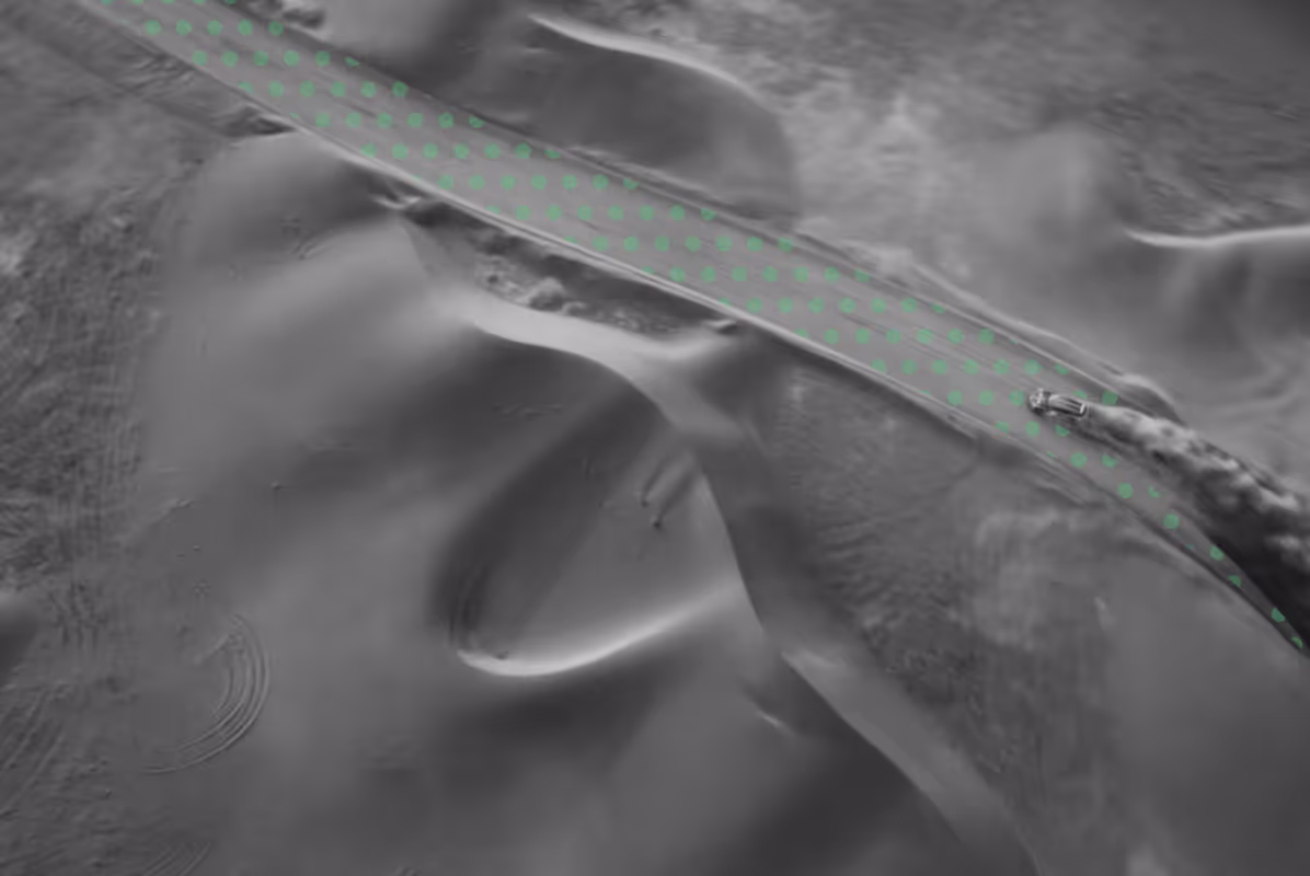
By combining advanced detection technologies such as ground penetrating radar (GPR) and electromagnetic locating with precise surveying, we produce accurate utility maps showing position and depth.
These surveys typically include the identification of key underground utilities such as:
Subsurface mapping to support foundation design, excavation planning to avoid the disruption of services, and construction safety.
Utility detection to guide planting, irrigation layout, and site development.
On-site utility marking and post-construction verification for compliance and record updates.
Geospatial packaging of utility data for integration into GIS platforms and long-term asset management.
When is Underground Utilities Mapping Required?
Underground utility mapping is typically required at the early stages of a project, when understanding subsurface conditions is critical. Having accurate information about existing utilities helps reduce risks, avoid conflicts, and support better planning decisions. It is especially important in areas where buried services are complex, undocumented, or likely to impact design and construction.
You may require underground utility surveys when:
- Planning excavation or construction works
- Designing infrastructure or utilities
- Working in built-up or complex urban environments
- Upgrading or modifying existing assets
- Managing large sites with unknown subsurface conditions
Our Approach to Underground Utilities Mapping
We focus on delivering data that is practical, accurate, and ready to use.
Our workflow includes:
- Site assessment and survey planning
- Utility detection using appropriate technologies
- Survey control and data validation
- Processing and interpretation of subsurface data
- Integration into CAD, GIS, or BIM environments
We tailor each project based on required accuracy levels, site conditions, and project objectives.

Why Choose UPG Surveying for Underground Utilities Mapping
Accurate and Efficient Subsurface Data Capture
We use advanced utility detection and survey methods to capture precise underground data quickly, helping project teams work with reliable information from the start.
Reduced Risk and Project Costs
By clearly identifying buried utilities before construction begins, we help minimise utility strikes, avoid costly rework, and reduce unexpected delays on site.
Clear Utility Mapping and Deliverables
Our surveys provide structured outputs including CAD drawings, GIS datasets, and utility layouts with location and depth information, ready for design and coordination.
Trusted Experience in Abu Dhabi and the UAE
With over 15 years of experience, UPG Surveying supports developers, engineers, and contractors with dependable utility survey data across infrastructure and development projects.
Deliverables for Your Workflow
UPG Surveying takes your scope, with the level of detail and desired outputs, does the fieldwork in accordance with industry standards and processes your data, analysing, cleaning and converting it into the deliverables you need:
.png)


Reveal hidden infrastructure for informed construction