[
Drone Surveys & Aerial Mapping
]
Aerial Photogrammetry
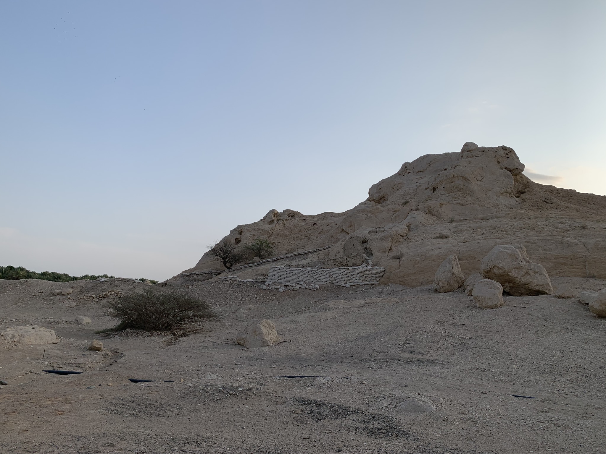
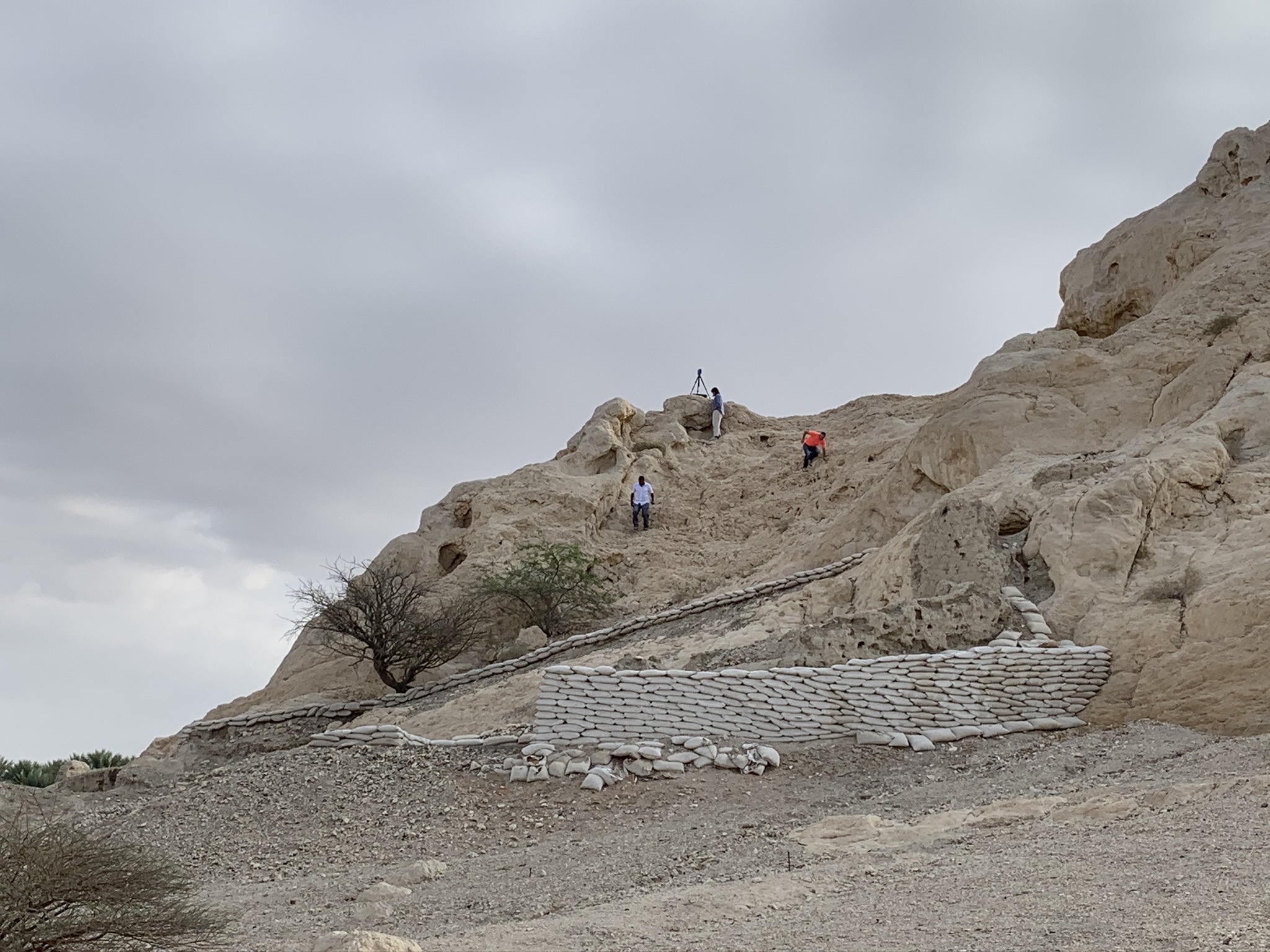
Archeological Site
client
Government agency
PROJECT SCOPE
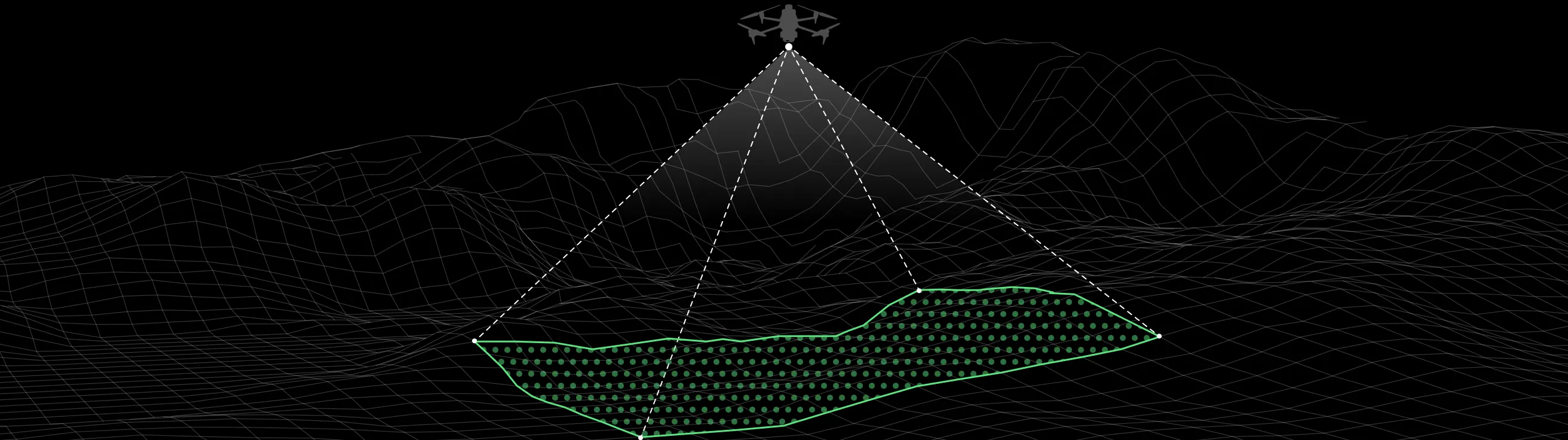
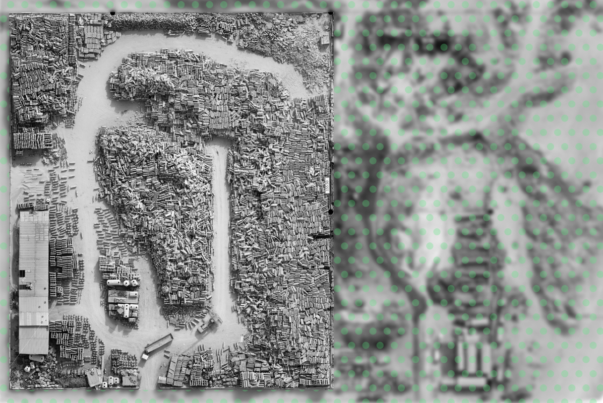
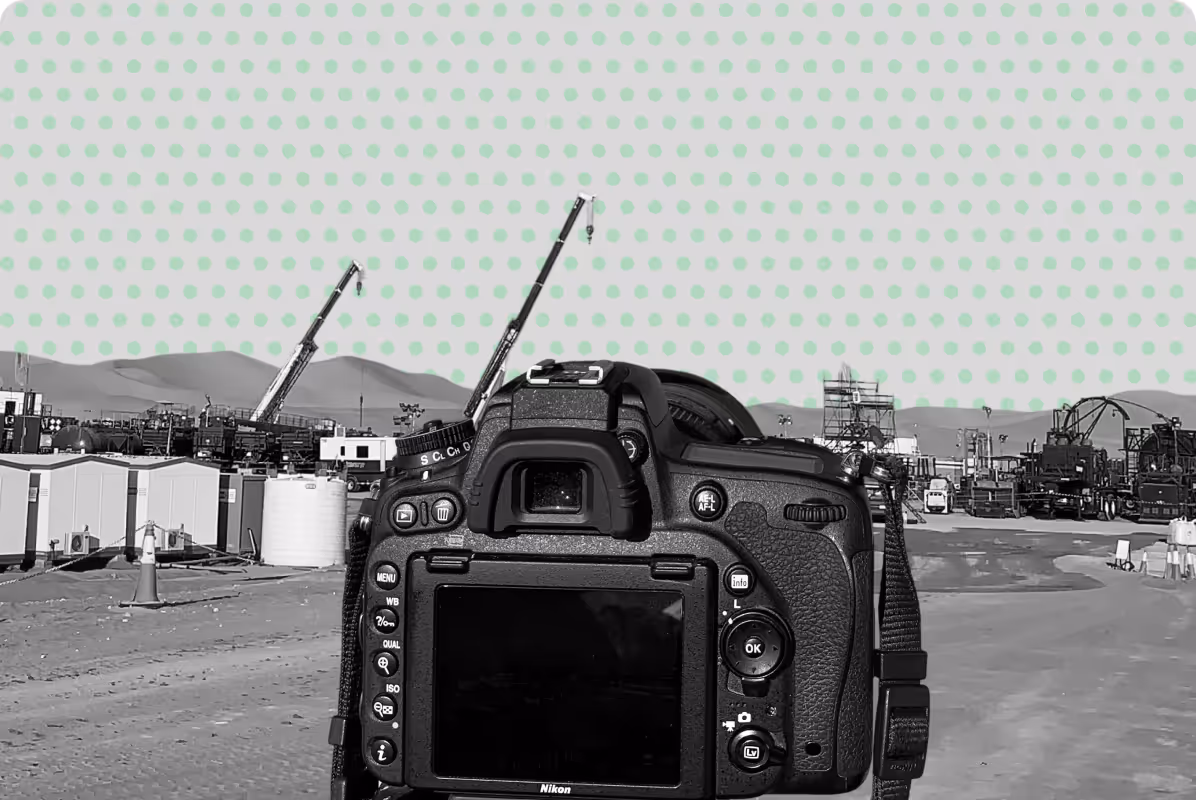
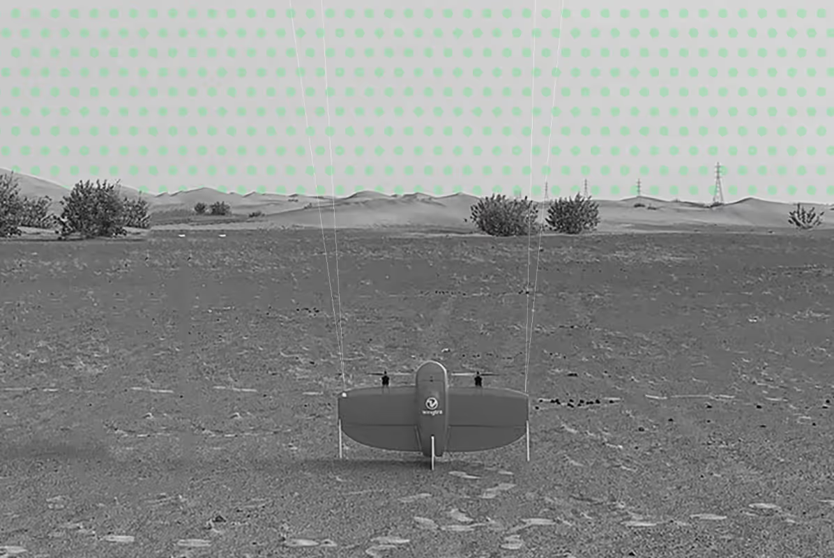
Drone aerial imaging
Year
2018
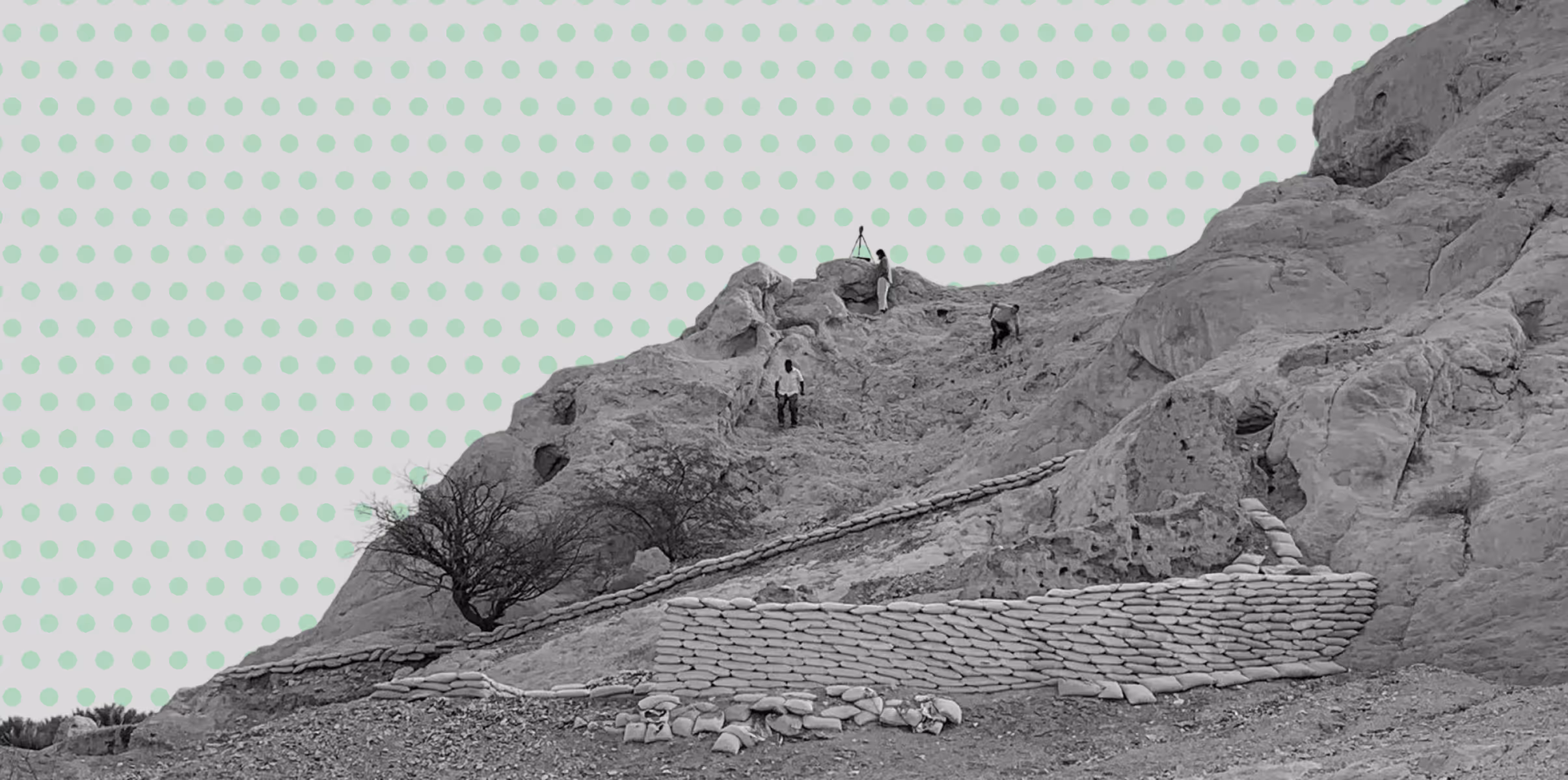
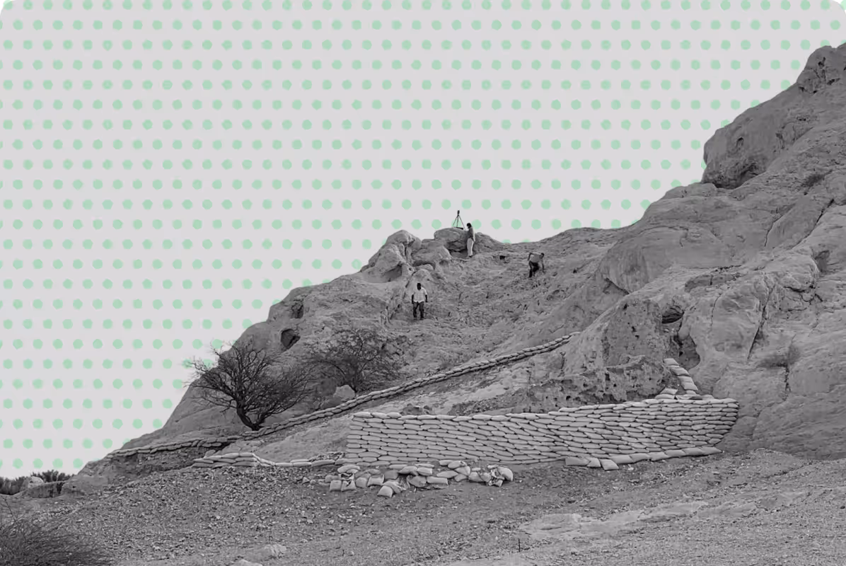
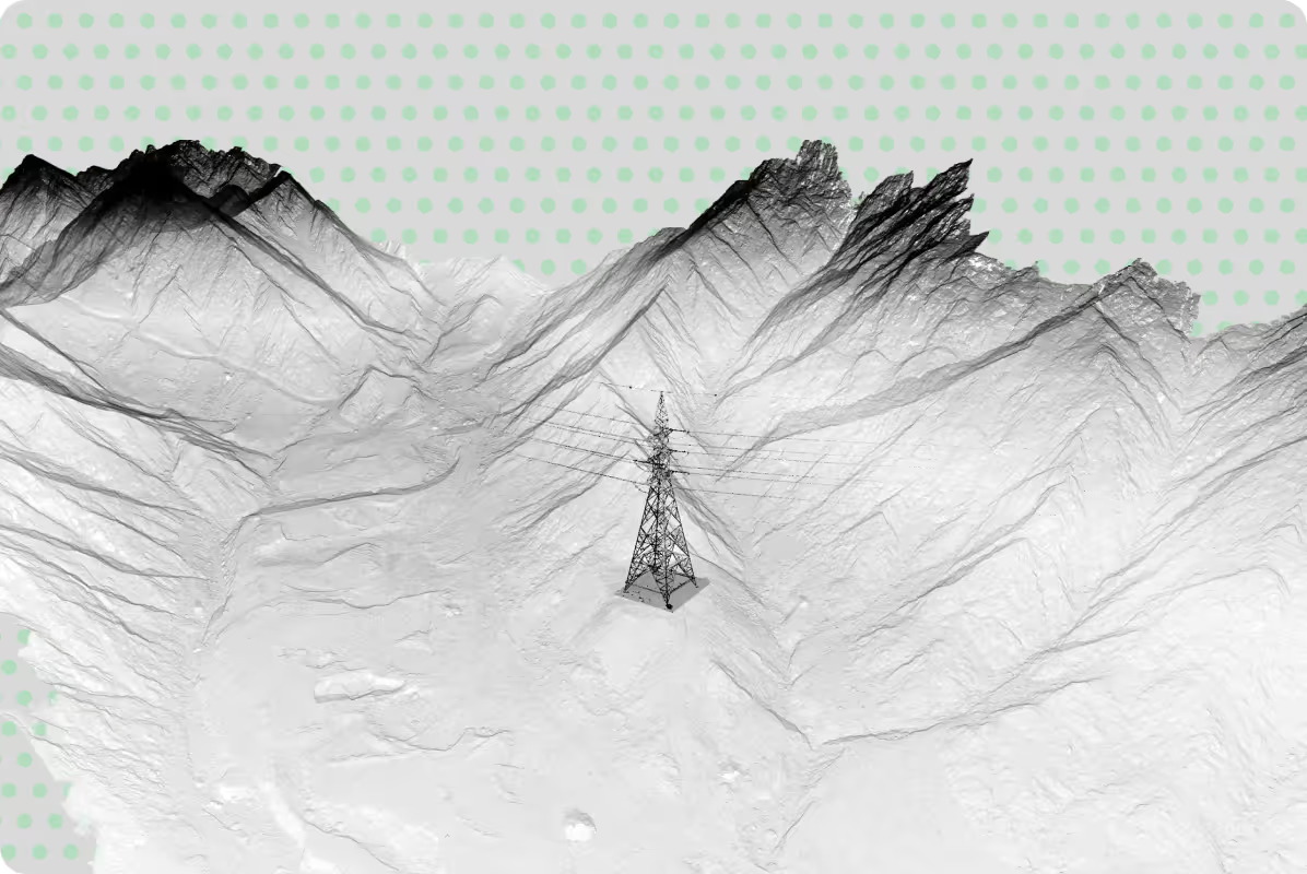
We were invited by a government heritage conservation agency to support a research initiative focused on the Naqfa Fort in Al Ain. Our role was to provide advanced aerial surveying and geospatial documentation to aid ongoing archaeological research and preservation efforts.
Scope of Work
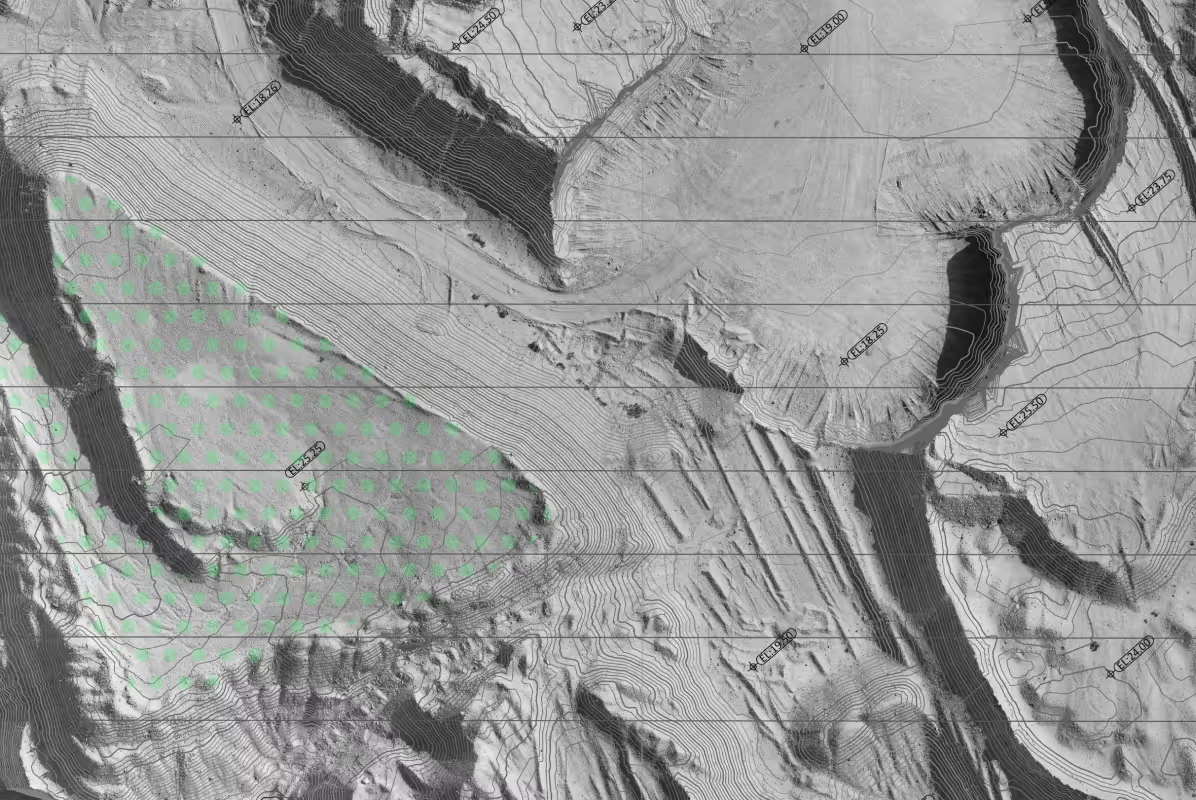
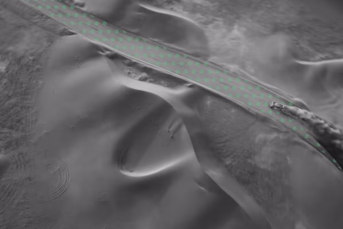
- Conducting drone-based photogrammetry surveys of the fort and its surrounding area
- Producing high-resolution aerial orthoimages for precise spatial representation
- Delivering a geolocated dataset suitable for archaeological analysis, documentation, and further research
The resulting dataset enabled researchers to accurately study and document the site, supporting both conservation planning and heritage research initiatives. Our work provided a reliable, modern geospatial foundation for understanding the historical structure and its context.

[
CASE STUDIES
]
Projects That Speak
for Themselves
for Themselves
.png)


Discover next-level solutions with UPG Surveying