A Trusted Partner for Tailored Solutions
From heritage sites to modern buildings and infrastructure, we deliver cutting-edge surveying solutions across the UAE and the Middle East.

[
Solutions
]
Solutions That Speak
for Themselves
for Themselves
[
1
]
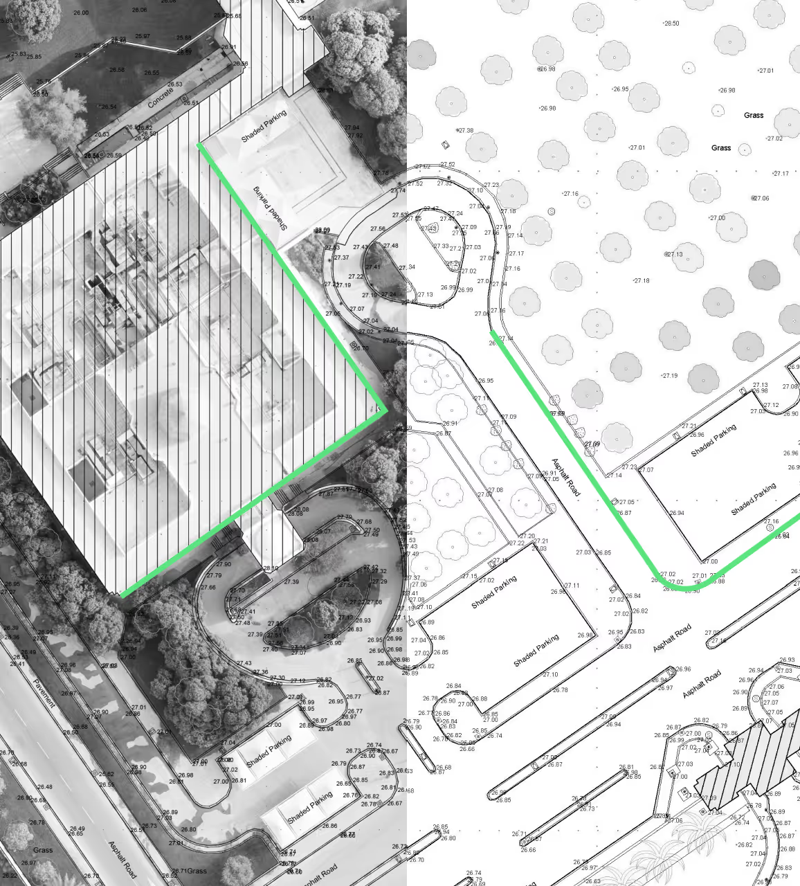
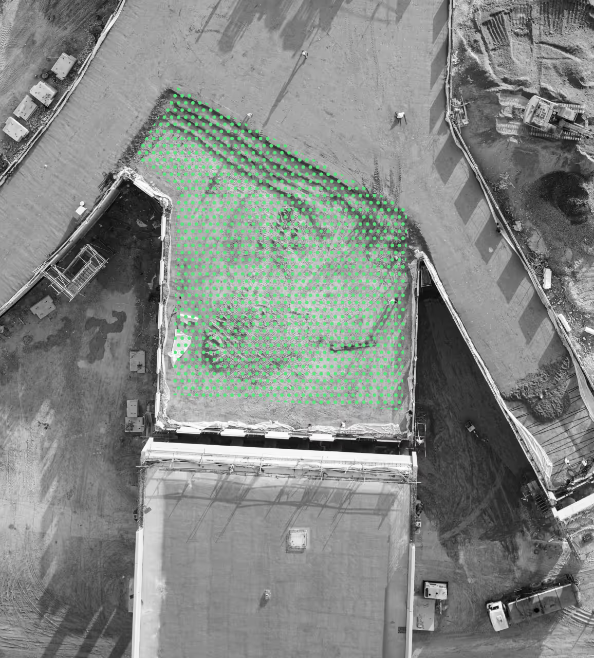
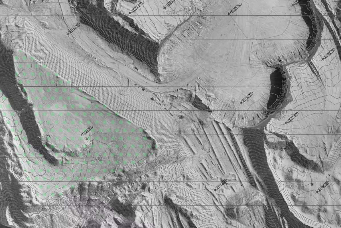
Topographical mapping
Accurate ground-level measurements for clear site understanding
[
2
]
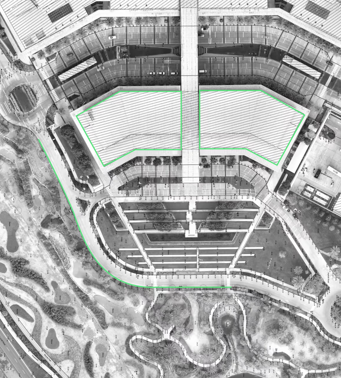
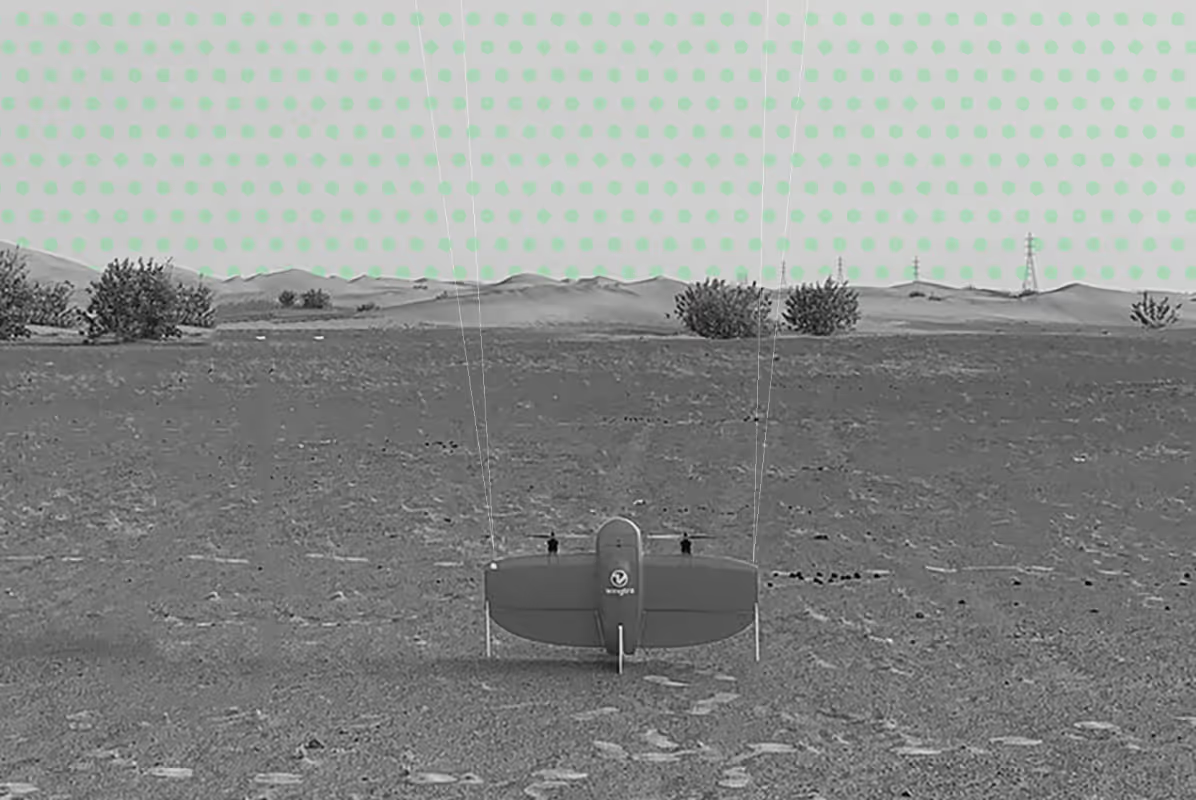
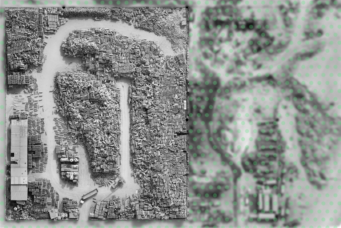
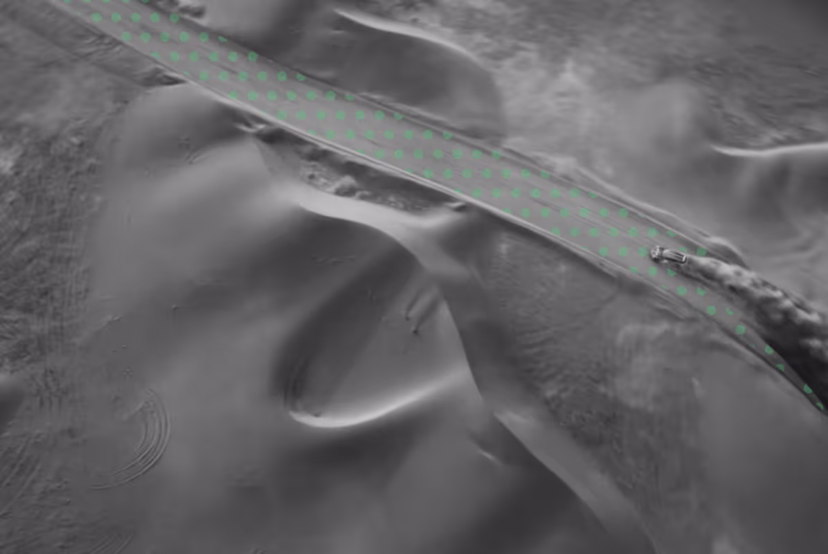
Drone Aerial Mapping
High‑resolution aerial data captured quickly and safely
[
3
]
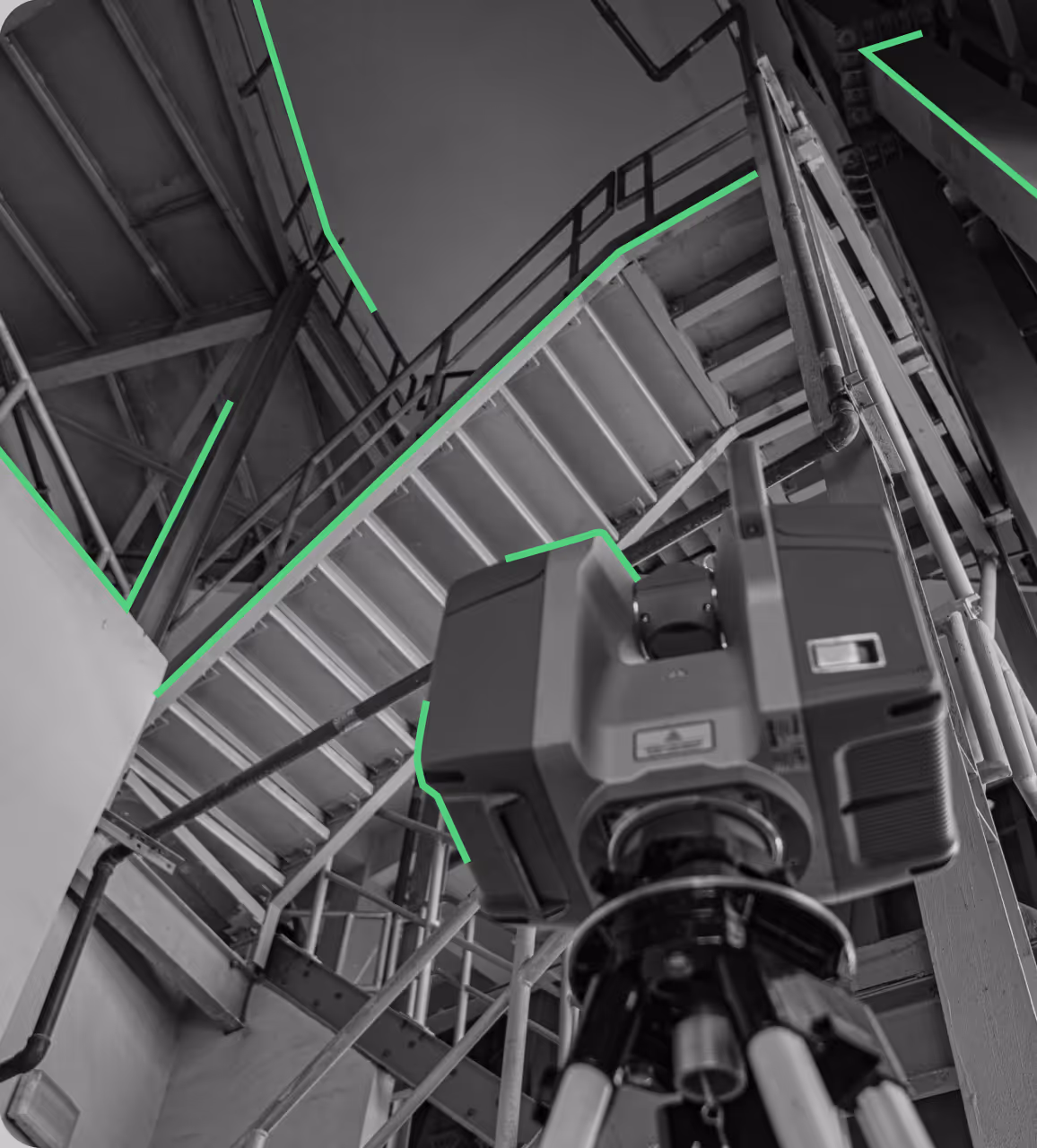
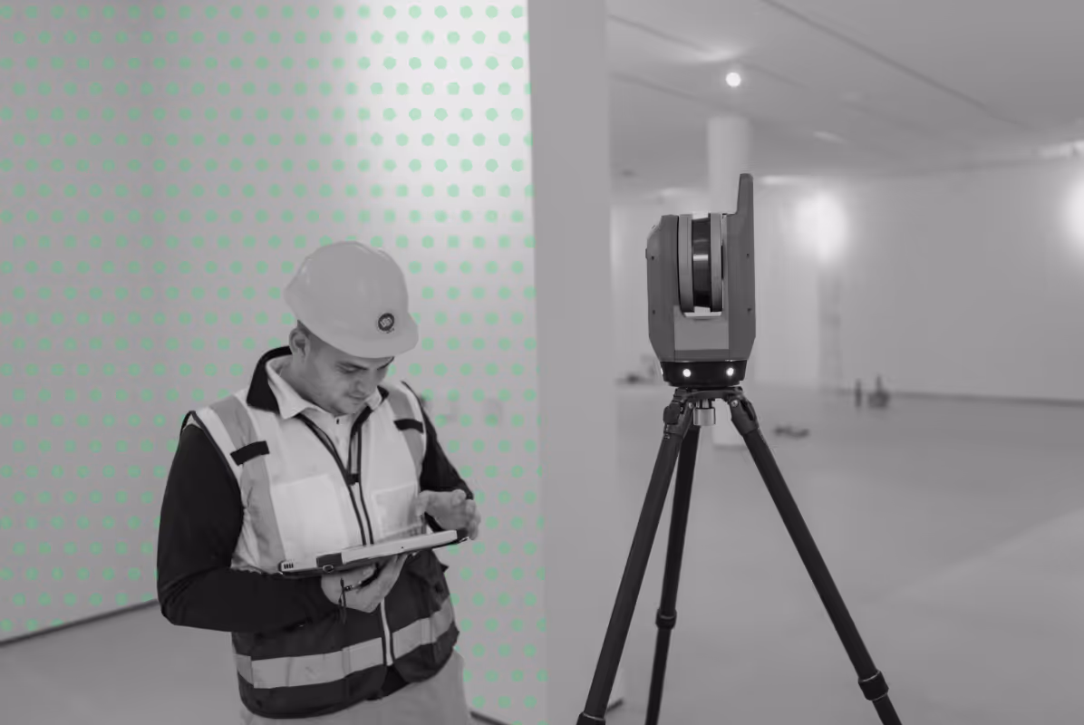
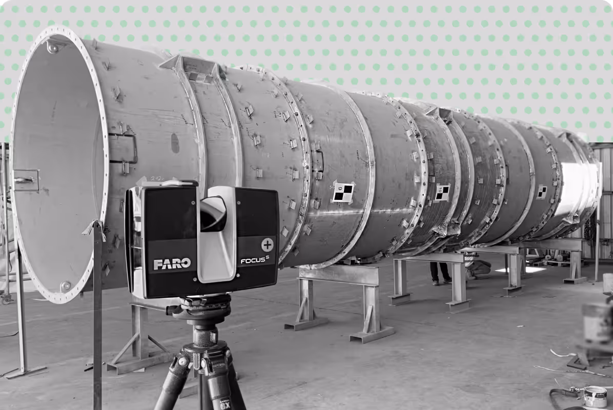
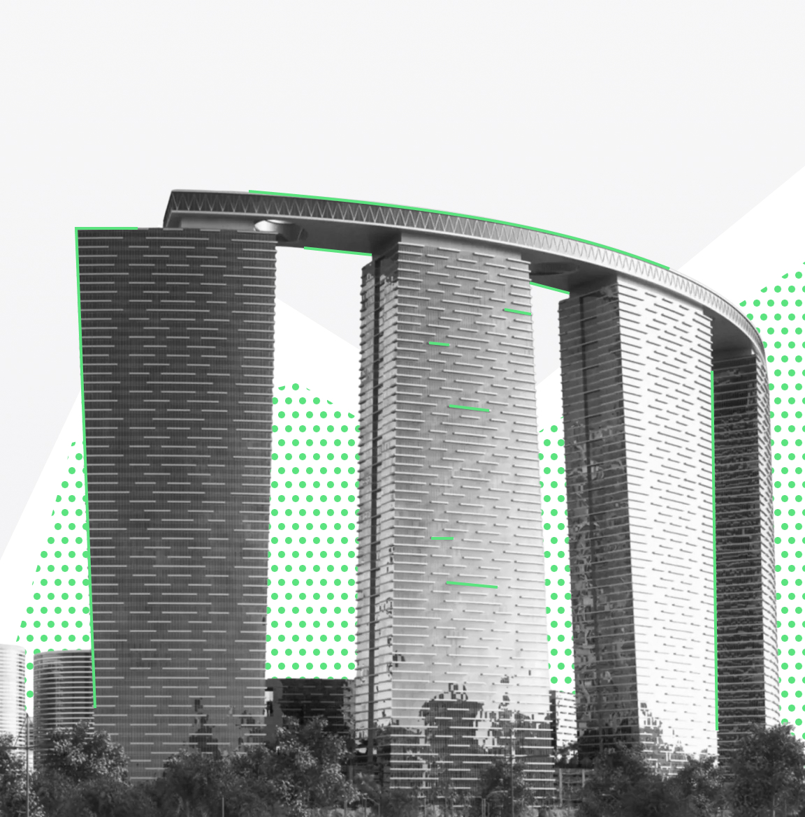
3D Laser Scanning
Precise spatial data for complex structures and environments
[
4
]
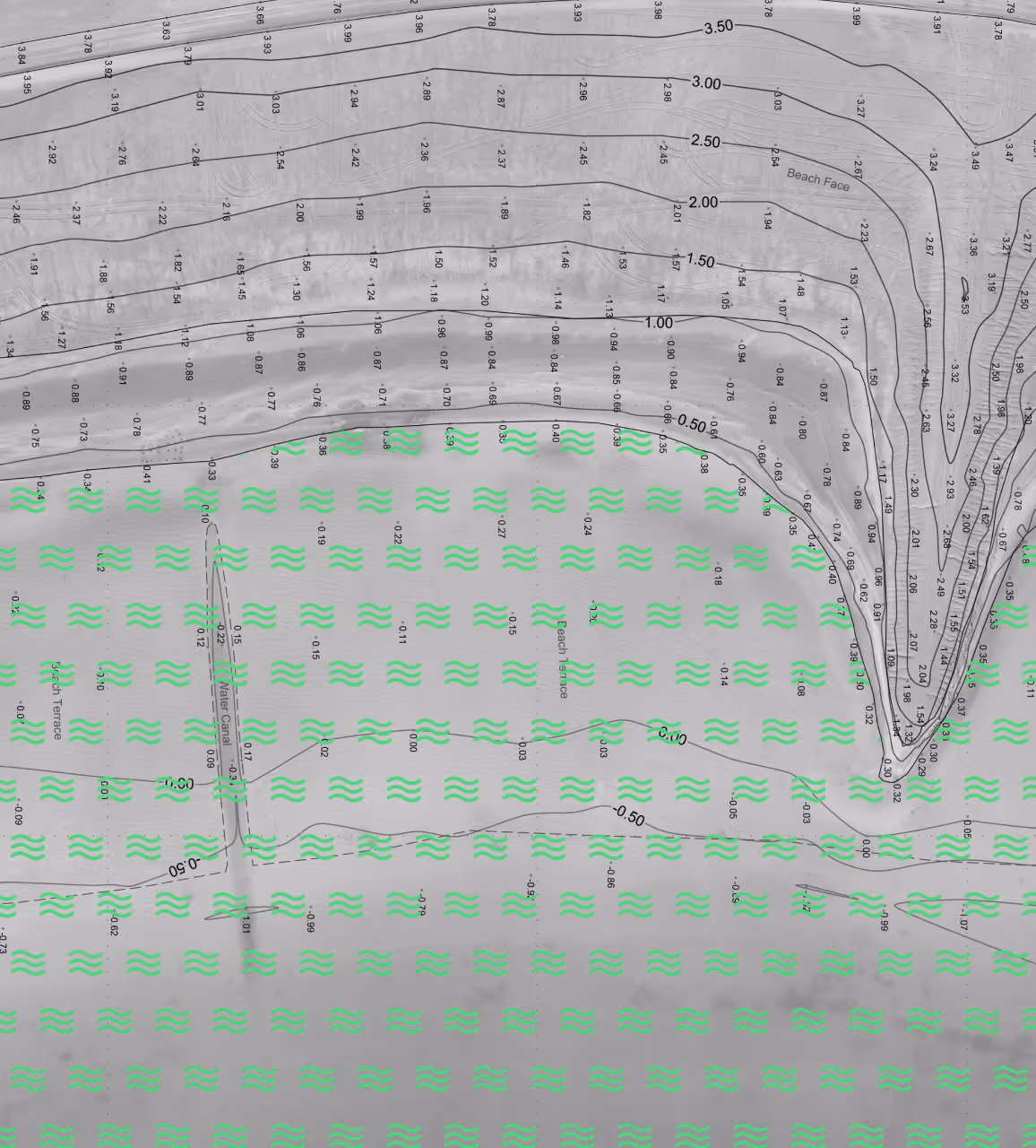
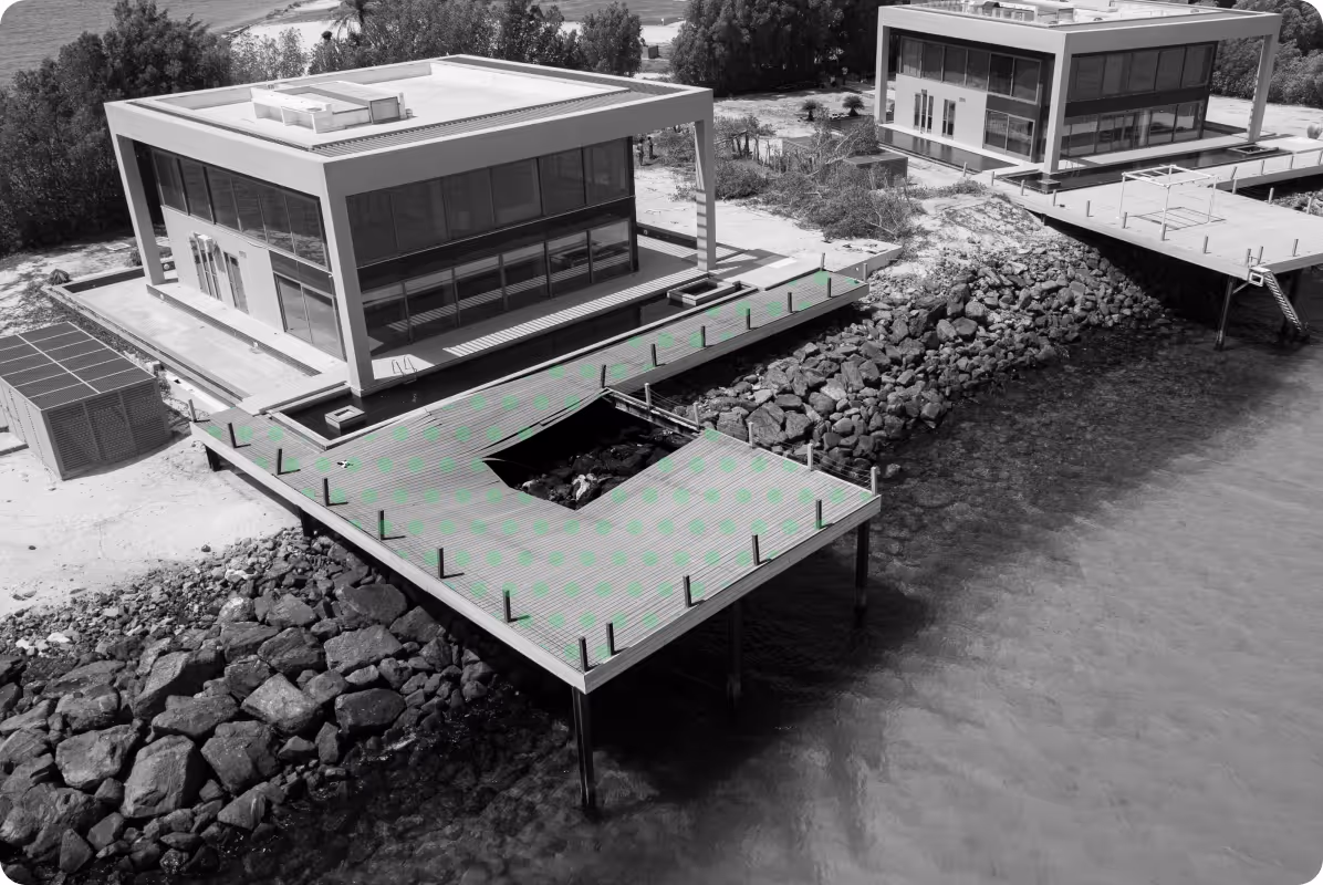
Bathymetric Surveys
Reliable depth and underwater mapping for coastal and constructed waterways
[
5
]
Underground Utilities Mapping
Reliable detection and mapping of buried infrastructure.

[
6
]
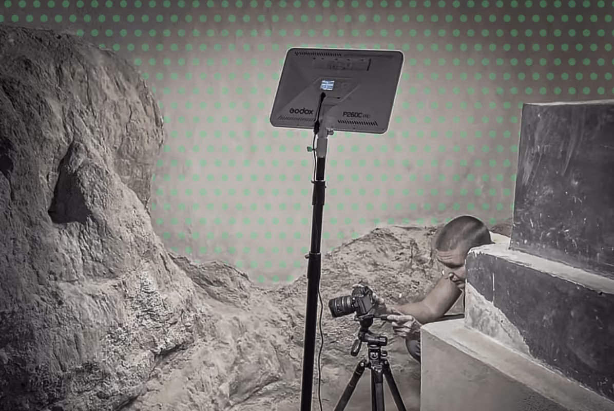
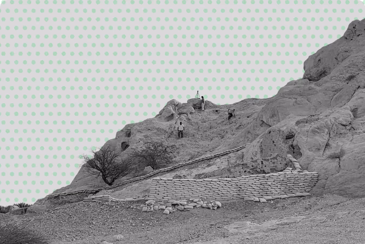
Heritage & Archeology Surveys
Detailed recording of cultural sites and historic assets.
[
7
]
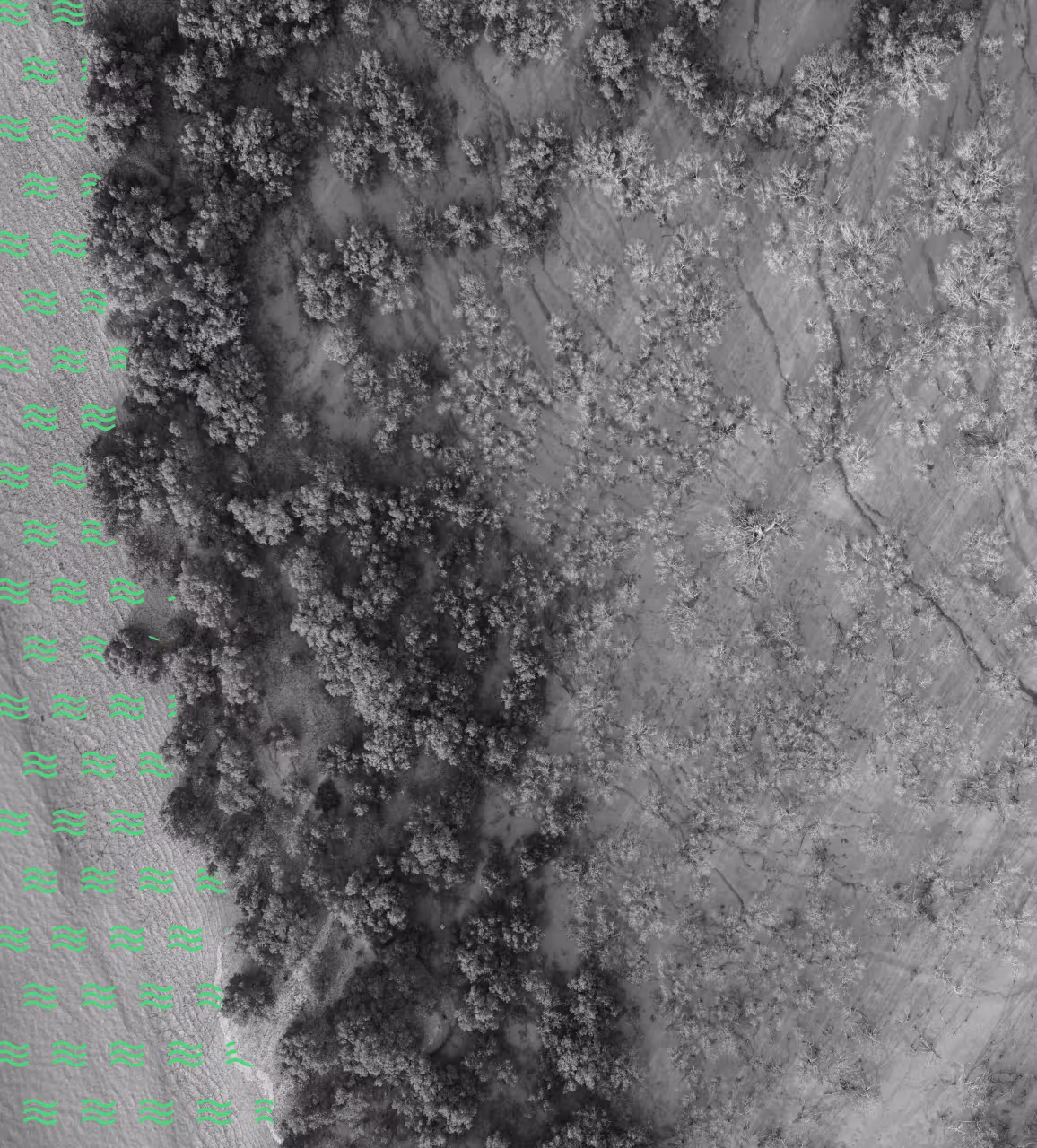
Environmental Studies
Data‑driven assessments of natural conditions and habitats.

[
8
]
GIS Analytics & Mapping
Integrated spatial analysis for informed decision‑making.

[
9
]
Engineering Studies
Technical assessments that guide safe, efficient design.
[
10
]
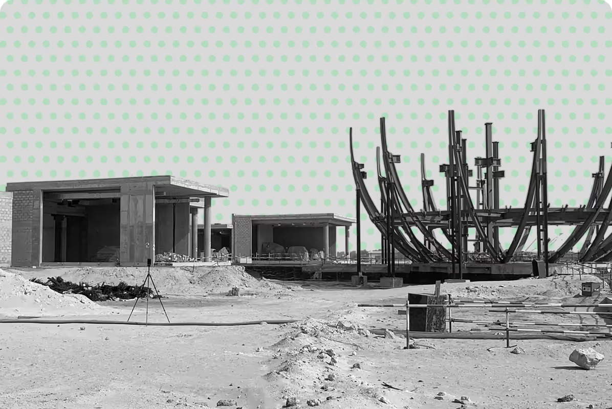
Surveying in Constructions
Accurate measurements supporting every stage of building works.
[
CASE STUDIES
]
Projects That Speak
for Themselves
for Themselves


[
Industries
]
Sectors we work with
[FOCUS AREA]
Building design and construction surveys
Structural and geotechnical studies
As-built verification and reporting
Earthworks grading and layout control
[FOCUS AREA]
Urban design and master planning
Land use zoning and GIS mapping
Smart city infrastructure analysis
Survey control and layout planning
[FOCUS AREA]
Flood risk and watershed studies
Habitat and ecosystem mapping
Erosion and land degradation
Environmental impact assessments
[FOCUS AREA]
Crop health and NDVI monitoring
Irrigation and land use planning
Forestry mapping and inventory
Agricultural yield assessments
[FOCUS AREA]
Mine and quarry volumetric surveys
Deformation and subsidence checks
Extraction planning and analysis
UAV topographical mapping
[FOCUS AREA]
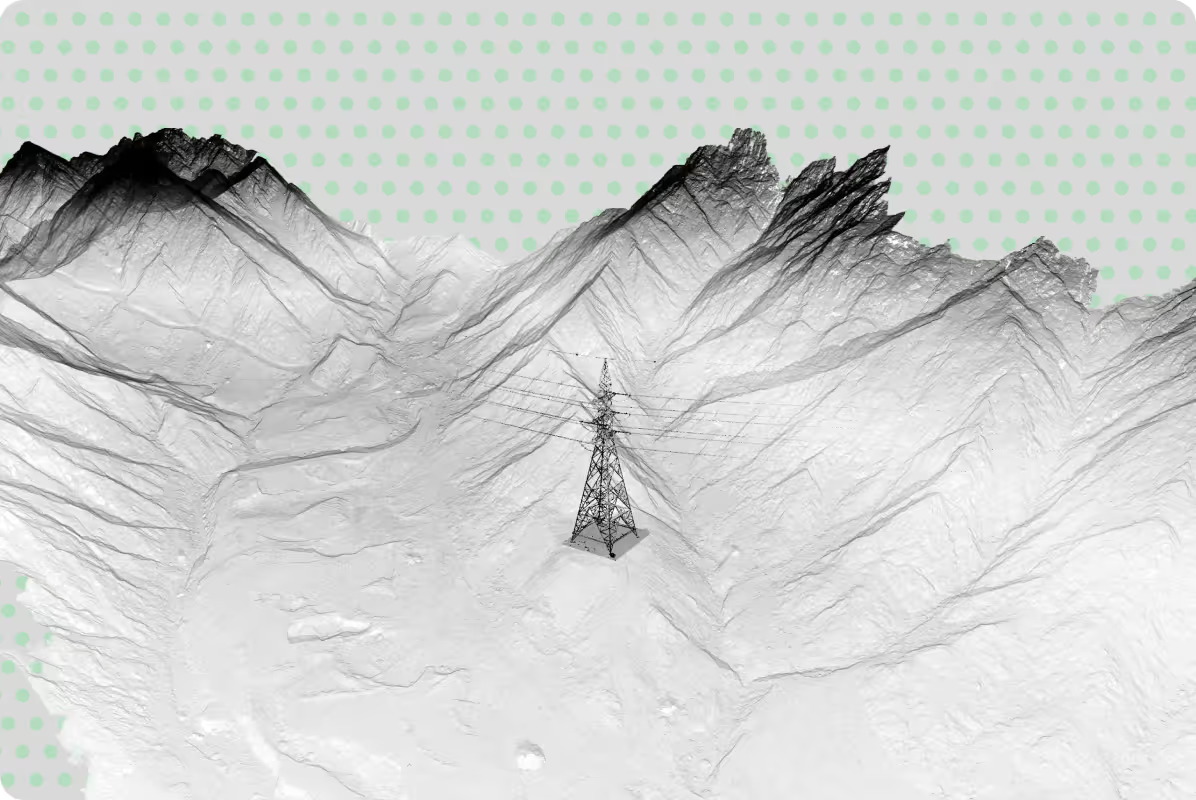
Transmission power line surveys
Oil and gas infrastructure scans
Renewable energy site mapping
Utility asset data reporting
[FOCUS AREA]
Architectural and 3D documentation
Photographic heritage recording
Conservation planning surveys
Master planning of heritage sites
[FOCUS AREA]
Bathymetric and coastal surveys
Dredging and volumetric studies
Shoreline and mangrove mapping
Marine infrastructure analysis
[FOCUS AREA]
Construction progress dashboards
Flood and environmental modeling
Asset management reporting
Land use zoning analytics
Construction & Civil Engineering
[FOCUS AREA]
Crop health and NDVI monitoring
Irrigation and land use planning
Forestry mapping and inventory
Agricultural yield assessments
Urban Development & Planning
[FOCUS AREA]
Urban design and master planning
Land use zoning and GIS mapping
Smart city infrastructure analysis
Survey control and layout planning
Environmental Resources
[FOCUS AREA]
Flood risk and watershed studies
Habitat and ecosystem mapping
Erosion and land degradation
Environmental impact assessments
Agriculture & Forestry
[FOCUS AREA]
Crop health and NDVI monitoring
Irrigation and land use planning
Forestry mapping and inventory
Agricultural yield assessments
Mining & Quarrying
[FOCUS AREA]
Mine and quarry volumetric surveys
Deformation and subsidence checks
Extraction planning and analysis
UAV topographical mapping
Energy & Utilities
[FOCUS AREA]
Transmission power line surveys
Oil and gas infrastructure scans
Renewable energy site mapping
Utility asset data reporting
Heritage & Archaeology
[FOCUS AREA]
Architectural and 3D documentation
Photographic heritage recording
Conservation planning surveys
Master planning of heritage sites
Marine & Coastal Engineering
[FOCUS AREA]
Bathymetric and coastal surveys
Dredging and volumetric studies
Shoreline and mangrove mapping
Marine infrastructure analysis
GIS, Analytics & Data Reporting
[FOCUS AREA]
Construction progress dashboards
Flood and environmental modeling
Asset management reporting
Land use zoning analytics

Why Partner With UPGs
Proudly Abu Dhabi, Emirati and GCC Focused
Privileged to have contributed to the UAE's and region's evolving landscape - from heritage preservation to modern developments.
Flexible Thinking
Privileged to have contributed to the UAE's and region's evolving landscape - from heritage preservation to modern developments.
Committed to the Client and the Task
Privileged to have contributed to the UAE's and region's evolving landscape - from heritage preservation to modern developments.
Advanced Solutions with Practical Results
Privileged to have contributed to the UAE's and region's evolving landscape - from heritage preservation to modern developments.
Discover next-level solutions with UPG Surveying