[
Topographic Survey Services
]
Power Transmission Surveys
Aerial Photogrammetry and Ground Surveys
client
EPC Power Transmission Contractor
PROJECT SCOPE
Transmission overhead line and cabling works
Year
2021

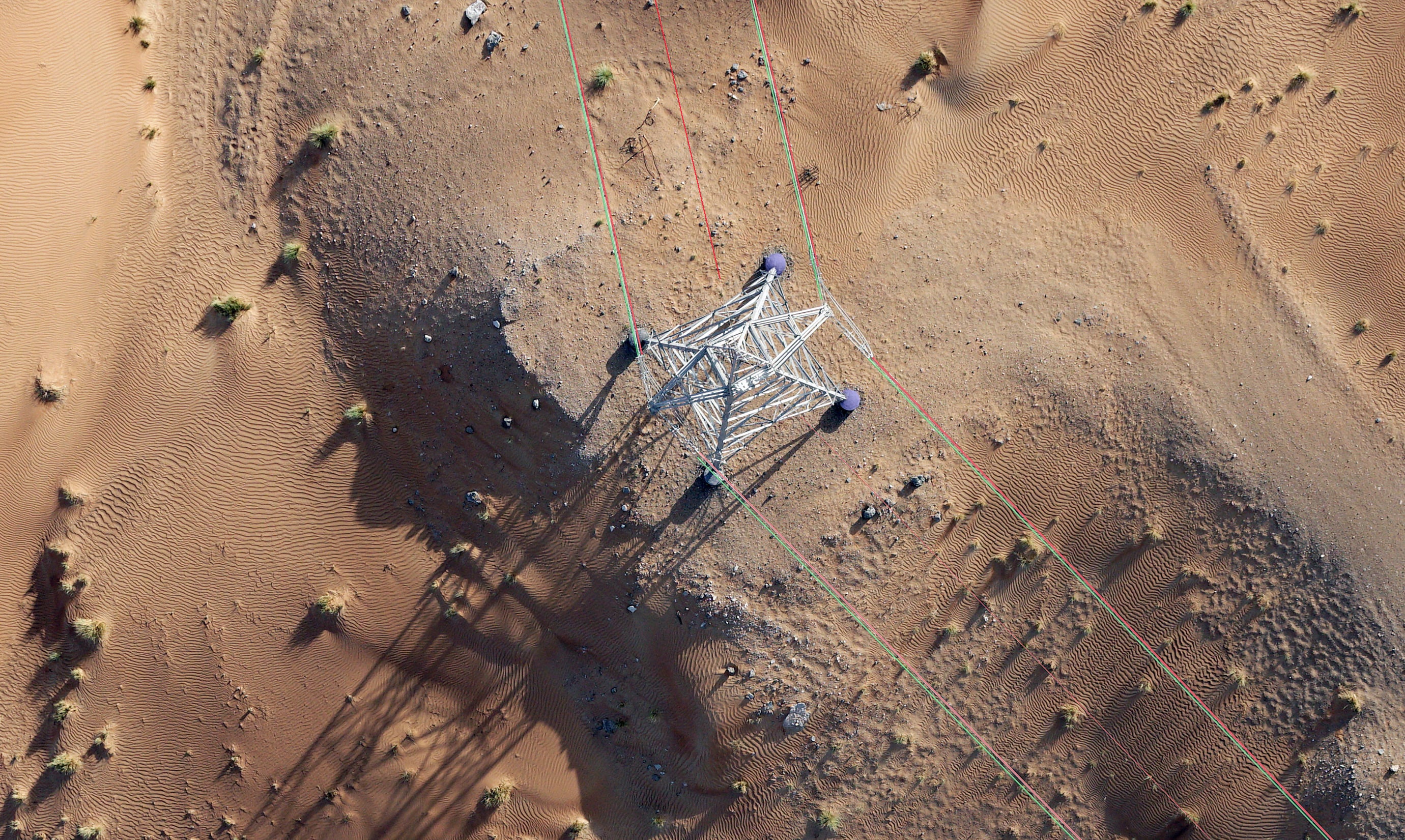
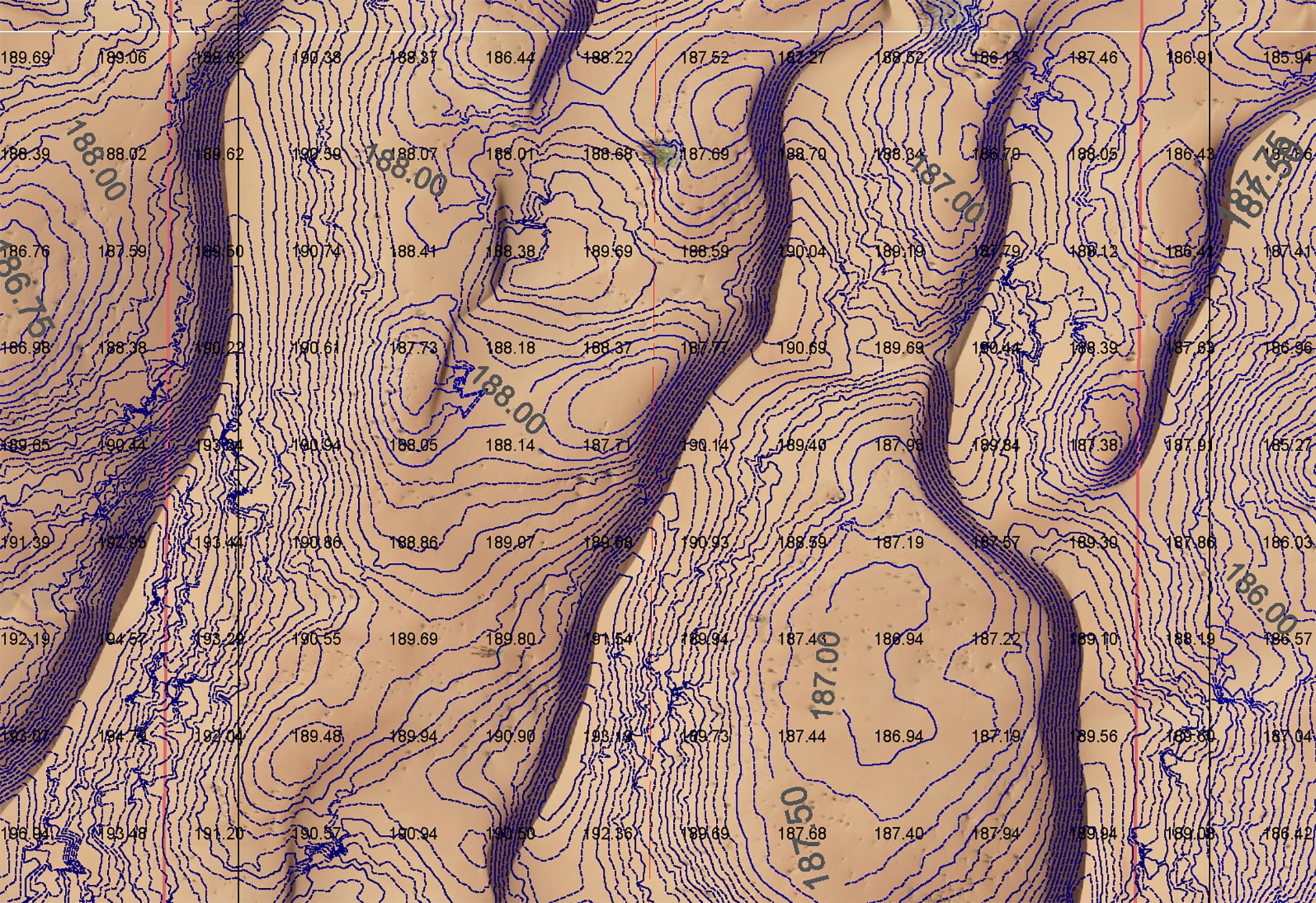
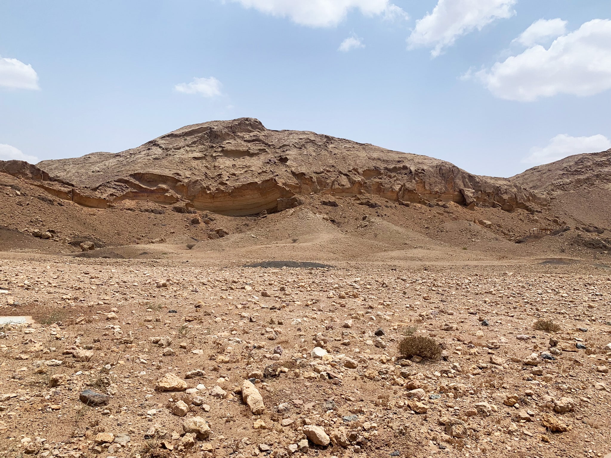
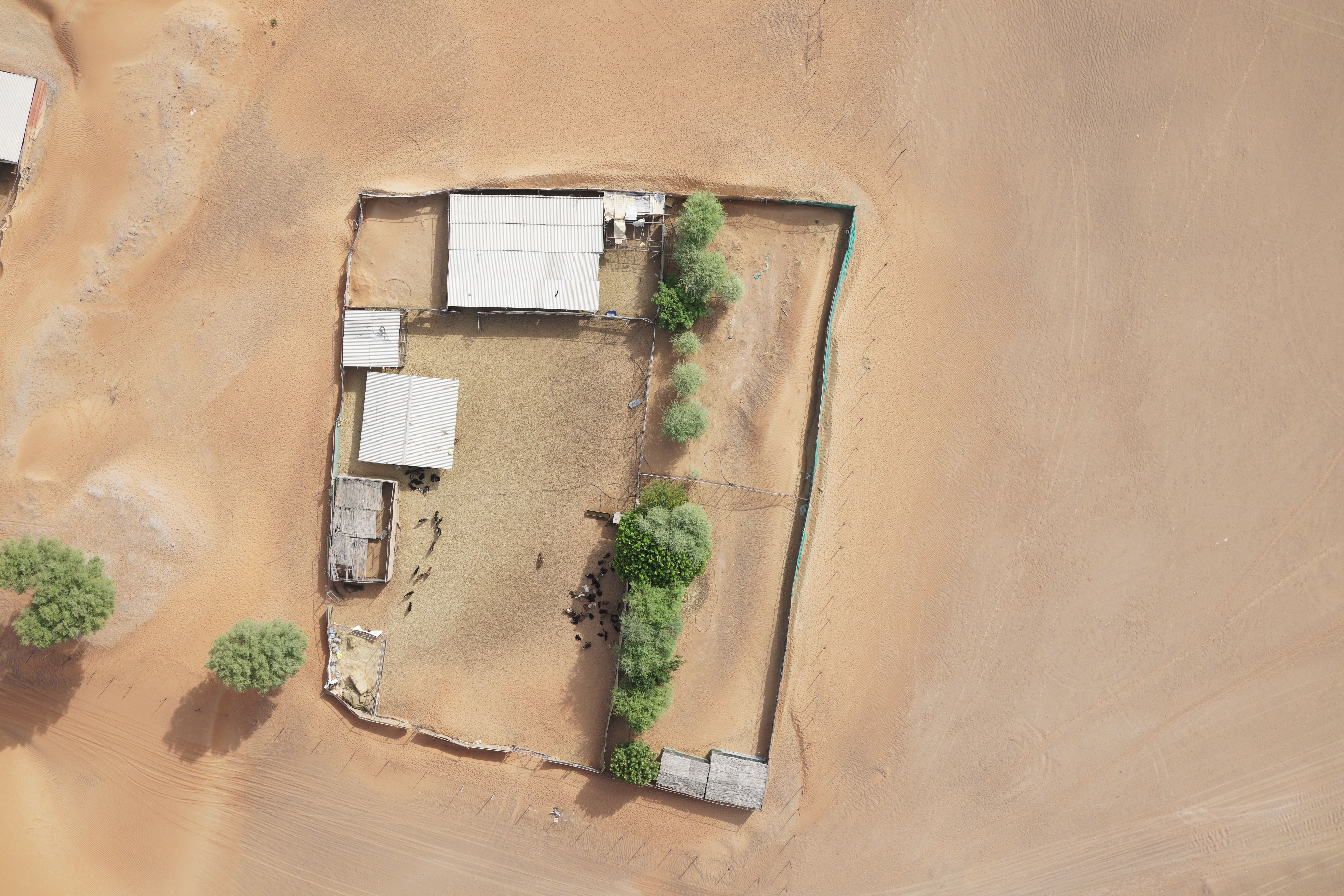
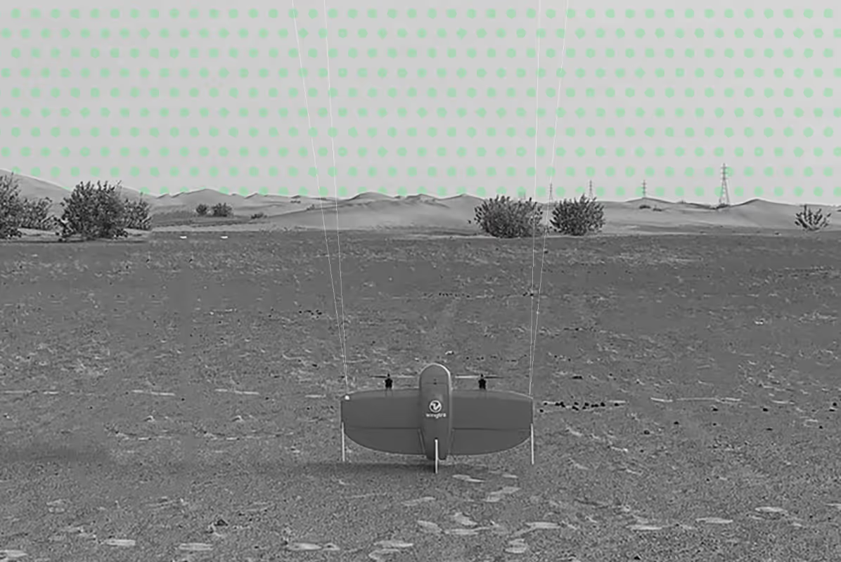
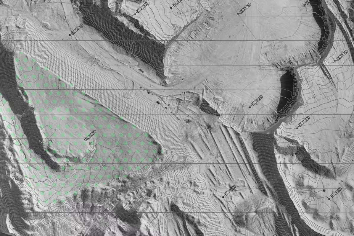
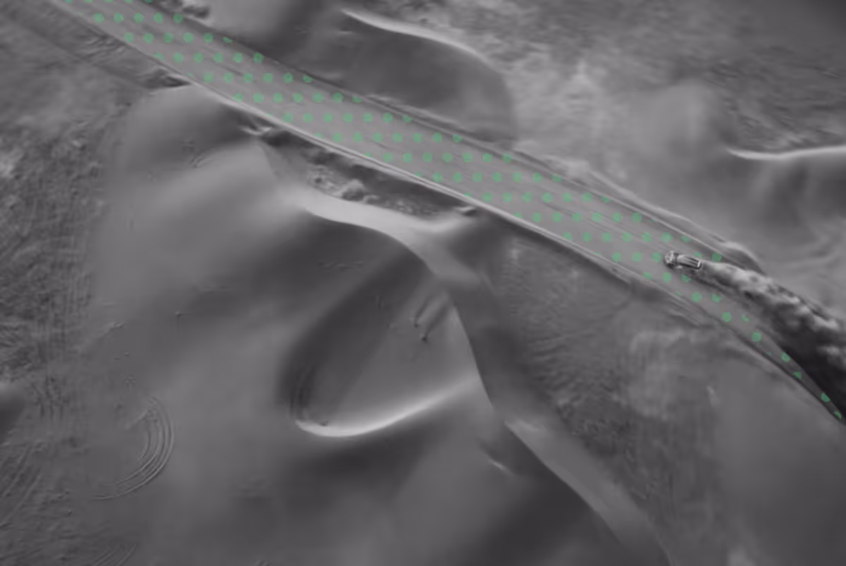
We were commissioned to support the development of a new 193 kV overhead transmission line extending 33 km through a remote sand dune region. The project required complete field surveying and design-grade mapping to enable accurate route planning, engineering design, and construction preparation.
Our responsibilities covered the entire 100 m wide proposed route corridor and included:
- Conducting detailed topographic surveys across complex and shifting sand dune terrain
- Producing full survey mapping of the proposed OHL route alignment
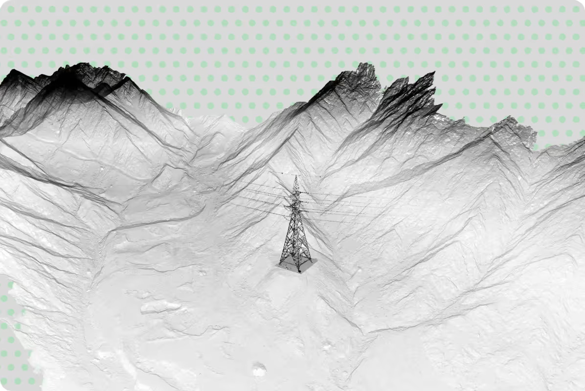
- Surveying catenary profiles of several existing transmission lines intersecting the corridor
- Supplying design-grade geospatial data for engineering, access planning, and structural layout
Outcome & Deliverables
Our final deliverables provided precise datasets required for routing, design, and construction planning, including:
- AutoCAD drawings
- Excel-based quantity and elevation reports
- PDF maps and survey documentation
- PLC CAD formats as requested by the engineering team
The outputs delivered reliable, high-accuracy geospatial information, enabling the client to complete design, prepare construction logistics, and plan tower placement and conductor clearances within a challenging desert environment.

[
CASE STUDIES
]
Projects That Speak
for Themselves
for Themselves

.png)


Discover next-level solutions with UPG Surveying